Install
Plymouth, England, United Kingdom Weather
Current conditions
Forecast for this hour (no station report in the last two hours)
Forecast
10-day-
Sunday
Partly cloudy. High 13°. Precipitation 0.7 mm for the day.
-
Sunday Night
Rain. Low 11°. Precipitation 0.7 mm for the day.
-
Monday
Heavy rain. High 15°. Precipitation 16.3 mm for the day.
MET Norway forecast updated 18 hrs ago.
Hourly
Hourly forecast- Now13°
- 14:0013°
- 15:0012°
- 16:0012°
- 17:0011°
- 18:0011°
- 19:0011°
- 20:0011°
- 21:0011°
- 22:0011°
- 23:0011°
- Mon00:0012°
- 01:0012°
- 02:0012°
- 03:0012°0.2
- 04:0012°0.8
- 05:0012°1.3
- 06:0012°2.5
- 07:0013°2.7
- 08:0014°3.4
- 09:0015°1.8
- 10:0015°0.2
- 11:0015°
- 12:0015°0.2
Daily forecast
DetailsRadar
Full mapWeather news near Plymouth
More weather news-
 Storm Austen Amber Alert Puts UK Travel on High Alert
Storm Austen is forecast to bring 80mph gusts, heavy rain and widespread disruption across southern UK, with rail, road, air and ferry travel already being adjusted. Storm Austen, the first named storm of the 2026–27…
-
 Two storms in two days as Austen and Boelo target UK
The Met Office have named a new storm, Boelo, which is set to bring another round of stormy weather to the UK over the weekend. Amber wind warnings have been issued by the Met Office with gusts expected to reach…
-
 Become an Independent member to bookmark this article
UK weather forecast for 20 October UK weather: Storm Austen to bring 80mph winds as weather warnings issued - Storm Austen, the first named storm of the season, is forecast to bring severe winds of up to 80mph alongside…
-
 Met Office Issues Amber Warning as Storm Austen Brings 80mph Winds to the UK
The Met Office has issued an amber wind warning for southwest England as Storm Austen approaches, threatening 80mph gusts and widespread disruption. The United Kingdom is bracing for severe weather disruption as the Met…
-
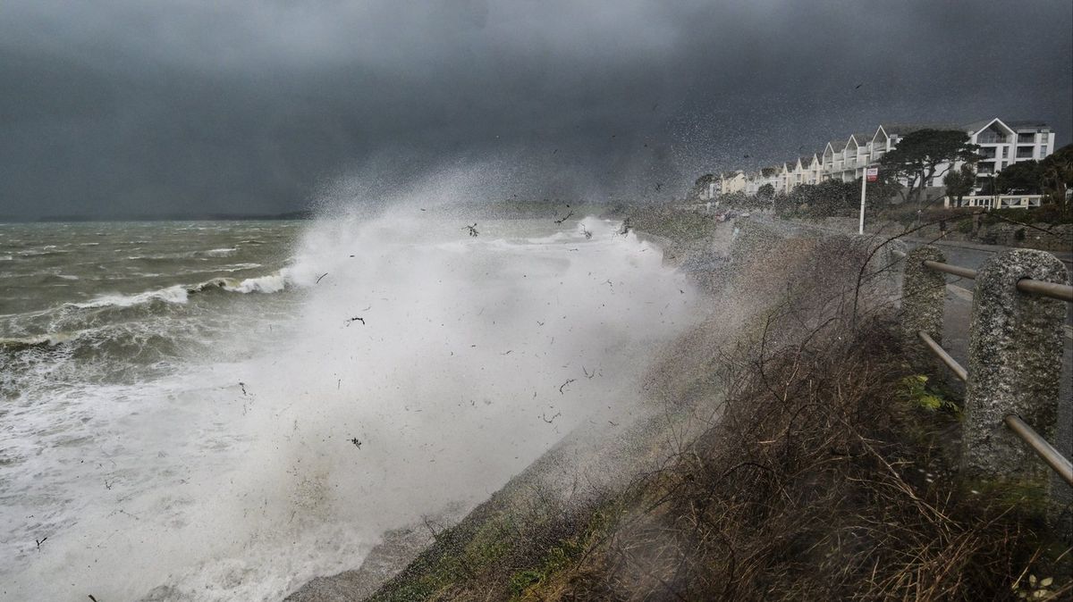 Storm Austen to hit UK within hours as Met Office issues amber warning over 'danger to life'
The Met Office has warned that Storm Austen could cause serious disruption when it hits the UK tonight Amber and yellow weather warnings are in place for parts of the UK as Storm Austen is set to hit. The storm is the…
-
 How windy will it be this week? Where 80mph winds will hit as Storm Austen AND Boelo target UK
STORM Austen, the first named storm of the season, is set to batter the UK bringing gale-force winds and torrential rain. The Met Office has issued amber and yellow weather warnings, saying gusts could cause power cuts…
-
 Met Office Warns of Storm Austen As Just 13% of Brits Feel Fully Prepared
Storm Austen is heading towards Britain, bringing warnings of damaging winds and possible power cuts. Yet new Met Office research reveals a striking gap in winter preparedness, raising questions about how ready…
-
 Storm Austen to batter UK – but just 1 in 8 Brits 'fully prepared' for winter
Just one in eight people is fully prepared for winter weather, research has revealed. Only 13% of people say they are ready for severe winter weather ahead of the first named storm of the season, the Met Office found…
-
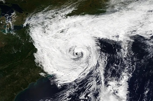 Deadly nor’easter dumps several inches of rain, strong winds in Massachusetts, Rhode Island and we aren’t done
A deadly slow-moving September nor’easter dumped several inches of rain on Fall River and the rest of southeastern Massachusetts over the weekend, according to the National Weather Service in Boston/Norton, while the…
-
 Storm Austen to hit Devon and Cornwall rail services on Friday
Storm Austen’s strong winds and Met Office amber warnings will slow and cut Devon and Cornwall rail services on Friday, with long distance trains curtailed. Rail passengers across Devon and Cornwall are being urged to…
Sun & moon
Nearby
- Exeter 59 km
- Paignton 41 km
- Torquay 45 km
- Newton Abbot 41 km
- Exmouth 59 km
- St Austell 45 km
- Plymstock 4 km
- Bodmin 43 km
- Brixham 45 km
- Saltash 7 km
- Teignmouth 50 km
- Tavistock 20 km
Forecasts, observations and alerts in the United States come from the National Weather Service (NOAA); radar from NOAA's Multi-Radar Multi-Sensor system; satellite imagery from NASA's Global Imagery Browse Services (GIBS) and NOAA's GOES satellites; the map from the U.S. Geological Survey's National Map; air quality from AirNow (EPA and its partners); hurricane information from the National Hurricane Center; climate normals and records from NOAA's Regional Climate Centers (ACIS). Forecasts outside the United States and the UV index: MET Norway (CC BY 4.0); observations outside the U.S.: airport reports via NOAA's Aviation Weather Center. Place names: GeoNames (CC BY 4.0). Data are copied on a schedule and may lag the sources; for warnings that affect your safety, follow your local National Weather Service office and emergency officials. Weather news is drawn from the 4Search index and reflects what the press published. Terms of use. How to use Weather