Install
Newtownards, Northern Ireland, United Kingdom Weather
Current conditions
Observed at Belfast/Harbour Arpt · 1 hr ago
Forecast
10-day-
Friday
Heavy rain. High 9°. Precipitation 3.4 mm for the day.
-
Friday Night
Partly cloudy. Low 6°. Precipitation 3.4 mm for the day.
-
Saturday
Heavy rain. High 13°. Precipitation 13.2 mm for the day.
MET Norway forecast updated 11 hrs ago.
Hourly
Hourly forecast- Now7°
- 22:007°
- 23:006°
- Sat00:006°
- 01:005°
- 02:006°
- 03:006°
- 04:006°
- 05:006°
- 06:007°
- 07:007°0.3
- 08:007°1.0
- 09:008°1.9
- 10:009°1.8
- 11:0010°2.5
- 12:0011°2.5
- 13:0012°1.9
- 14:0012°0.3
- 15:0013°0.3
- 16:0012°0.3
- 17:0011°
- 18:0010°
- 19:009°
- 20:008°
Daily forecast
DetailsRadar
Full mapWeather news near Newtownards
More weather news-
 Belfast enjoys rare sunny break with warming temperatures of 12°C on October 22, 2026
Belfast, October 22, 2026 - Today, residents can expect a rare break from the rain as the city enjoys a sunny day with maximum temperatures reaching 12°C. With a minimal chance of rain at only 10%, this daytime weather…
-
 'I'm a DIY expert - make sure to check these 5 things before turning on your heating'
Have you put your heating on yet? While many people will have already turned their central heating back on after the record heat of this summer, others will insist it's not cold enough yet. The Met Office says homes…
-
 Why is it so dark this morning?
ANYONE dragging themselves out of bed in total darkness has the changing seasons to thank as winter draws ever nearer. Sunrise is creeping later and later each morning, while the sun is disappearing earlier in the…
-
 Belfast weather forecast: Pleasant day with sunny intervals and cool breeze expected
Belfast, October 19, 2026. Today, the city is set for a mostly pleasant day, with a mix of sunny intervals and a prevailing cool breeze. Belfast, October 19, 2026 Today, the city is set for a mostly pleasant day, with a…
-
 Sunny weather forecasted for Belfast today with temperatures up to 12°C and low rain chances
The Times of India Belfast, 18 October 2026 The weather today is expected to be sunny, offering residents a pleasant break from the ongoing autumn chill The maximum temperature is forecasted to reach 12°C, while the…
-
 Belfast weather forecast: Sunny intervals and mild temperatures expected today with highs of 12°C
Belfast, 17 October 2026. Today, residents can expect a day characterized by sunny intervals with temperatures reaching a high of 12°C. Belfast, 17 October 2026 Today, residents can expect a day characterized by sunny…
-
 Belfast weather forecast for today: Sunny intervals with a chance of light rain and high of 12°C
The Times of India Belfast, October 16, 2026 Today, residents can expect a mix of sunny intervals with a high temperature reaching 12°C This relatively mild day will be accompanied by a 50% chance of rain, indicating…
-
 Storm Austen lashes UK as yellow wind warning widens
Storm Austen, the UK’s first named storm of the season, is bringing 80 mph gusts, travel disruption and a broad yellow wind warning across large areas. Storm Austen, the first named storm of the 2026–27 windstorm…
- Trains cancelled amid amber wind warning and 80mph gust threat
Network Rail has announced railway closures, beginning on Saturday night, as two storms are expected to bring disruption across the country this weekend. The Met Office has issued several amber warnings for wind across…
-
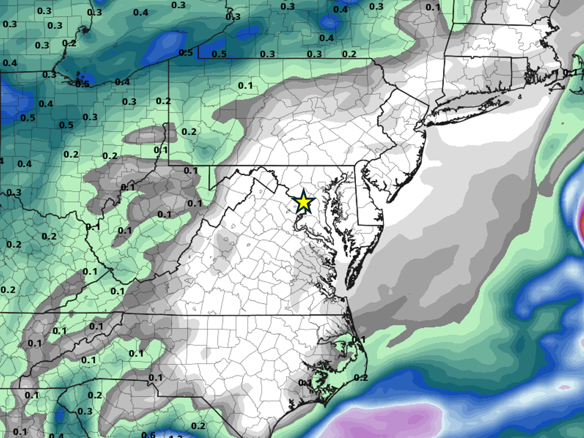 When will it rain in the DC area again?
Probably not for a while. All the major weather models show no precipitation anywhere close to the DC area through at least the end of the month, thanks to high pressure remaining locked in place most of the time. Of…
Sun & moon
Nearby
- Belfast 15 km
- Lisburn 23 km
- Newtownabbey 16 km
- Bangor 8 km
- Craigavon 48 km
- Castlereagh 13 km
- Portadown 52 km
- Carrickfergus 16 km
- Ballymena 48 km
- Antrim 36 km
- Larne 30 km
- Banbridge 47 km
Forecasts, observations and alerts in the United States come from the National Weather Service (NOAA); radar from NOAA's Multi-Radar Multi-Sensor system; satellite imagery from NASA's Global Imagery Browse Services (GIBS) and NOAA's GOES satellites; the map from the U.S. Geological Survey's National Map; air quality from AirNow (EPA and its partners); hurricane information from the National Hurricane Center; climate normals and records from NOAA's Regional Climate Centers (ACIS). Forecasts outside the United States and the UV index: MET Norway (CC BY 4.0); observations outside the U.S.: airport reports via NOAA's Aviation Weather Center. Place names: GeoNames (CC BY 4.0). Data are copied on a schedule and may lag the sources; for warnings that affect your safety, follow your local National Weather Service office and emergency officials. Weather news is drawn from the 4Search index and reflects what the press published. Terms of use.