Install
Lytham St Annes, England, United Kingdom Weather
Current conditions
Observed at Blackpool Arpt · 35 min ago
Forecast
10-day-
Sunday
Light showers. High 12°. Precipitation 3.1 mm for the day.
-
Sunday Night
Light showers. Low 11°. Precipitation 3.1 mm for the day.
-
Monday
Heavy rain. High 16°. Precipitation 8.9 mm for the day.
MET Norway forecast updated 1 day ago.
Hourly
Hourly forecast- Now11°
- 07:0011°
- 08:0011°0.2
- 09:0011°0.6
- 10:0011°0.2
- 11:0012°0.2
- 12:0012°
- 13:0012°0.2
- 14:0012°
- 15:0012°
- 16:0012°0.2
- 17:0012°
- 18:0011°
- 19:0011°
- 20:0011°
- 21:0011°
- 22:0011°
- 23:0011°
- Mon00:0011°
- 01:0011°
- 02:0011°
- 03:0011°
- 04:0011°
- 05:0011°
Daily forecast
DetailsRadar
Full mapWeather news near Lytham St Annes
More weather news-
 Liverpool vs Brighton: Met Office issue statement amid fixture postponement concerns due to Storm Boelo
A statement has been issued placing the Liverpool vs Brighton Premier League fixture in doubt. Storm Austen and Storm Boelo sweep across the UK, a number of events scheduled to take place on Merseyside this weekend have…
-
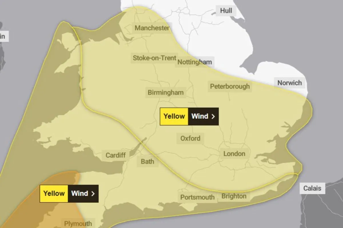 Met Office issues 11-hour yellow weather warning for Liverpool
Trending Now Infrastructure
-
 Rain and possible thunderstorms expected in San Diego County this week
SAN DIEGO (KUSI/FOX 5) -- Rain is expected to return to San Diego County this week, with the National Weather Service forecasting cooler temperatures, showers and a chance of thunderstorms across the region. According…
-
 Liverpool weather forecast for October 20, 2026: Light rain and cool temperatures expected
The Times of India Liverpool, October 20, 2026, is set to experience a gloomy day with light rain expected throughout Today's maximum temperature will reach around 11°C, with a low of 7°C, creating a chilly atmosphere…
-
 Eight Steam Packet sailings at risk as gale-force winds forecast
The ferry operator has issued a warning Eight Isle of Man Steam Packet Company sailings are at risk of disruption or cancellation as gale-force winds are forecast to affect the island later this week. The crossings…
-
 Tropical development possible off Southeast coast as system drifts northeast
Mid-Atlantic coastal waters are watching a non-tropical low-pressure system with a 40% chance of development over seven days. The system is expected to meander over warm waters and drift slowly northeast away from Tampa…
-
 Liverpool weather forecast for October 18: sunny intervals, temperatures from 8°C to 13°C
The Times of India Liverpool, October 18, 2026 â Today, Liverpool will experience a day characterized by sunny intervals, with maximum temperatures reaching 13°C and a minimum of 8°C The weather is set to be largely…
-
 Work week weather: Sunny, dry autumn days ahead in Clarksville
CLARKSVILLE, TN (CLARKSVILLE NOW) – Sunny skies and warming temperatures are expected this week, with highs climbing into the upper 70s by Wednesday. Patchy morning fog is possible Monday and Tuesday, but otherwise dry…
-
 Storm Boelo Batters Northern UK With 80Mph Winds And Heavy Rain As Met Office Issues Amber Weather Warnings
Zaini is Editor at The Sunday Guardian. She focuses on geopolitics, defence, international affairs, and breaking news coverage. She has worked in fast-paced newsrooms, including WION, Republic Media Network, India Today…
-
 UK Weather Update: Met Office Warns Storm Boelo Could Bring 80mph Winds and Heavy Rain Across Scotland, Northern Ireland & Northern England; Check Forecast & Latest Updates
Weather warnings have been issued and rail services restricted to protect passengers as the storm threatens to disrupt transport, damage property and increase the risk of flooding. The post UK Weather Update: Met Office…
Sun & moon
Nearby
- Manchester 58 km
- Liverpool 37 km
- Birkenhead 39 km
- Preston 19 km
- St Helens 37 km
- Wigan 32 km
- Warrington 48 km
- Burnley 51 km
- Blackburn 34 km
- Blackpool 9 km
- Bolton 41 km
- Salford 55 km
Forecasts, observations and alerts in the United States come from the National Weather Service (NOAA); radar from NOAA's Multi-Radar Multi-Sensor system; satellite imagery from NASA's Global Imagery Browse Services (GIBS) and NOAA's GOES satellites; the map from the U.S. Geological Survey's National Map; air quality from AirNow (EPA and its partners); hurricane information from the National Hurricane Center; climate normals and records from NOAA's Regional Climate Centers (ACIS). Forecasts outside the United States and the UV index: MET Norway (CC BY 4.0); observations outside the U.S.: airport reports via NOAA's Aviation Weather Center. Place names: GeoNames (CC BY 4.0). Data are copied on a schedule and may lag the sources; for warnings that affect your safety, follow your local National Weather Service office and emergency officials. Weather news is drawn from the 4Search index and reflects what the press published. Terms of use.