Install
Chester, England, United Kingdom Weather
Current conditions
Forecast for this hour (no station report in the last two hours)
Forecast
10-day-
Thursday
Partly cloudy. High 11°. Precipitation 2.2 mm for the day.
-
Thursday Night
Heavy rain. Low 9°. Precipitation 2.2 mm for the day.
-
Friday
Heavy rain. High 10°. Precipitation 19.6 mm for the day.
MET Norway forecast updated 9 hrs ago.
Hourly
Hourly forecast- Now9°1.7
- Fri00:009°0.8
- 01:009°1.6
- 02:009°1.9
- 03:009°0.4
- 04:009°
- 05:0010°
- 06:009°
- 07:009°
- 08:008°2.7
- 09:009°1.4
- 10:0010°1.2
- 11:0010°2.2
- 12:009°1.9
- 13:009°1.3
- 14:009°0.8
- 15:008°0.8
- 16:008°1.0
- 17:008°1.1
- 18:008°0.4
- 19:009°
- 20:009°
- 21:009°
- 22:009°
10-day forecast
DetailsRadar
Full mapWeather news near Chester
More weather news-
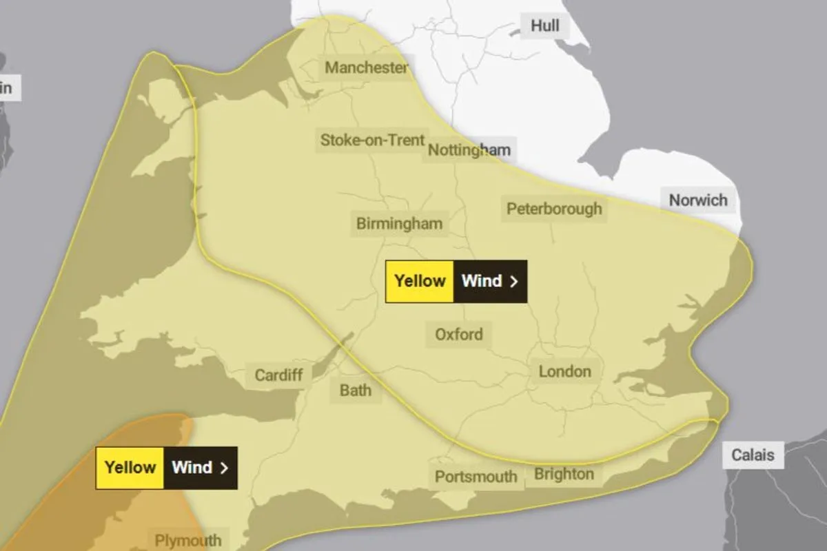 Met Office issues 11-hour yellow weather warning for Liverpool
Trending Now Infrastructure
-
 Tropical Storm Vance has formed in the Pacific Ocean
Vance was located about 520 miles south of Acapulco, Mexico, on Wednesday afternoon. The center of the cyclone was at sea and posed no threat to land. Vance was located about 520 miles south of Acapulco, Mexico. Maximum…
-
 Liverpool weather forecast for October 20, 2026: Light rain and cool temperatures expected
The Times of India Liverpool, October 20, 2026, is set to experience a gloomy day with light rain expected throughout Today's maximum temperature will reach around 11°C, with a low of 7°C, creating a chilly atmosphere…
-
 Why this El Niño is set to be one of the strongest on record
A rapidly strengthening El Niño is set to become one of the strongest on record, bringing higher temperatures and shifting rainfall patterns across the globe, the World Meteorological Organisation says. The weather…
-
 Eight Steam Packet sailings at risk as gale-force winds forecast
The ferry operator has issued a warning Eight Isle of Man Steam Packet Company sailings are at risk of disruption or cancellation as gale-force winds are forecast to affect the island later this week. The crossings…
-
 Tropical development possible off Southeast coast as system drifts northeast
Mid-Atlantic coastal waters are watching a non-tropical low-pressure system with a 40% chance of development over seven days. The system is expected to meander over warm waters and drift slowly northeast away from Tampa…
-
 Liverpool weather forecast for October 18: sunny intervals, temperatures from 8°C to 13°C
The Times of India Liverpool, October 18, 2026 â Today, Liverpool will experience a day characterized by sunny intervals, with maximum temperatures reaching 13°C and a minimum of 8°C The weather is set to be largely…
-
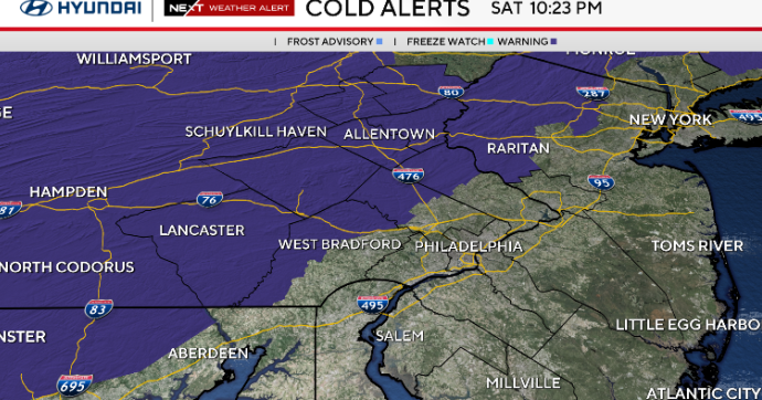 Sunny and chilly Sunday in Philadelphia area, freeze possible in some areas. Here's the weather forecast.
October 17, 2026 / 10:45 PM EDT / CBS Philadelphia Sunday starts cold with temperatures in the 30s and some spots at or below freezing north and west of Philadelphia. A freeze alert is in effect from 1 a.m. to 9 a.m…
- South Philadelphia Gets a Cold Sunday After Friday’s Storm Watch
South Philadelphia residents heading to the Eagles game at 1 p.m. Sunday should expect sunshine and temperatures in the 50s, with the 40s possible for morning tailgaters, FOX 29 Philadelphia reported. The chill follows…
-
 The National Weather Service issued a Sunday freeze warning for these Pa. counties
Upper Bucks, western Montgomery, and western Chester Counties could see temperatures as low as 31 degrees Fahrenheit Sunday, forecasters said. The National Weather Service issued a freeze warning for the early morning…
Sun & moon
Nearby
- Manchester 54 km
- Liverpool 25 km
- Birkenhead 24 km
- Stoke-on-Trent 52 km
- St Helens 31 km
- Wigan 43 km
- Warrington 31 km
- Bolton 53 km
- Stockport 55 km
- Salford 52 km
- Newcastle under Lyme 49 km
- Southport 51 km
Forecasts, observations and alerts in the United States come from the National Weather Service (NOAA); radar from NOAA's Multi-Radar Multi-Sensor system; satellite imagery from NASA's Global Imagery Browse Services (GIBS) and NOAA's GOES satellites; the map from the U.S. Geological Survey's National Map; air quality from AirNow (EPA and its partners); hurricane information from the National Hurricane Center; climate normals and records from NOAA's Regional Climate Centers (ACIS). Forecasts outside the United States and the UV index: MET Norway (CC BY 4.0); observations outside the U.S.: airport reports via NOAA's Aviation Weather Center. Place names: GeoNames (CC BY 4.0). Data are copied on a schedule and may lag the sources; for warnings that affect your safety, follow your local National Weather Service office and emergency officials. Weather news is drawn from the 4Search index and reflects what the press published. Terms of use.