Install
Brighton, England, United Kingdom Weather
Current conditions
Observed at Shoreham Arpt · 34 min ago
Forecast
10-day-
Thursday
Cloudy. High 15°. Precipitation 9.9 mm for the day.
-
Thursday Night
Heavy rain. Low 14°. Precipitation 9.9 mm for the day.
-
Friday
Heavy rain. High 15°. Precipitation 22.1 mm for the day.
MET Norway forecast updated 4 hrs ago.
Hourly
Hourly forecast- Now15°0.2
- 19:0014°1.4
- 20:0014°0.9
- 21:0014°1.7
- 22:0015°2.3
- 23:0015°3.4
- Fri00:0015°1.2
- 01:0014°0.7
- 02:0015°0.5
- 03:0015°1.8
- 04:0014°2.3
- 05:0013°2.1
- 06:0014°4.1
- 07:0014°5.1
- 08:0014°2.3
- 09:0013°0.9
- 10:0013°0.3
- 11:0013°0.6
- 12:0013°
- 13:0013°
- 14:0011°
- 15:0011°
- 16:0010°
- 17:0011°
10-day forecast
DetailsRadar
Full mapWeather news near Brighton
More weather news-
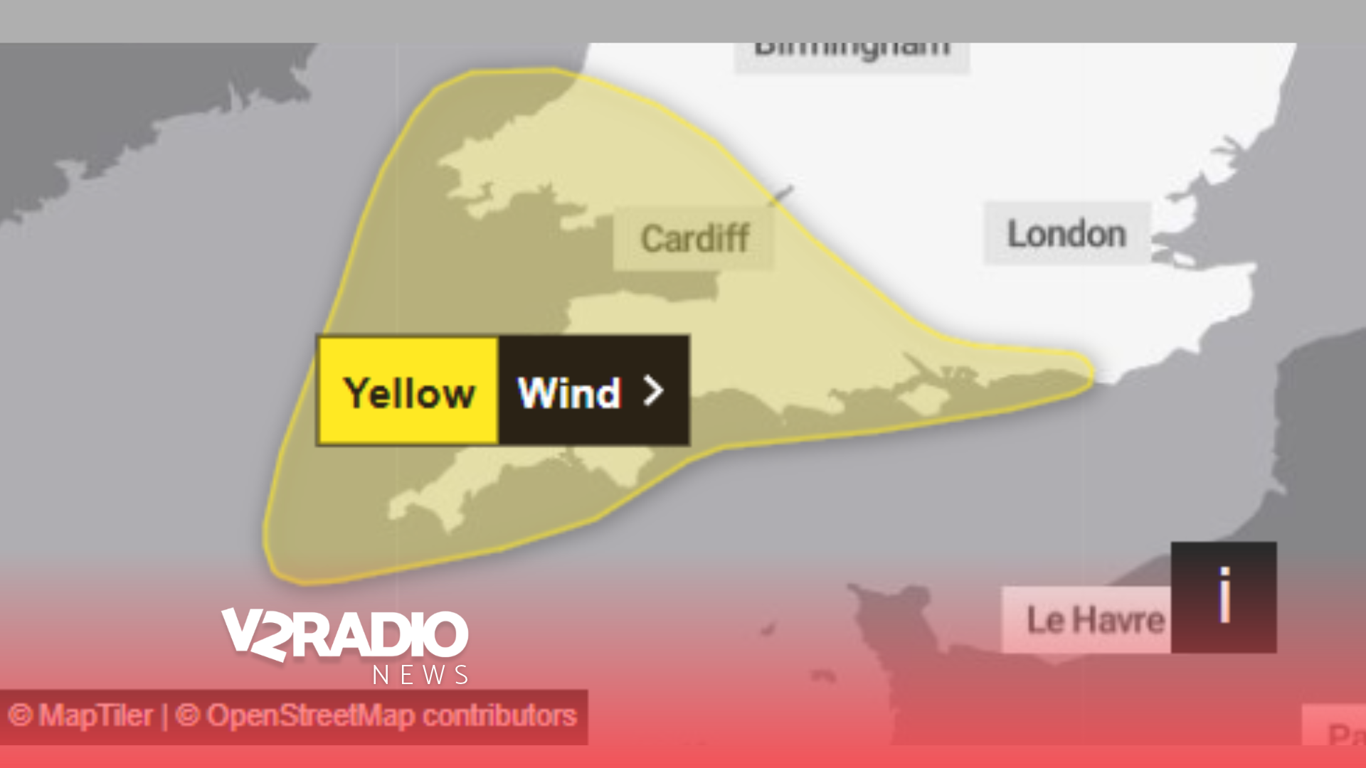 Met Office issues yellow wind warning for Sussex, Hampshire and Isle of Wight with gusts potentially exceeding 70mph
Wednesday, 21 October 2026 07:00 Residents across Sussex, Hampshire and the Isle of Wight are being warned to prepare for potentially damaging winds on Friday (23 October), with gusts possibly exceeding 70mph in some…
-
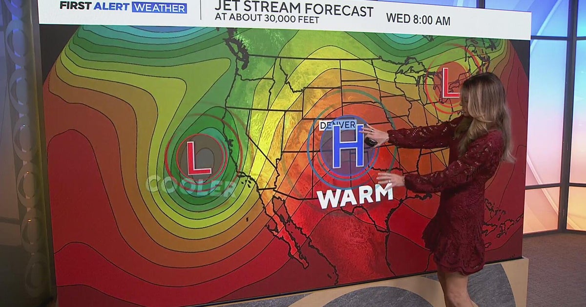 Staying warm and mild for the Denver metro with more mountain rain expected
CBS News Staying warm and mild for the Denver metro with more mountain rain expected Heavy rain, flash flooding expected in southwestern Colorado Colorado Department of Transportation trucks unveiled to protect…
-
 Second named storm could follow Austen in just 48 hours - where it might strike
A second named storm could the UK within 48 hours of Storm Austen(Image: PA) Brits could be hit by two ferocious storms within 48 hours of each other as the Met Office gives a danger to life warning for Friday. Heavy…
-
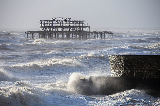 Storm Austen set to lash south coast
Stormy seas in February 2014 by David Pearson on Flickr A weather warning for strong wind has been issued by the Met Office ahead of the arrival of the first named storm of the season. Storm Austen is forecast to bring…
-
 Storm Austen set to batter Sussex coast this week
A storm set to batter parts of the Sussex coast later this week has been named. Storm Austen is forecast to bring gusts of 50-60mph to southern areas of the UK at the end of the week, with 70mph possible along exposed…
-
 First named storm of season to batter UK with strong winds
Storm Austen, the first named storm of the season, is to bring strong winds to parts of the UK. The storm is forecast to bring gusts of 50-60mph to southern areas of the UK at the end of the week, with 70mph possible…
- How forecasters track rapid Atlantic cyclogenesis before a major blow — and why coastal gusts reach 70mph
Peak gusts in excess of 70mph are possible on the most exposed coastal areas, while 50-60mph are likely more widely within the warning area. Weather warnings are under constant review and could be updated as confidence…
-
 UK weather: First named storm of the season to hit Britain in just days
Britain is set to be battered by the season's first named storm, with Storm Austen to bring winds up to 70mph and potentially disruptive weather in just days. The Met Office has issued a yellow weather warning for wind…
-
 Storm Austen named as Met Office gives verdict on it reaching London
The first named storm of the season has been announced by the Met Office, with Storm Austen forecast to brin London could face heavy rain and strong winds from Thursday evening into Friday as Storm Austen approaches the…
-
 UK snow forecast as maps show areas set to be covered on Sunday
Parts of the UK could be covered in snow as a period of wintry weather sets in, including high winds and a drop in temperature. A large area of central Scotland is forecast to turn white over the weekend, with…
Sun & moon
Nearby
- Sutton 58 km
- Crawley 32 km
- Worthing 17 km
- Eastbourne 31 km
- Hastings 51 km
- Hove 2 km
- Purley 57 km
- Guildford 55 km
- Royal Tunbridge Wells 44 km
- Bognor Regis 38 km
- Littlehampton 28 km
- South Croydon 59 km
Forecasts, observations and alerts in the United States come from the National Weather Service (NOAA); radar from NOAA's Multi-Radar Multi-Sensor system; satellite imagery from NASA's Global Imagery Browse Services (GIBS) and NOAA's GOES satellites; the map from the U.S. Geological Survey's National Map; air quality from AirNow (EPA and its partners); hurricane information from the National Hurricane Center; climate normals and records from NOAA's Regional Climate Centers (ACIS). Forecasts outside the United States and the UV index: MET Norway (CC BY 4.0); observations outside the U.S.: airport reports via NOAA's Aviation Weather Center. Place names: GeoNames (CC BY 4.0). Data are copied on a schedule and may lag the sources; for warnings that affect your safety, follow your local National Weather Service office and emergency officials. Weather news is drawn from the 4Search index and reflects what the press published. Terms of use.