Install
Talence, New Aquitaine, France Weather
Current conditions
Observed at Bordeaux/Mérignac Arpt · 21 min ago
Forecast
10-day-
Wednesday
Heavy rain. High 16°. Precipitation 8.8 mm for the day.
-
Wednesday Night
Heavy rain. Low 11°. Precipitation 8.8 mm for the day.
-
Thursday
Cloudy. High 17°.
MET Norway forecast updated 16 hrs ago.
Hourly
Hourly forecast- Now13°1.4
- 07:0013°0.7
- 08:0013°0.2
- 09:0012°
- 10:0013°0.5
- 11:0013°0.6
- 12:0014°0.3
- 13:0014°0.3
- 14:0016°0.2
- 15:0015°
- 16:0016°
- 17:0016°
- 18:0015°
- 19:0013°
- 20:0012°
- 21:0012°
- 22:0011°
- 23:0011°
- Thu00:0011°
- 01:0011°
- 02:0010°
- 03:0011°
- 04:0010°
- 05:0011°
Daily forecast
DetailsRadar
Full mapWeather news near Talence
More weather news-
 Mild, sunny weather expected for Cheyenne area this weekend; wind warnings issued for regional corridors
Cap City News Over 1 million readers this year! CHEYENNE, Wyo. — Dry, mild weather and sunny skies are set to dominate Cheyenne this weekend, as an upper-level high-pressure ridge builds across southeastern Wyoming…
-
 Enjoying Autumn Foliage and Reading Under Warm Weather... Heavy Rain Expected Nationwide Tomorrow
Next, we have another story. With the warm weather, it was a day filled with citizens heading outdoors to enjoy the autumn atmosphere. However, the weather is set to change again tomorrow (October 18). Rain accompanied…
-
 Weekend Weather: Heat wave, cold front bring extreme conditions
Here's a summary of the weather forecast for 17-18 October by Vox Weather. 🥵 A TALE OF TWO WEATHER EXTREMES across Here's a summary of the weather forecast for 17-18 October by Vox Weather 𥵠A TALE OF TWO WEATHER…
-
 Sunday Brunch — Park of Perpetual Potential
Lagniappe Daily Hurricane Isaias' path as forecast by Google DeepMind FNV3 on Wednesday, Oct. 7 (Courtesy of James Spann). Brookley by the Bay will offer waterfront access to Mobile's citizens. People have always had a…
-
 Weekend weather: Overnight temperatures drop to 30 degrees in Hopkinsville, frost expected
Christian County forecast: Much cooler weather will come through this weekend with frost expected overnight. CHRISTIAN COUNTY, KY (CHRISTIAN COUNTY NOW) – Cool, breezy conditions are expected Friday, with mostly cloudy…
-
 High wind watch issued for southeast Wyoming after freeze today
CHEYENNE, Wyo. — A high wind watch takes effect Saturday morning for wind-prone areas of southeast Wyoming as meteorologists expect wind gusts reaching 60 mph. The National Weather Service in Cheyenne issued the watch…
-
 Warmth Holds Through Friday, Then Sharp Cooldown for the Weekend
ALBANY, Ga. (WALB) — The First Alert Weather Team is tracking a tale of two forecasts for SGA the next 7 days. Enjoy above-normal temperatures in the mid-80s to 90 through Friday, then prepare for a dramatic cold front…
-
 How a super El Niño could affect the Texas coast this winter
Meteorologists with NOAA are predicting a very strong chance that a super El Niño could develop this winter, which could potentially bring higher amounts of precipitation and colder than average temperatures. This…
-
 Tracking Unseasonably Warm Temps Through Friday, Then Sharp Cooldown This Weekend
ALBANY, Ga. (WALB) — First Alert Weather Team is tracking a tale of two forecasts for SGA this week. Enjoy unseasonably warm highs in the mid-upper 80s near 90 through Friday, then prepare for a dramatic cold front…
-
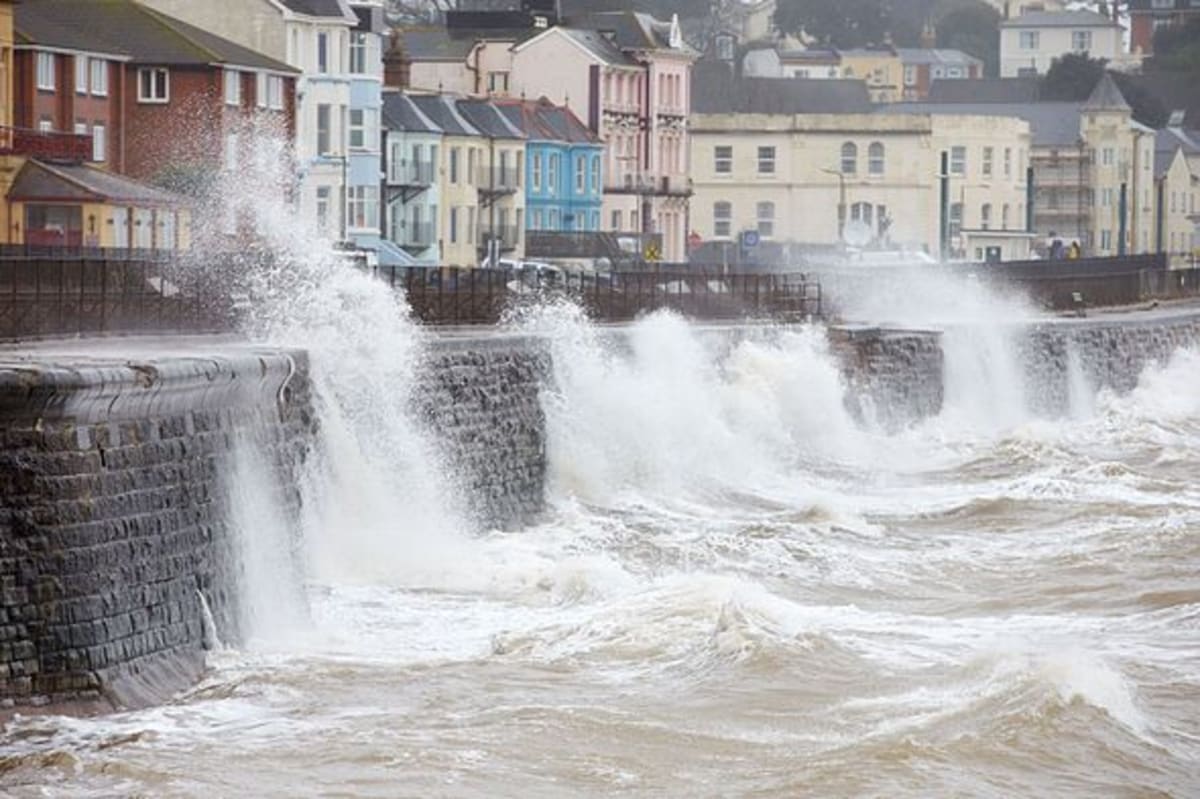 Met Office urges households to gather 2 items at home on Wednesday
With wind gusts forecast to reach 60-70 mph, the Met Office is urging Brits in affected areas to gather two household items ahead of the severe weather. Under the forecaster's advice in preparing for a storm the Met…
Sun & moon
Nearby
- Bordeaux 4 km
- Mérignac 6 km
- Pessac 3 km
- Villenave-d'Ornon 4 km
- Saint-Médard-en-Jalles 14 km
- La Teste-de-Buch 48 km
- Gradignan 4 km
- Libourne 30 km
- Le Bouscat 6 km
- Bègles 3 km
- Lormont 9 km
- Cenon 7 km
Forecasts, observations and alerts in the United States come from the National Weather Service (NOAA); radar from NOAA's Multi-Radar Multi-Sensor system; satellite imagery from NASA's Global Imagery Browse Services (GIBS) and NOAA's GOES satellites; the map from the U.S. Geological Survey's National Map; air quality from AirNow (EPA and its partners); hurricane information from the National Hurricane Center; climate normals and records from NOAA's Regional Climate Centers (ACIS). Forecasts outside the United States and the UV index: MET Norway (CC BY 4.0); observations outside the U.S.: airport reports via NOAA's Aviation Weather Center. Place names: GeoNames (CC BY 4.0). Data are copied on a schedule and may lag the sources; for warnings that affect your safety, follow your local National Weather Service office and emergency officials. Weather news is drawn from the 4Search index and reflects what the press published. Terms of use.