Install
Décines-Charpieu, Auvergne-Rhône-Alpes, France Weather
Current conditions
Observed at Lyon/Bron Arpt · 21 min ago
Forecast
10-day-
Friday
Heavy showers. High 15°. Precipitation 2.7 mm for the day.
-
Friday Night
Light showers. Low 8°. Precipitation 2.7 mm for the day.
-
Saturday
Showers. High 12°. Precipitation 4.0 mm for the day.
MET Norway forecast updated 1 hr ago.
Hourly
Hourly forecast- Now15°0.5
- 15:0014°1.5
- 16:0013°0.2
- 17:0014°
- 18:0013°
- 19:0011°
- 20:0010°0.2
- 21:009°
- 22:008°0.2
- 23:008°
- Sat00:008°
- 01:007°
- 02:007°
- 03:007°
- 04:006°
- 05:007°0.6
- 06:006°0.6
- 07:006°0.8
- 08:006°
- 09:006°
- 10:007°
- 11:009°
- 12:0010°
- 13:0012°
10-day forecast
DetailsRadar
Full mapWeather news near Décines-Charpieu
More weather news- Special Weather Statement issued October 22 at 6:15PM MDT by NWS Pueblo CO
Special Weather Statement: Pueblo Vicinity/Pueblo County Below 6300 Feet, Trinidad Vicinity/Western Las Animas County Below 7500 Ft, Crowley County and 4 more areas until Oct 23 at 12:49 AM The post Special Weather…
-
 Canada issued new travel advisories for 7 popular vacation spots, including Japan and Mexico
Typhoons, hurricanes, protests and disease outbreaks have all led to new warnings. Global Affairs Canada updates its travel advice constantly. As nights get longer and temperatures plummet, plenty of Canadians are…
-
 Storm Austen prompts Met Office yellow wind alert
Storm Austen, the first named storm of the 2026–27 season, is forecast to bring disruptive winds, heavy rain and travel disruption across southern UK and Ireland. Storm Austen has been named by the Met Office as a…
-
 Dry week ahead with temperatures warming
Temperatures will continue to climb throughout this week! SIOUX CITY (KTIV) - Temperatures Sunday were comfortable in the lower 70s degrees with lots of sunshine. It was still a little breezy at times, but winds will…
-
 Video. Weather Europe Today (2026/10/18)
Euronews.com Video. Weather Europe Today (2026/10/18) Get the latest weather forecast from Euronews, covering conditions across Europe and around the world. Our regular weather update walks you through temperatures…
-
 Hyperlocal elevation snow accumulation forecast Friday night into Saturday
BURLINGTON, Vt. (WCAX) - Today’s strong blustery winds and rainfall have tapered a bit and that is due to the passage of a strong cold front. This will be our first significant autumn cold front that brings more…
-
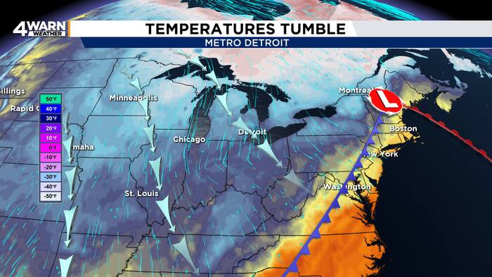 From wind and rain to frost and sunshine in Metro Detroit this weekend
4Warn Weather – Metro Detroit is getting a sharp reminder Friday that fall is firmly in control, but the payoff arrives just in time for a busy weekend filled with football and the Detroit Free Press Marathon. Southeast…
- France issues orange alert in 15 departments ahead of Storm Austen
The warning covers parts of western and northern France, with winds forecast to reach 140 kilometres per hour. Heavy rain is also expected in Brittany and Normandy. France issued an orange alert on Thursday for 15…
-
 Storm Austen to batter northern France with winds of up to 140km/h
Trains have been cancelled across three northern regions and heightened alerts implemented The first major storm of autumn will bring powerful winds of well over 100 km/h to France’s northern coastline and winds of…
-
 Amber warning in place as Storm Austen hits parts of UK
An amber weather warning has come into force in parts of the UK as Storm Austen brings a swathe of powerful winds and heavy rain on Friday. South West England is forecast to be worst hit by the storm which the Met…
Sun & moon
Nearby
- Lyon 9 km
- Saint-Étienne 58 km
- Villeurbanne 6 km
- Vénissieux 10 km
- Bourg-en-Bresse 53 km
- Caluire-et-Cuire 9 km
- Saint-Priest 8 km
- Saint-Chamond 48 km
- Bron 5 km
- Vaulx-en-Velin 3 km
- Villefranche-sur-Saône 31 km
- Vienne 28 km
Forecasts, observations and alerts in the United States come from the National Weather Service (NOAA); radar from NOAA's Multi-Radar Multi-Sensor system; satellite imagery from NASA's Global Imagery Browse Services (GIBS) and NOAA's GOES satellites; the map from the U.S. Geological Survey's National Map; air quality from AirNow (EPA and its partners); hurricane information from the National Hurricane Center; climate normals and records from NOAA's Regional Climate Centers (ACIS). Forecasts outside the United States and the UV index: MET Norway (CC BY 4.0); observations outside the U.S.: airport reports via NOAA's Aviation Weather Center. Place names: GeoNames (CC BY 4.0). Data are copied on a schedule and may lag the sources; for warnings that affect your safety, follow your local National Weather Service office and emergency officials. Weather news is drawn from the 4Search index and reflects what the press published. Terms of use.