Install
Albert, Hauts-de-France, France Weather
Current conditions
Forecast for this hour (no station report in the last two hours)
Forecast
10-day-
Tuesday
Light rain. High 14°. Precipitation 0.2 mm for the day.
-
Tuesday Night
Cloudy. Low 11°. Precipitation 0.2 mm for the day.
-
Wednesday
Rain. High 14°. Precipitation 1.4 mm for the day.
MET Norway forecast updated 6 hrs ago.
Hourly
Hourly forecast- Now13°
- 22:0012°
- 23:0011°
- Wed00:0010°
- 01:009°
- 02:008°
- 03:008°
- 04:007°
- 05:008°
- 06:008°
- 07:009°0.7
- 08:009°
- 09:009°
- 10:0010°
- 11:0011°
- 12:0011°
- 13:0012°
- 14:0013°
- 15:0014°
- 16:0013°
- 17:0013°
- 18:0011°
- 19:0010°
- 20:009°
10-day forecast
DetailsRadar
Full mapWeather news near Albert
More weather news- Millions warned to expect months’ worth of rain in just a few days
Updated October 19, 2026 - 9.51pm. First published at 9.41pm South-east Queensland is preparing for a wild week of storms, with some areas expected to receive more than two months’ worth of rain by the weekend. Today…
- Environment Canada warns of 100 km/h wind gusts
Yellow wind warning issued for Edmonton, St. Albert and Sherwood Park As of early Saturday afternoon, windows were rattling downtown and the whistling of the wind was rock-concert loud. Just after 1 p.m., Environment…
-
 Dangerous Freeze Warnings Issued for Iowa, Wisconsin, Minnesota and Illinois as Temperatures Drop
Freeze Warnings take effect early Saturday across much of Iowa, Wisconsin, southeast and central Minnesota and northern Illinois, with lows as cold as 26 degrees expected. Seven National Weather Service offices issued…
-
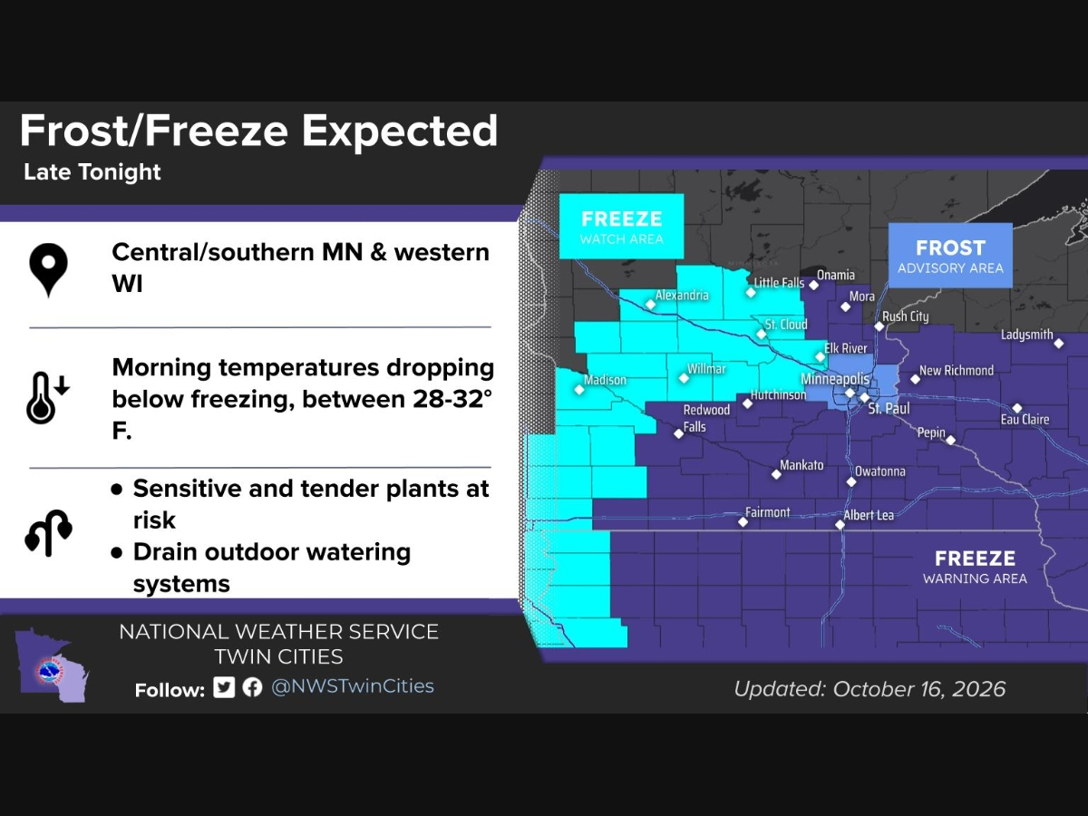 Frost Advisory, Freeze Warning Issued For Parts Of MN: See Map
MINNEAPOLIS, MN — Frost and freezing temperatures are expected across much of Minnesota and western Wisconsin late Friday night into Saturday morning, according to the National Weather Service. A Frost Advisory is in…
-
 Trudy strengthens to a hurricane as system nears Mexico’s coast with major storm expected
Trudy has intensified into a Category 1 hurricane as it approaches the Pacific coast of Mexico. Trudy was located about 300 miles (480 kilometers) southwest of Acapulco, Mexico, with maximum sustained winds of 75 mph…
- Freeze watch issued in Twin Cities, southern half of Minnesota with temps set to plunge
The first freeze watch of the season has been issued for the Twin Cities, with overnight temperatures set to plunge in the coming days. The watch has been put into effect for much of the southern half of Minnesota from…
- A brief cool down, then a long spell of warm weather
KTTC ROCHESTER, Minn. (KTTC) – Fall can bring a broad range of weather conditions to our region. This month has been no exception. After three days of mid-summer heat with record-high temperatures in the mid-80s, we’re…
-
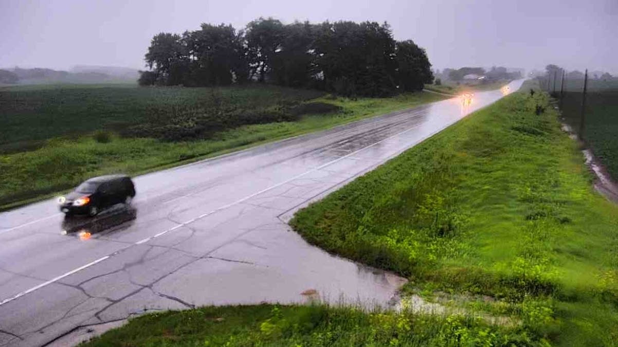 Weather whiplash: Temperature swings, periods of rainy then dry conditions over next week
High pressure over Minnesota Wednesday will slowly give way to a cut-off area of low pressure currently over the Four Corners region that will interact with an upper level trough moving in from the Canadian Prairies to…
-
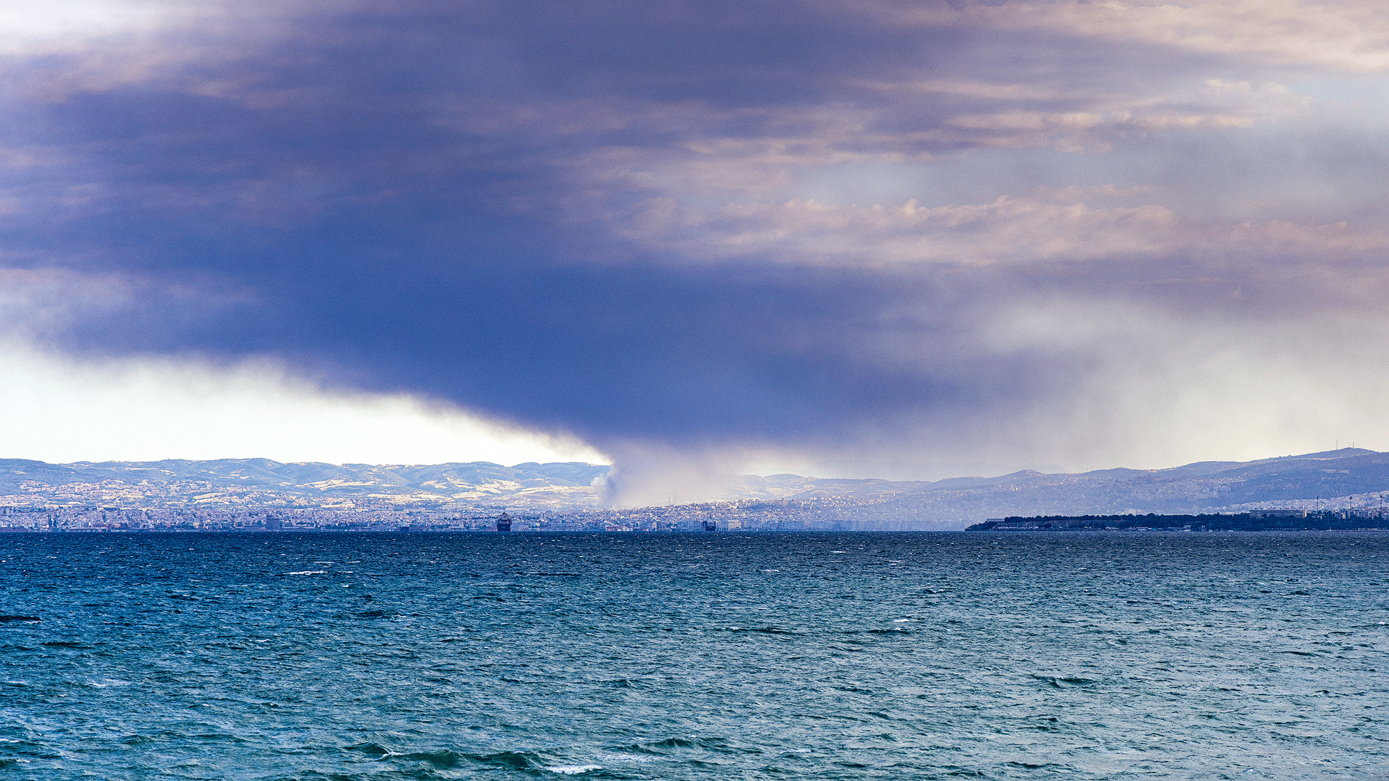 ‘The El Niño phase typically lasts nine to 18 months’ – How it affects sailors
This year’s global weather is being dominated by a ‘Super El NiÑo’ – but how will it affect sailors? Dr Elizabeth Alberts reports In June, scientists at the UK Met Office announced that the world had officially entered…
-
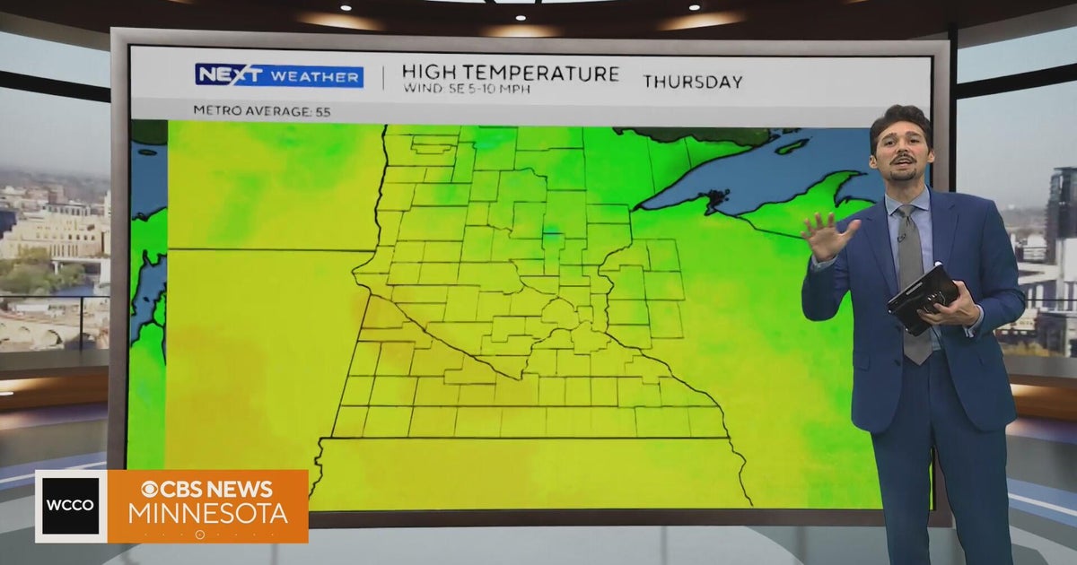 Minnesota weather stays unusually warm, with highs 15 to 20 degrees above normal | Oct. 20, 2026
CBS News Minnesota weather stays unusually warm, with highs 15 to 20 degrees above normal | Oct. 20, 2026 Preview: Golf 101 at Park 365 in Roseville Twin Cities man, 18, accused in MOA terror plot, and more headlines…
Sun & moon
Nearby
- Amiens 28 km
- Saint-Quentin 49 km
- Arras 34 km
- Douai 51 km
- Lens 50 km
- Cambrai 46 km
- Liévin 47 km
- Béthune 59 km
- Abbeville 59 km
- Hénin-Beaumont 51 km
- Bruay-la-Buissière 54 km
- Carvin 59 km
Forecasts, observations and alerts in the United States come from the National Weather Service (NOAA); radar from NOAA's Multi-Radar Multi-Sensor system; satellite imagery from NASA's Global Imagery Browse Services (GIBS) and NOAA's GOES satellites; the map from the U.S. Geological Survey's National Map; air quality from AirNow (EPA and its partners); hurricane information from the National Hurricane Center; climate normals and records from NOAA's Regional Climate Centers (ACIS). Forecasts outside the United States and the UV index: MET Norway (CC BY 4.0); observations outside the U.S.: airport reports via NOAA's Aviation Weather Center. Place names: GeoNames (CC BY 4.0). Data are copied on a schedule and may lag the sources; for warnings that affect your safety, follow your local National Weather Service office and emergency officials. Weather news is drawn from the 4Search index and reflects what the press published. Terms of use.