Install
Tacoronte, Canary Islands, Spain Weather
Current conditions
Forecast for this hour (no station report in the last two hours)
Forecast
10-day-
Thursday
Showers. High 23°. Precipitation 1.0 mm for the day.
-
Thursday Night
Light showers. Low 17°. Precipitation 1.0 mm for the day.
-
Friday
Light showers. High 23°. Precipitation 0.6 mm for the day.
MET Norway forecast updated 18 hrs ago.
Hourly
Hourly forecast- Now22°
- 13:0023°
- 14:0023°0.3
- 15:0022°0.2
- 16:0022°0.2
- 17:0021°0.2
- 18:0021°
- 19:0020°
- 20:0019°
- 21:0019°
- 22:0019°
- 23:0019°
- Fri00:0018°
- 01:0018°
- 02:0018°
- 03:0018°
- 04:0018°
- 05:0018°
- 06:0018°
- 07:0018°
- 08:0018°
- 09:0018°
- 10:0020°
- 11:0021°
Daily forecast
DetailsRadar
Full mapWeather news near Tacoronte
More weather news-
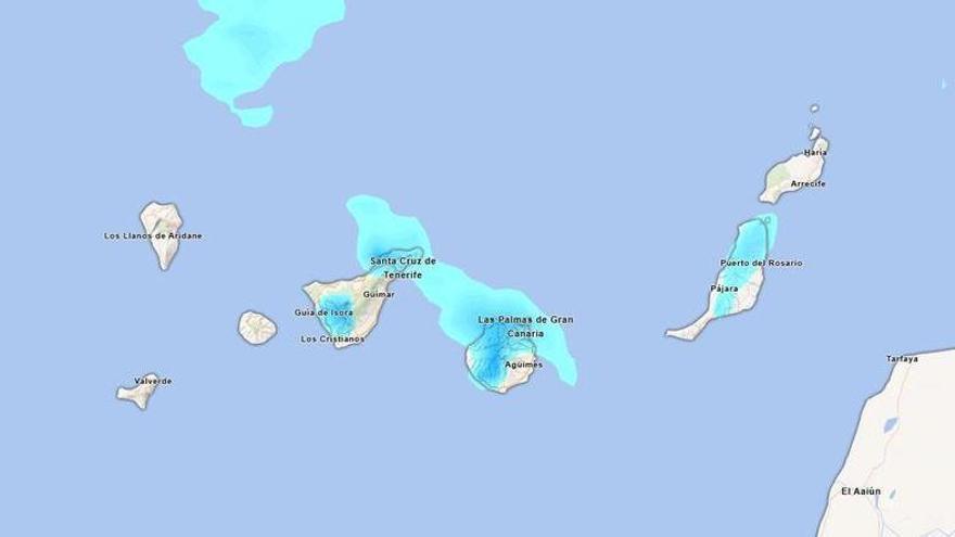 Will it rain this Sunday in Tenerife? Aemet forecasts persistent afternoon rainfall.
Tenerife is set to experience a cloudy day on Sunday, with occasional light rain expected. According to the State Meteorological Agency (Aemet), the weather may shift in the afternoon, particularly in the northern…
-
 Aemet announces the return of calima to the Canary Islands: areas affected
Calima will return to the Canary Islands this Thursday, 15 October, accompanied by a rise in temperatures that will be most noticeable in inland and mid-altitude areas, according to the State Meteorological Agency…
-
 Aemet Forecasts Light Showers and Rising Temperatures in Tenerife This Wednesday
Cloudy skies are expected across northern Tenerife on Wednesday, with light and occasional rain likely during the early hours. The State Meteorological Agency (Aemet) forecasts that low cloud coverage will gradually…
-
 Tenerife Anticipates a Cloudy Wednesday with Possible Rain and Rising Temperatures
In other areas of the island, high cloud will feature, while the northeast may see more cloud cover later in the day. Rainfall will be limited, mainly affecting northern regions in the morning. Temperatures are expected…
-
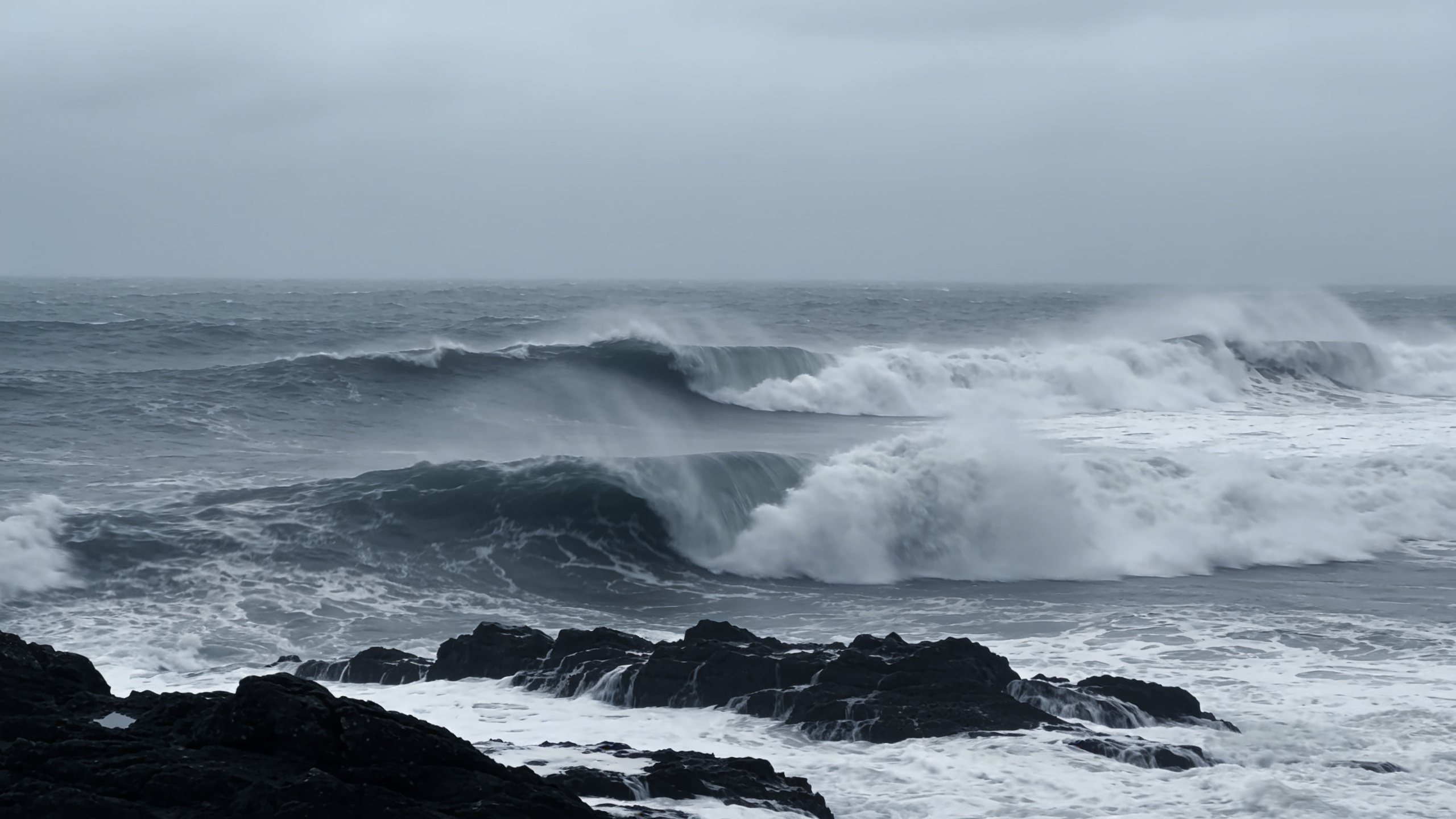 Polar jet may drive 100 km/h winds across northern Spain
A rapidly deepening low could bring gusts above 100 km/h to Galicia and the Cantabrian coast between Thursday and Friday. Waves may reach 10 metres as temperatures fall. The cold will be most noticeable overnight and in…
-
 Why Spain turns the clocks back in October
When the clocks go back next Sunday, Spain ends daylight saving time and returns to standard time. The change takes place on 25 October: at 3am on the mainland and Balearic Islands, when clocks move back to 2am. In the…
- El Niño could reach record intensity, UN weather agency warns
The El Niño weather phenomenon could reach unprecedented intensity, with sea temperatures in the tropical Pacific potentially rising to record levels, the World Meteorological Organization (WMO) said on Wednesday. Sea…
-
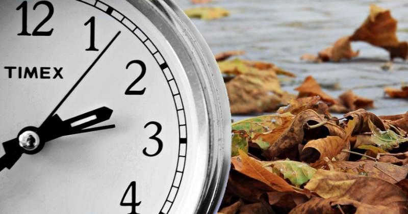 Clocks go back on 25 October, giving Spain an extra hour of sleep
The change is set out in the Official State Gazette (BOE), which confirms 25 October as the official end date for this year’s summer time period, happening “at three in the morning (two in the morning in the Canary…
-
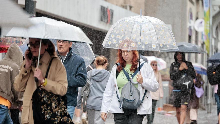 Weather Warning for Heavy Rain Across the Canary Islands: Severe Showers and Storms Expected on Wednesday
Unsettled weather will continue to impact various parts of the Canary Islands on Wednesday, with locally heavy rain and potential storms expected throughout the day. Morning storms were reported in northern…
-
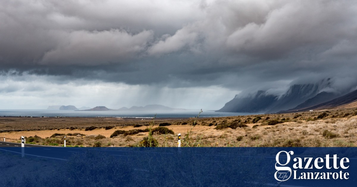 Rain and possible storms arrive on Lanzarote as AEMET issues yellow warning - Gazette Life
Spain’s weather agency, AEMET, has issued a yellow warning for rain that will remain in effect until 6pm this evening. Rainfall of 15 mms per hour is forecast, with the possibility of showers and stormy conditions. The…
Sun & moon
Nearby
- Santa Cruz de Tenerife 15 km
- La Laguna 9 km
- Arona 50 km
- Adeje 50 km
- La Orotava 15 km
- Granadilla de Abona 43 km
- Los Realejos 20 km
- Realejo Alto 20 km
- Puerto de la Cruz 15 km
- Candelaria 14 km
- Icod de los Vinos 32 km
- Guía de Isora 47 km
Forecasts, observations and alerts in the United States come from the National Weather Service (NOAA); radar from NOAA's Multi-Radar Multi-Sensor system; satellite imagery from NASA's Global Imagery Browse Services (GIBS) and NOAA's GOES satellites; the map from the U.S. Geological Survey's National Map; air quality from AirNow (EPA and its partners); hurricane information from the National Hurricane Center; climate normals and records from NOAA's Regional Climate Centers (ACIS). Forecasts outside the United States and the UV index: MET Norway (CC BY 4.0); observations outside the U.S.: airport reports via NOAA's Aviation Weather Center. Place names: GeoNames (CC BY 4.0). Data are copied on a schedule and may lag the sources; for warnings that affect your safety, follow your local National Weather Service office and emergency officials. Weather news is drawn from the 4Search index and reflects what the press published. Terms of use.