Install
Sóller, Balearic Islands, Spain Weather
Current conditions
Forecast for this hour (no station report in the last two hours)
Forecast
10-day-
Tuesday
Rain. High 20°. Precipitation 2.9 mm for the day.
-
Tuesday Night
Showers. Low 18°. Precipitation 2.9 mm for the day.
-
Wednesday
Mostly clear. High 21°.
MET Norway forecast updated 11 hrs ago.
Hourly
Hourly forecast- Now18°
- 23:0018°
- Wed00:0019°
- 01:0019°
- 02:0019°
- 03:0018°
- 04:0019°
- 05:0019°
- 06:0019°
- 07:0019°
- 08:0019°
- 09:0019°
- 10:0020°
- 11:0020°
- 12:0021°
- 13:0021°
- 14:0021°
- 15:0021°
- 16:0021°
- 17:0021°
- 18:0021°
- 19:0020°
- 20:0020°
- 21:0019°
Daily forecast
DetailsRadar
Full mapWeather news near Sóller
More weather news-
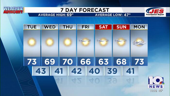 Southwest, Central Virginia Weather | 11 p.m. - Oct. 19, 2026
WSLS Southwest, Central Virginia Weather | 11 p.m. - Oct. 19, 2026 Here is a look at your Monday night forecast. Raleigh Court Library Zine Club Helps Teens Get Creative Longtime Q99 morning host David Page announces…
-
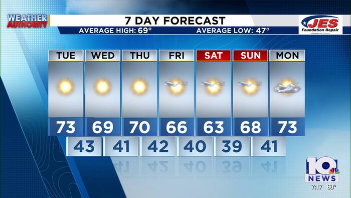 Southwest, Central Virginia Weather | 7 p.m. - Oct. 19, 2026
WSLS Southwest, Central Virginia Weather | 7 p.m. - Oct. 19, 2026 Here's a look at your forecast! Raleigh Court Library Zine Club Helps Teens Get Creative Longtime Q99 morning host David Page announces retirement after…
-
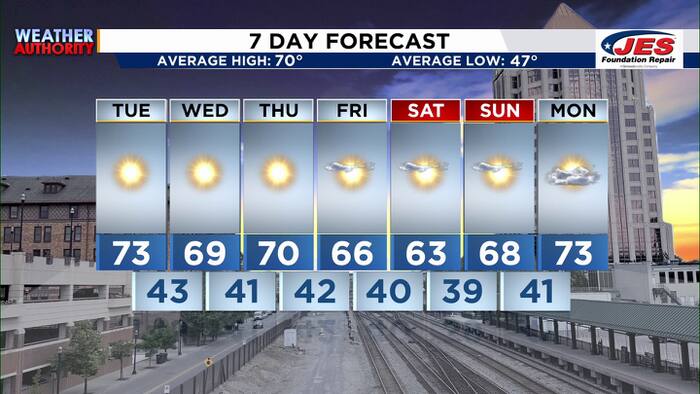 Southwest, Central Virginia Weather | 5 p.m. - Oct. 19, 2026
WSLS Southwest, Central Virginia Weather | 5 p.m. - Oct. 19, 2026 Here's a look at your forecast! Raleigh Court Library Zine Club Helps Teens Get Creative Longtime Q99 morning host David Page announces retirement after…
-
 LatAm Expat & Nomad Daily Guide for Tuesday, October 20, 2026
LatAm Expat & Nomad Daily Guide — Tuesday, October 20, 2026 As of 12:30 a.m. US Eastern Time (ET) · 1:30 a.m. Brasília, Tuesday 20 October 2026 · storm bulletin to Monday night, rates to the latest published fixing…
-
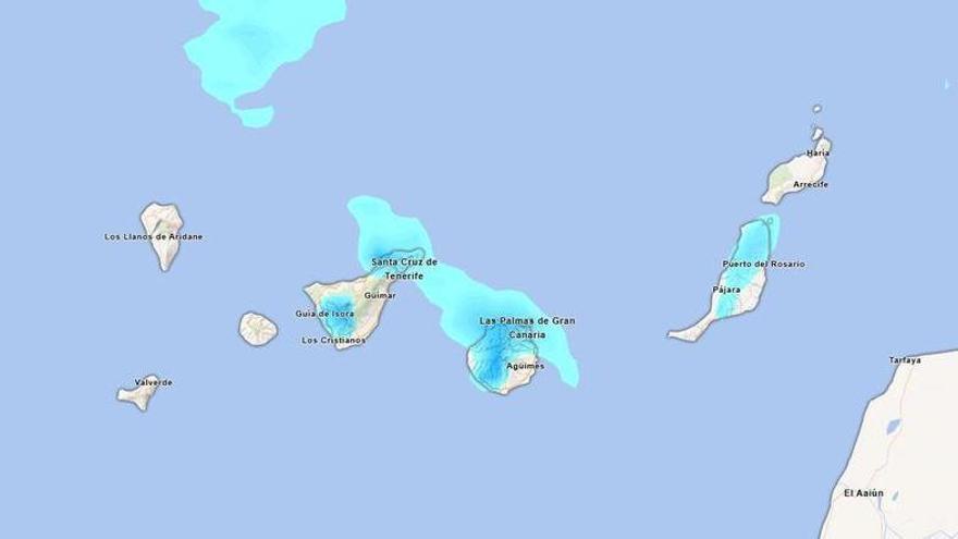 Will it rain this Sunday in Tenerife? Aemet forecasts persistent afternoon rainfall.
Tenerife is set to experience a cloudy day on Sunday, with occasional light rain expected. According to the State Meteorological Agency (Aemet), the weather may shift in the afternoon, particularly in the northern…
-
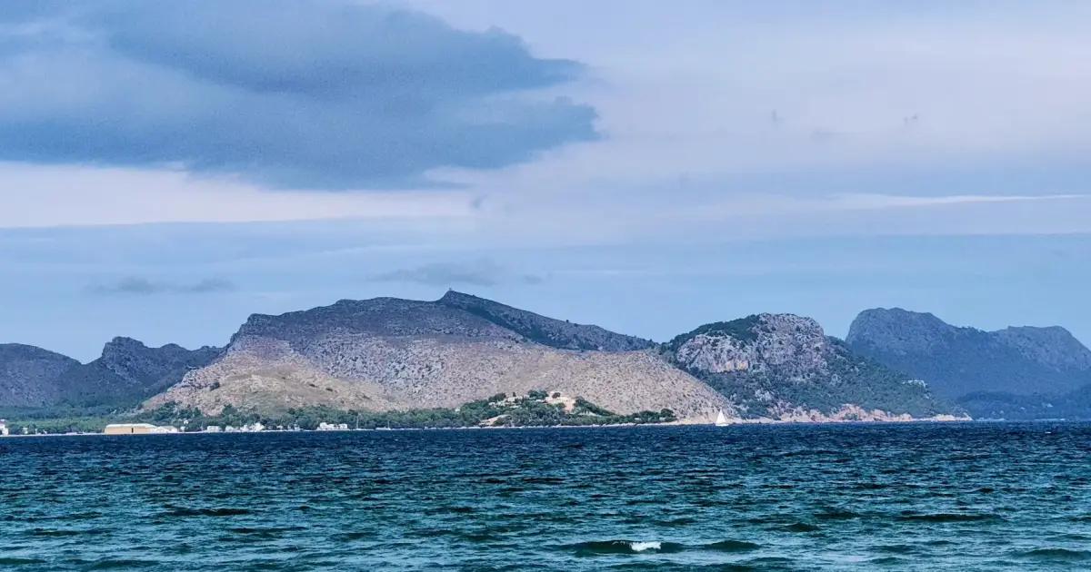 September was the warmest since at least 1961 but violent storms to hit Mallorca this weekend
Humphrey Carter | Palma | 2026-10-16 11:58 The average temperature on the Spanish mainland reached 22.5 °C, an anomaly of 3.4 °C above the reference period – which in this case spans from 1991 to 2020 – meaning that…
-
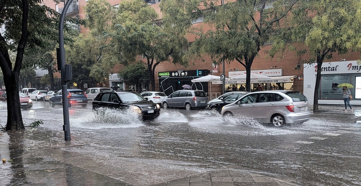 Spain on alert as heavy rain and storms threaten Mediterranean coast this weekend
Heavy rain and storms threaten Spain’s Mediterranean coast this weekend Credit : Pat Moore, Shutterstock Spain is preparing for a dramatic change in the weather this weekend, when heavy rains, storms and a sharp drop in…
-
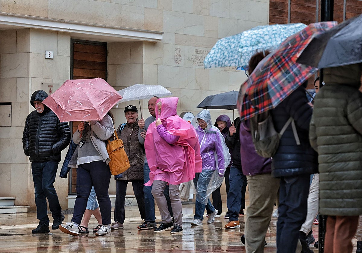 Heavy rain returns to Malaga province: days and areas most likely to be hit by the 'dana'
At the same time, a high-pressure system around the British Isles and the North Sea will facilitate the influx of a mass of cold air, leading to a widespread drop in temperatures. A moist air mass will settle over…
-
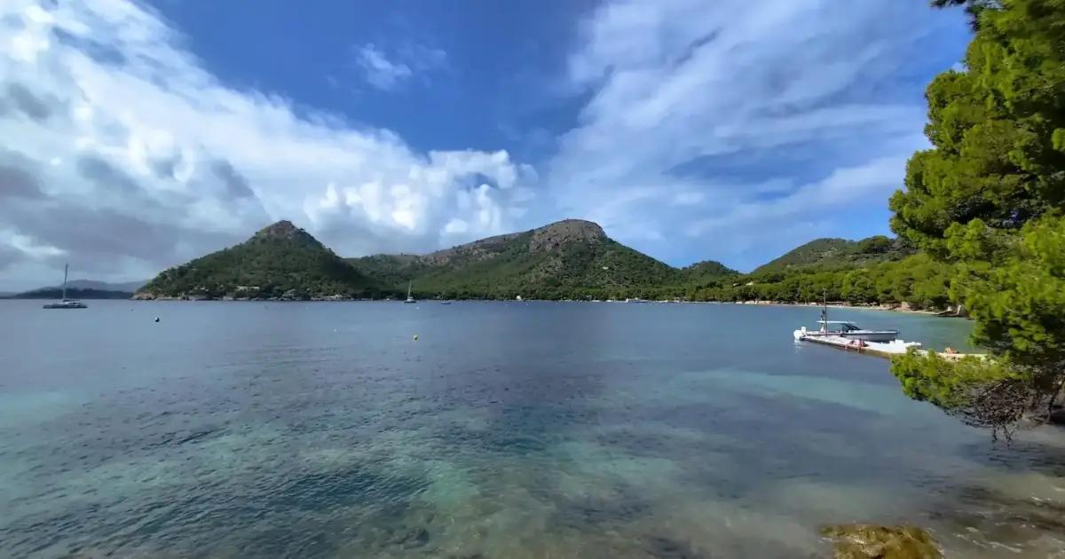 Mallorca weather for Friday, October 16 - Make the most of it; wild at the weekend
Majorca Daily Bulletin The met agency hasn't revised its forecast for the weekend, and so it continues to be for a "drastic" change in the weather, especially on Sunday, with rain - locally very heavy and persistent…
-
 Aemet announces the return of calima to the Canary Islands: areas affected
Calima will return to the Canary Islands this Thursday, 15 October, accompanied by a rise in temperatures that will be most noticeable in inland and mid-altitude areas, according to the State Meteorological Agency…
Sun & moon
Nearby
Forecasts, observations and alerts in the United States come from the National Weather Service (NOAA); radar from NOAA's Multi-Radar Multi-Sensor system; satellite imagery from NASA's Global Imagery Browse Services (GIBS) and NOAA's GOES satellites; the map from the U.S. Geological Survey's National Map; air quality from AirNow (EPA and its partners); hurricane information from the National Hurricane Center; climate normals and records from NOAA's Regional Climate Centers (ACIS). Forecasts outside the United States and the UV index: MET Norway (CC BY 4.0); observations outside the U.S.: airport reports via NOAA's Aviation Weather Center. Place names: GeoNames (CC BY 4.0). Data are copied on a schedule and may lag the sources; for warnings that affect your safety, follow your local National Weather Service office and emergency officials. Weather news is drawn from the 4Search index and reflects what the press published. Terms of use.