Install
Natahoyo, Asturias, Spain Weather
Current conditions
Observed at Aviles/Asturias Arpt · 1 hr ago
Forecast
10-day-
Friday
Cloudy. High 16°. Precipitation 2.9 mm for the day.
-
Friday Night
Rain. Low 12°. Precipitation 2.9 mm for the day.
-
Saturday
Partly cloudy. High 18°.
MET Norway forecast updated 1 day ago.
Hourly
Hourly forecast- Now12°
- 23:0012°
- Sat00:0011°
- 01:0010°
- 02:0010°
- 03:009°
- 04:009°
- 05:008°
- 06:008°
- 07:007°
- 08:007°
- 09:006°
- 10:009°
- 11:0013°
- 12:0015°
- 13:0017°
- 14:0017°
- 15:0018°
- 16:0018°
- 17:0017°
- 18:0016°
- 19:0015°
- 20:0014°
- 21:0013°
Daily forecast
DetailsRadar
Full mapWeather news near Natahoyo
More weather news-
 Warm weather continues across Central Florida before windy, wet weekend
WFTV Warm weather continues across Central Florida before windy, wet weekend Osceola County begins $36 million construction of Cross Prairie Parkway Connector America faces a growing blue-collar jobs crisis Study…
-
 Morning Forecast: Wednesday, October 14, 2026
WFTV Warm weather continues across Central Florida before windy, wet weekend Osceola County begins $36 million construction of Cross Prairie Parkway Connector America faces a growing blue-collar jobs crisis Study…
-
 Do the clocks change in Spain? Here’s what happens in Europe compared to the UK
BRITS flock to Spain every year for a well-deserved break. But with cross-Channel travel, it’s easy to get confused about exactly how time works on the Continent. As the UK prepares for the ritual of putting the clocks…
-
 Intense Rainfall Followed by Increased Heat in Tenerife: Aemet’s Forecast for This Friday
Heavy rains hit Tenerife on Thursday but are expected to ease on Friday. The unstable weather system affecting the western islands has moved away, with no active warnings now in place, according to the Spanish State…
- Special Weather Statement issued October 22 at 3:32PM MDT by NWS Pueblo CO
Special Weather Statement: Southern San Luis Valley, Southern Sangre De Cristo Mountains Between 7500 and 11000 Ft, Southern Sangre De Cristo Mountains Above 11000 Ft and 2 more areas until Oct 22 at 9:49 PM The post…
-
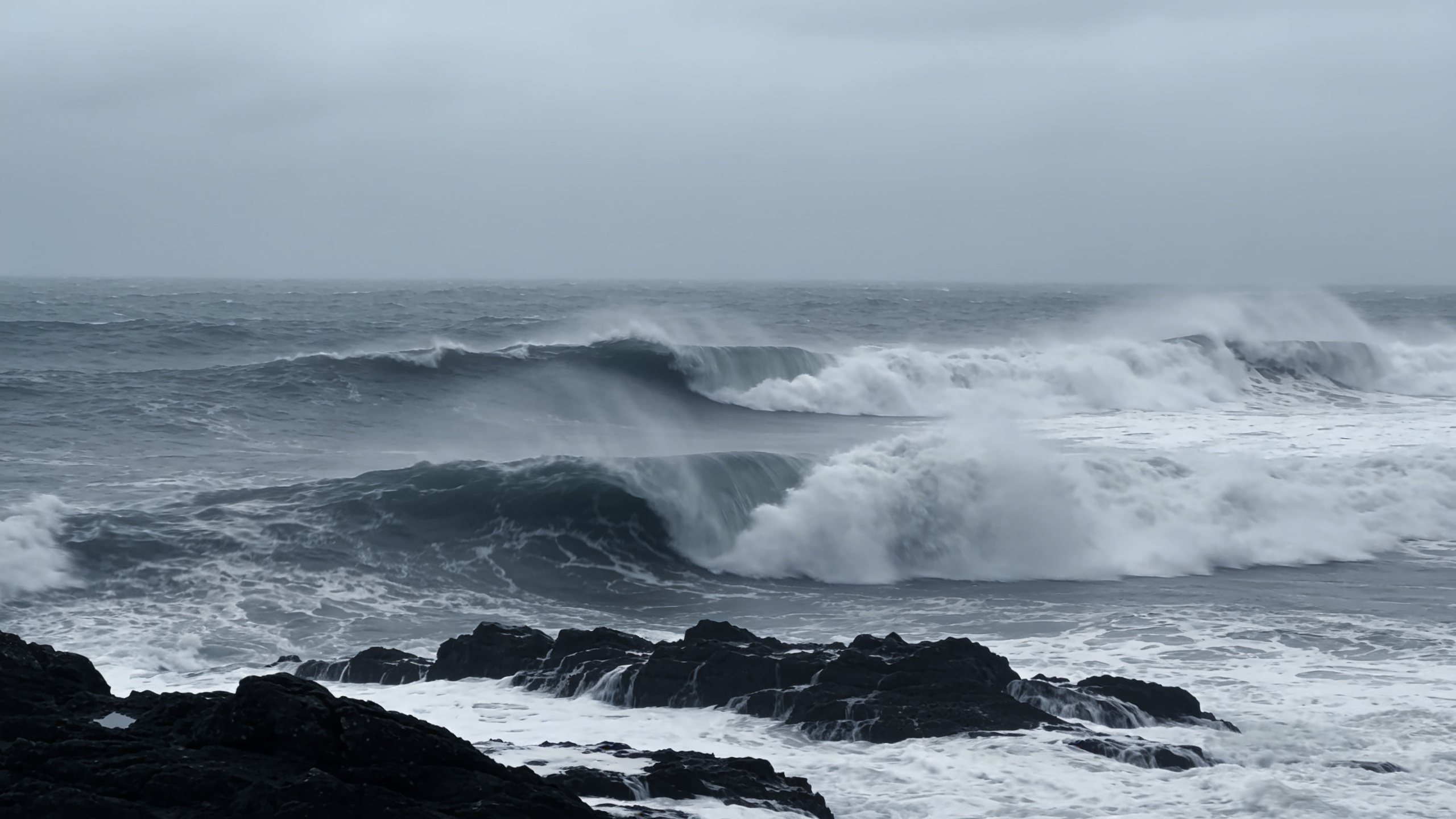 Polar jet may drive 100 km/h winds across northern Spain
A rapidly deepening low could bring gusts above 100 km/h to Galicia and the Cantabrian coast between Thursday and Friday. Waves may reach 10 metres as temperatures fall. The cold will be most noticeable overnight and in…
- El Niño could reach record intensity, UN weather agency warns
The El Niño weather phenomenon could reach unprecedented intensity, with sea temperatures in the tropical Pacific potentially rising to record levels, the World Meteorological Organization (WMO) said on Wednesday. Sea…
-
 Weather Warning for Heavy Rain Across the Canary Islands: Severe Showers and Storms Expected on Wednesday
Unsettled weather will continue to impact various parts of the Canary Islands on Wednesday, with locally heavy rain and potential storms expected throughout the day. Morning storms were reported in northern…
-
 Storm Adam triggers red alerts at Spanish holiday hotspots
Spain’s Mediterranean resorts face red-alert rain and coastal warnings from Storm Adam just days before UK families arrive for October half-term breaks. Key Spanish holiday resorts are facing severe weather alerts as…
-
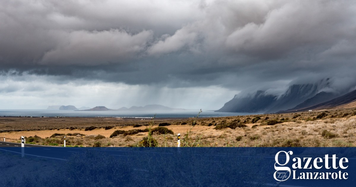 Rain and possible storms arrive on Lanzarote as AEMET issues yellow warning - Gazette Life
Spain’s weather agency, AEMET, has issued a yellow warning for rain that will remain in effect until 6pm this evening. Rainfall of 15 mms per hour is forecast, with the possibility of showers and stormy conditions. The…
Sun & moon
Nearby
- Gijón 2 km
- Oviedo 24 km
- Avilés 20 km
- Mieres 33 km
- Sama 27 km
- La Felguera 26 km
- Corvera de Asturias 17 km
- Villaviciosa 21 km
- Lugones 19 km
- Llanera 18 km
- Pola de Siero 17 km
- Pola de Lena 44 km
Forecasts, observations and alerts in the United States come from the National Weather Service (NOAA); radar from NOAA's Multi-Radar Multi-Sensor system; satellite imagery from NASA's Global Imagery Browse Services (GIBS) and NOAA's GOES satellites; the map from the U.S. Geological Survey's National Map; air quality from AirNow (EPA and its partners); hurricane information from the National Hurricane Center; climate normals and records from NOAA's Regional Climate Centers (ACIS). Forecasts outside the United States and the UV index: MET Norway (CC BY 4.0); observations outside the U.S.: airport reports via NOAA's Aviation Weather Center. Place names: GeoNames (CC BY 4.0). Data are copied on a schedule and may lag the sources; for warnings that affect your safety, follow your local National Weather Service office and emergency officials. Weather news is drawn from the 4Search index and reflects what the press published. Terms of use.