Install
Ain el Hadjel, M'Sila, Algeria Weather
Current conditions
Forecast for this hour (no station report in the last two hours)
Forecast
10-day-
Sunday
Fog. High 22°.
-
Sunday Night
Fog. Low 10°.
-
Monday
Partly cloudy. High 24°.
MET Norway forecast updated 1 day ago.
Hourly
Hourly forecast- Now18°
- 12:0019°
- 13:0021°
- 14:0021°
- 15:0022°
- 16:0022°
- 17:0021°
- 18:0019°
- 19:0018°
- 20:0017°
- 21:0016°
- 22:0015°
- 23:0014°
- Mon00:0013°
- 01:0012°
- 02:0011°
- 03:0011°
- 04:0010°
- 05:0010°
- 06:0010°
- 07:0010°
- 08:0011°
- 09:0013°
- 10:0017°
Daily forecast
DetailsRadar
Full mapWeather news in Algeria
More weather news-
 Locust Watch: Seasonal precipitation predictions in the Desert Locust summer/winter breeding areas (November 2026–April 2027) (21 October 2026)
Extremely strong El Niño conditions and a more positive Indian Ocean Dipole (IOD) favour we er conditions in eastern Africa, although the spring signal in Northwest Africa requires further confirmation. Dry conditions…
-
 More wet and windy weather to follow stormy weekend
Choppy seas and large waves crashing up onshore in Aberystwyth, Ceredigion Storm Boelo will continue to batter parts of the UK on Sunday but the fierce autumn weather shows no sign of clearing quickly. After two named…
-
 Storm Boelo: warnings in place in Scotland, Northern Ireland and north of England as high winds batter UK
Met Office reports gusts of 80mph in exposed coastal spots and advises people in affected areas to stay indoors Strong winds have battered Scotland, Northern Ireland and northern England overnight, as Storm Boelo hit…
-
 Rain on Halloween? L.A. could have its first wet Halloween in a decade
The reprieve from rain is expected to last just a few more days as forecasters warn of another storm system that could bring Los Angeles its first rainy Halloween since 2014. It’s still too far out to know the exact…
-
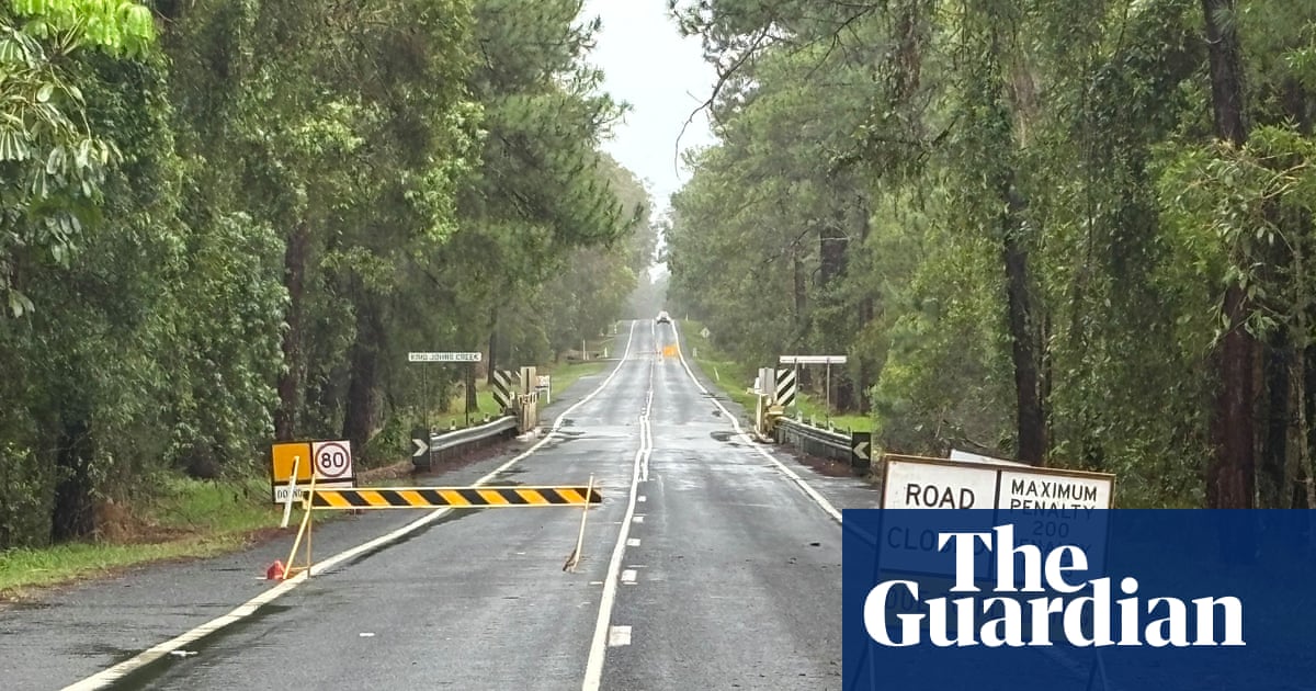 ‘Unusually large’ multi-state storm causing severe weather for Australia’s east – with more on the way
BoM predicts hail, damaging winds, flash flooding and power outages across southern Queensland, western NSW, the ACT and eastern Victoria on Sunday afternoon Large parts of eastern Australia were put on alert for severe…
-
 First Alert Weather: Freezing temps overnight for some parts of New York - 10/24/26
CBS News - The 5:33 | Legacy of the LIRR Massacre - On The Dot with David Schechter: Wildfires & Climate Change First Alert Weather: Freezing temps overnight for some parts of New York - 10/24/26 Trump, Obama make…
-
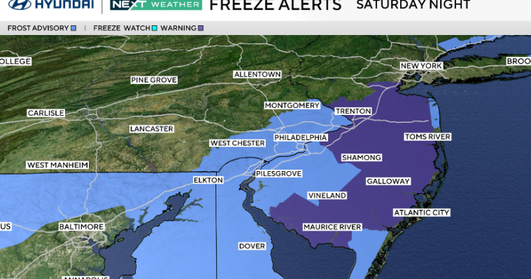 Frosty start to Sunday in Philadelphia region; fabulous fall weather for Eagles-Cowboys Monday
October 24, 2026 / 11:38 PM EDT / CBS Philadelphia Sunday will be a beautiful fall day in the Philadelphia region with plenty of sunshine, light winds and temperatures beginning to moderate after another frosty start…
-
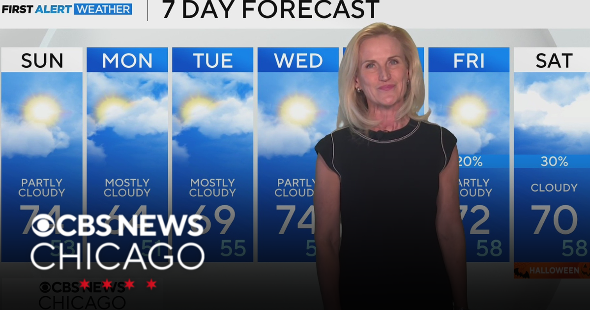 Scattered clouds for Saturday night in Chicago
CBS News Bay Area Evening Edition Weekend 5pm CBS News Philadelphia 7:30pm KDKA News at 7 CBS13 News Weekend 5pm CBS News Texas Saturday 5pm
-
 First Alert Weather: Sun and clouds Saturday in New York - 10/24/26
CBS News - The 5:33 | Legacy of the LIRR Massacre - On The Dot with David Schechter: Wildfires & Climate Change First Alert Weather: Sun and clouds Saturday in New York - 10/24/26 First Alert Weather: Near normal temps…
-
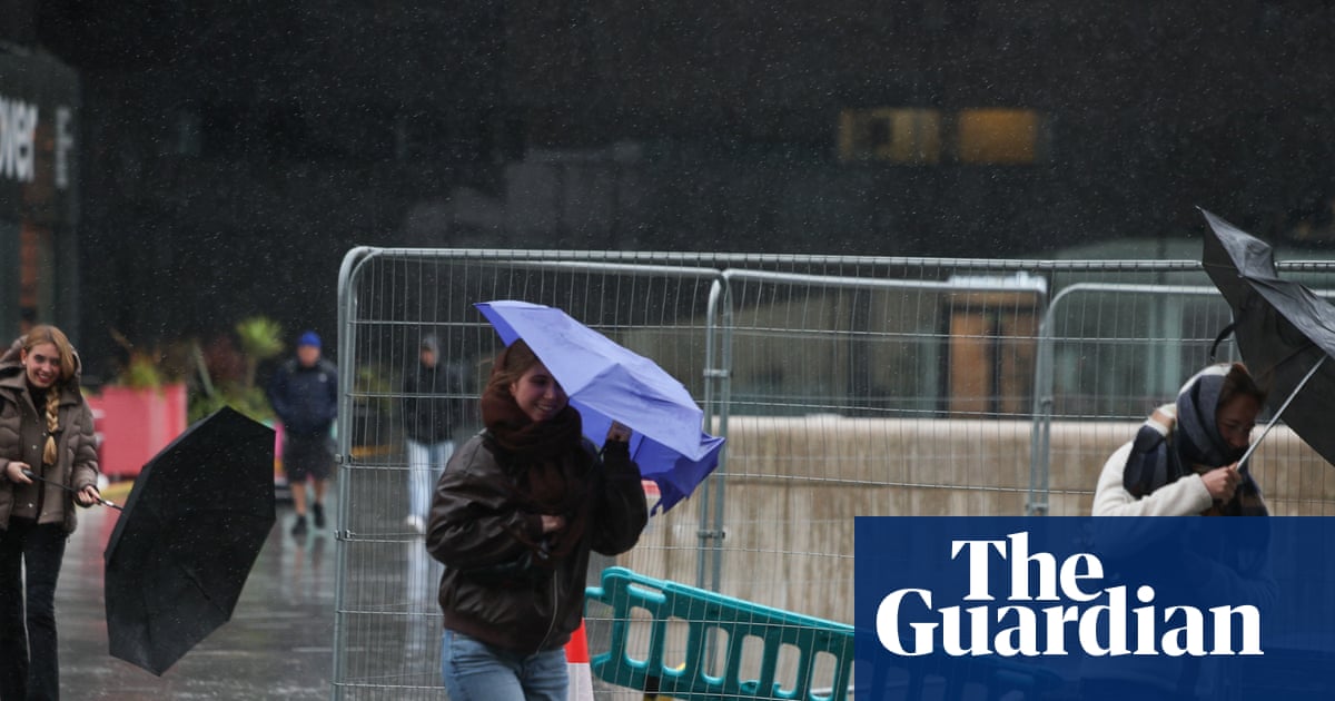 Storm Boelo: Travel disrupted and events cancelled as UK hit by wind and rain
Fresh deluge of wet weather comes after Storm Austen brought strong winds to many regions on Friday Amber weather warnings have come into force as the worst of Storm Boelo could be set to hit parts of the UK. Storm…
Sun & moon
Nearby
- M'Sila 59 km
- Bou Saâda 58 km
- Sidi Aïssa 26 km
- Sour el Ghozlane 56 km
- Birine 59 km
- Chellalat el Adhaouara 52 km
- Melouza 44 km
Forecasts, observations and alerts in the United States come from the National Weather Service (NOAA); radar from NOAA's Multi-Radar Multi-Sensor system; satellite imagery from NASA's Global Imagery Browse Services (GIBS) and NOAA's GOES satellites; the map from the U.S. Geological Survey's National Map; air quality from AirNow (EPA and its partners); hurricane information from the National Hurricane Center; climate normals and records from NOAA's Regional Climate Centers (ACIS). Forecasts outside the United States and the UV index: MET Norway (CC BY 4.0); observations outside the U.S.: airport reports via NOAA's Aviation Weather Center. Place names: GeoNames (CC BY 4.0). Data are copied on a schedule and may lag the sources; for warnings that affect your safety, follow your local National Weather Service office and emergency officials. Weather news is drawn from the 4Search index and reflects what the press published. Terms of use.