Install
Kirchheim unter Teck, Baden-Wurttemberg, Germany Weather
Current conditions
Observed at Stuttgart Arpt · 1 hr ago
Forecast
10-day-
Sunday
Heavy rain. High 13°. Precipitation 4.0 mm for the day.
-
Sunday Night
Partly cloudy. Low 7°. Precipitation 4.0 mm for the day.
-
Monday
Cloudy. High 12°.
MET Norway forecast updated 9 hrs ago.
Hourly
Hourly forecast- Now9°
- 20:009°
- 21:008°
- 22:007°
- 23:007°
- Mon00:007°
- 01:007°
- 02:007°
- 03:007°
- 04:007°
- 05:006°
- 06:006°
- 07:006°
- 08:007°
- 09:008°
- 10:0010°
- 11:0011°
- 12:0012°
- 13:0012°
- 14:0012°
- 15:0012°
- 16:0012°
- 17:009°
- 18:008°
Daily forecast
DetailsRadar
Full mapWeather news in Germany
More weather news-
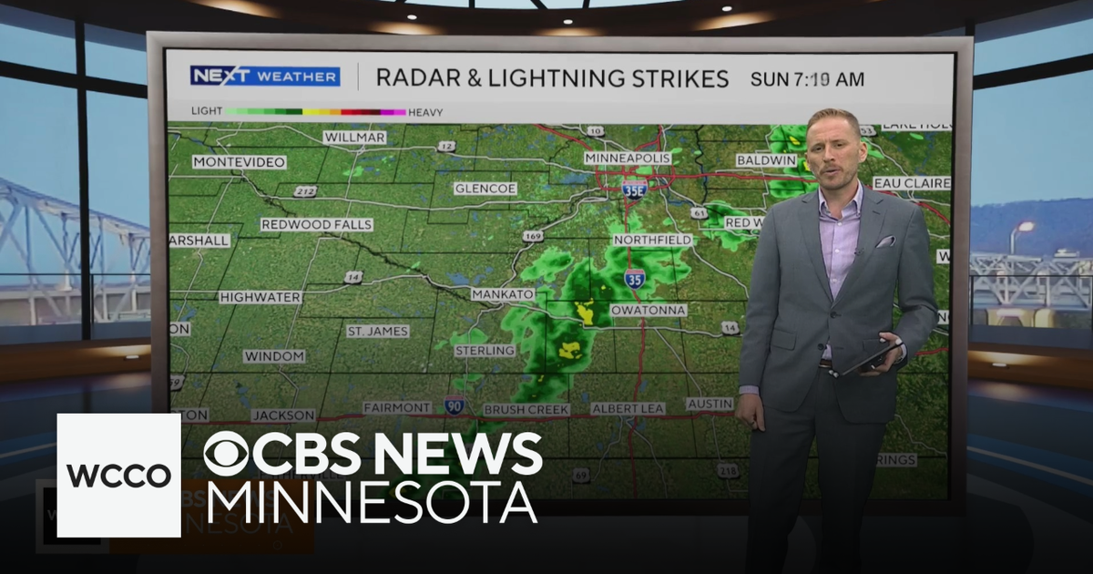 Cooler air returns to Minnesota, along with scattered showers | Oct. 25, 2026
CBS News Minnesota is a local news organization that is part of CBS News and Stations. Also referred to as WCCO-TV and channel 4, CBS News Minnesota offers local breaking news, weather coverage and investigative…
-
 Forget Me Not provides end-of-life care for your furry friends
End-of-life care is an important consideration for all pet owners. Often you might think of cremation, but have you ever heard of aquamation? Karen Randall with Forget Me Not Gentle Pet Aquamation and Comfort Center…
-
 Record number of Minnesotans expected to visit food shelves in 2026
More and more Minnesotans are reaching out for help to put food on the table. Last year, there were more than 9 million visits to food shelves in Minnesota. The nonprofit tracking those numbers tells our Conor Wight…
-
 First Alert Forecast: Feeling like late Summer next week
Sunday is partly cloudy with comfortable temps. We feel like late Summer next week. Monday’s highs warm up a couple of degrees, as we approach the mid 70’s in the afternoon. We will feel more like late Summer rather…
-
 Clock change in Czechia delays night trains and buses by an hour
On the night from Saturday to Sunday, when Czechia switches to winter time, more than 20 night trains and buses will be delayed by an hour. The clock change will affect international services run by several operators…
-
 Did the Clocks Go Back in the UK? Why October 25 Marks the End of British Summer Time, How the BST-to-GMT Change Works and When the Next Clock Change Will Take Place
Clocks across the United Kingdom have gone back by one hour on Sunday, October 25, marking the end of British Summer Time (BST) and the return to Greenwich Mean Time (GMT). The annual autumn change gives people an extra…
-
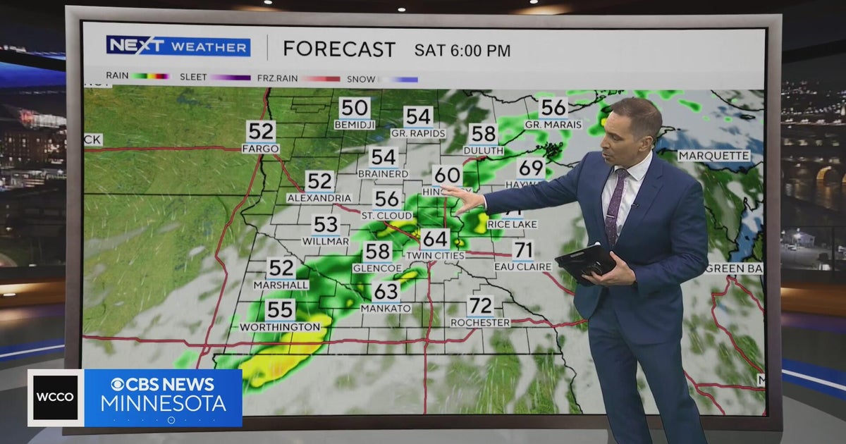 Minnesota weather to feature warm temps Saturday before cooldown | Oct. 23, 2026
CBS News Minnesota is a local news organization that is part of CBS News and Stations. Also referred to as WCCO-TV and channel 4, CBS News Minnesota offers local breaking news, weather coverage and investigative…
-
 First Alert Forecast: Saturday morning fog, mostly sunny weekend
Dense fog is possible early Saturday morning, but otherwise we expect plenty of sunshine and pleasant weather throughout our weekend with highs in the lower 70s. FORT WAYNE, Ind. (WPTA) - Dense fog is possible once…
-
 Daylight saving time: Clocks 'fall back' just days from now
WASHINGTON — You'll get an extra hour to sleep off the Halloween fun this year (unless you have young children), as most Americans across the country "fall back" to standard time for daylight saving time. The biannual…
-
 First Alert Forecast: Great weekend in store, no rain until next week
Michael Moranelli's Friday Morning Forecast | October 23, 2026 FORT WAYNE, Ind. (WPTA) - Our near perfect week will come to a close with another warm and sunny day! Isolated fog departed this morning allowing for plenty…
Sun & moon
Nearby
- Stuttgart 25 km
- Ulm 48 km
- Reutlingen 25 km
- Esslingen 15 km
- Tübingen 33 km
- Ludwigsburg 34 km
- Aalen 51 km
- Sindelfingen 33 km
- Schwäbisch Gmünd 30 km
- Göppingen 16 km
- Waiblingen 23 km
- Neu-Ulm 50 km
Forecasts, observations and alerts in the United States come from the National Weather Service (NOAA); radar from NOAA's Multi-Radar Multi-Sensor system; satellite imagery from NASA's Global Imagery Browse Services (GIBS) and NOAA's GOES satellites; the map from the U.S. Geological Survey's National Map; air quality from AirNow (EPA and its partners); hurricane information from the National Hurricane Center; climate normals and records from NOAA's Regional Climate Centers (ACIS). Forecasts outside the United States and the UV index: MET Norway (CC BY 4.0); observations outside the U.S.: airport reports via NOAA's Aviation Weather Center. Place names: GeoNames (CC BY 4.0). Data are copied on a schedule and may lag the sources; for warnings that affect your safety, follow your local National Weather Service office and emergency officials. Weather news is drawn from the 4Search index and reflects what the press published. Terms of use. How to use Weather