Install
Valencia, Córdoba, Colombia Weather
Current conditions
Forecast for this hour (no station report in the last two hours)
Forecast
10-day-
Wednesday
Heavy rain. High 30°. Precipitation 17.3 mm for the day.
-
Wednesday Night
Heavy rain. Low 24°. Precipitation 17.3 mm for the day.
-
Thursday
Light showers. High 31°. Precipitation 6.4 mm for the day.
MET Norway forecast updated 15 hrs ago.
Hourly
Hourly forecast- Now28°0.2
- 17:0027°0.4
- 18:0027°
- 19:0027°
- 20:0026°
- 21:0026°0.2
- 22:0025°
- 23:0025°1.2
- Thu00:0024°2.4
- 01:0024°1.4
- 02:0024°0.4
- 03:0024°
- 04:0024°
- 05:0024°
- 06:0024°
- 07:0025°
- 08:0026°
- 09:0027°
- 10:0029°
- 11:0029°
- 12:0030°
- 13:0031°0.2
- 14:0031°0.2
- 15:0031°
Daily forecast
DetailsRadar
Full mapWeather news near Valencia
More weather news-
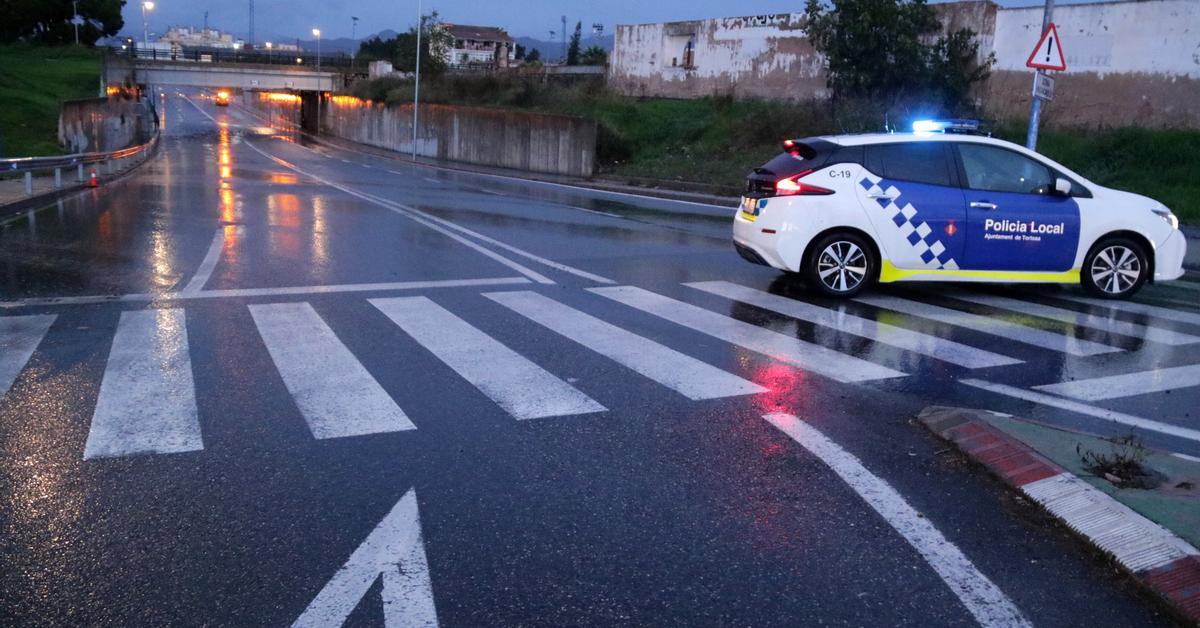 The strongest downpours dodge Catalonia, but the alert is maintained at night
The Government asks for prudence until Tuesday morning, when meteorological stability is expected to return Catalonia is spending another night looking at the sky The DANA DANA,which is sweeping through a good part of…
-
 Exact date Storm Austen will hit UK with 70mph winds as Brits urged to secure bins, trampolines and garden furniture
BRITS are bracing for heavy rain and 70mph gusts as stormy conditions look set to sweep across the UK this week. The Met Office has issued a yellow wind warning covering 38 areas of England and Wales for Friday. Here’s…
-
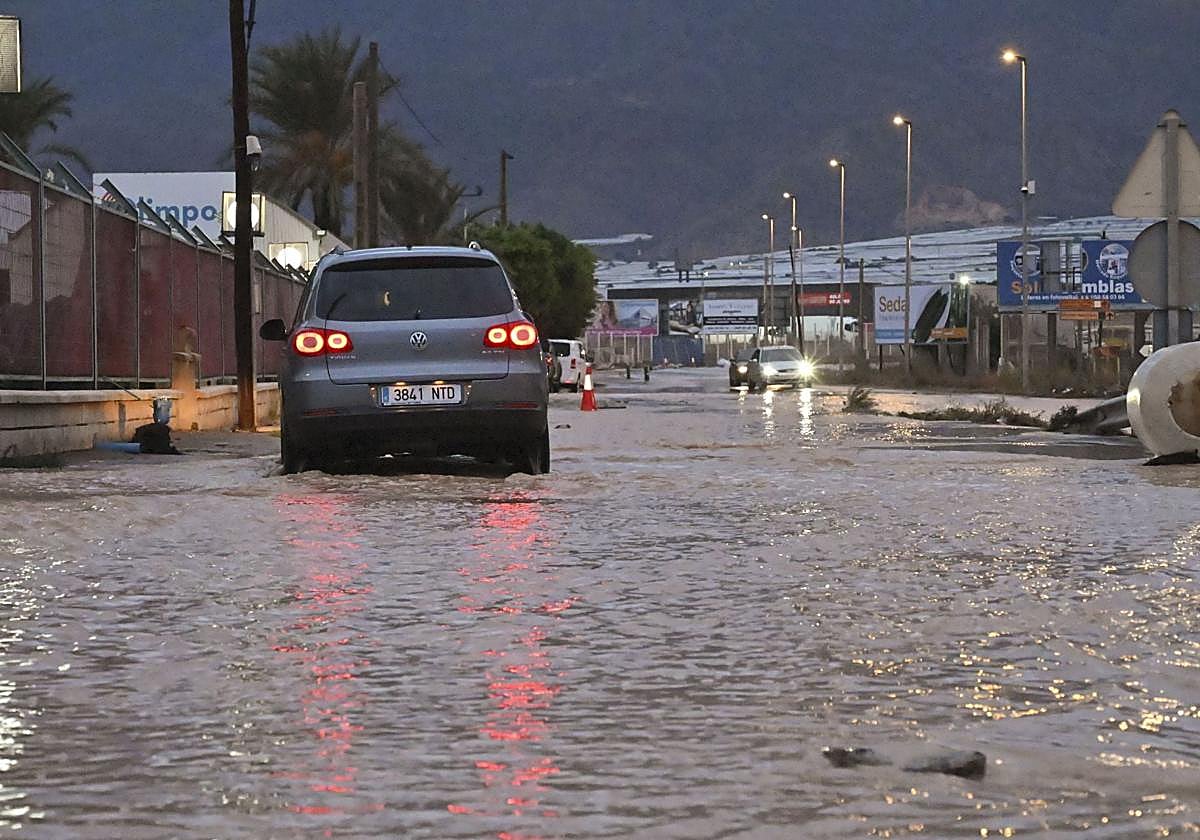 Storm Adam triggers red alert for the south of Valencia and the north of Alicante, with rainfall of up to 400mm
Storm Adam will bring heavy storms, which along the coast southern Valencia and northern Alicante may be torrential and persistent, with localised accumulations of 300–400mm between Sunday and Monday. Furthermore, there…
-
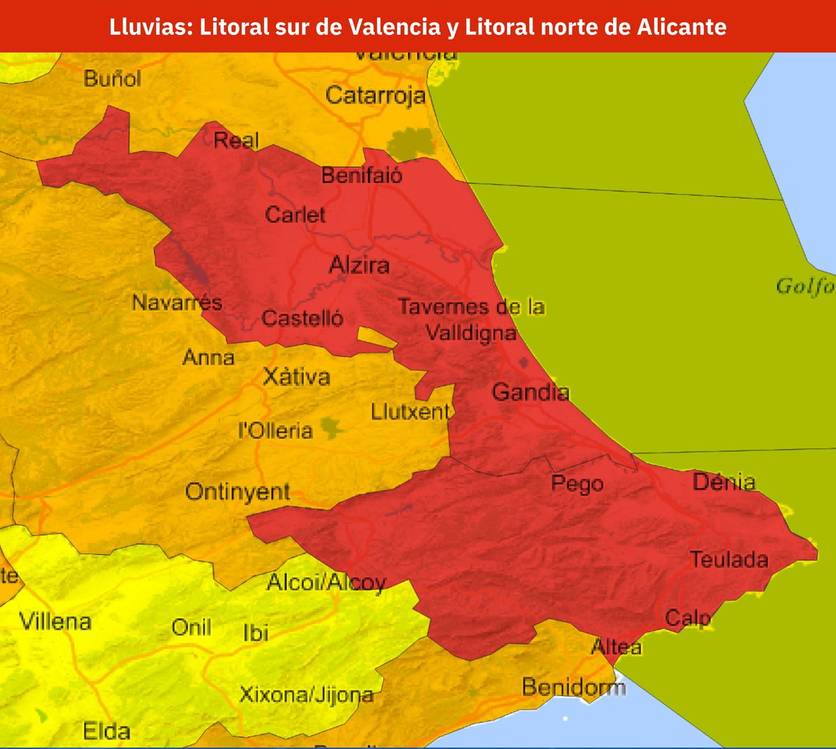 Spain issues red weather alert as up to 300mm of rain threatens Valencia and Alicante
AEMET has issued a red weather alert for parts of Valencia and Alicante, with rainfall potentially reaching 300mm in 24 hours. Credit: X- AEMET The warning is for the southern coast of Valencia province and the north…
- Spain Rain Alerts: Red Warnings for Barcelona, Valencia
Red rain warnings are affecting Spain’s Mediterranean coast this weekend, with torrential rainfall forecast around Barcelona on Saturday, October 17, followed by the southern Valencia and northern Alicante coasts on…
-
 Mallorca weather for Sunday, October 18 - Rain/thunderstorm alerts for Sunday and Monday
Majorca Daily Bulletin So, Storm Adam is on its way, the anticipated advance impact on Saturday not having materialised during the day It was quite sunny and there had been no rain by 5.30pm Weather stations point to…
-
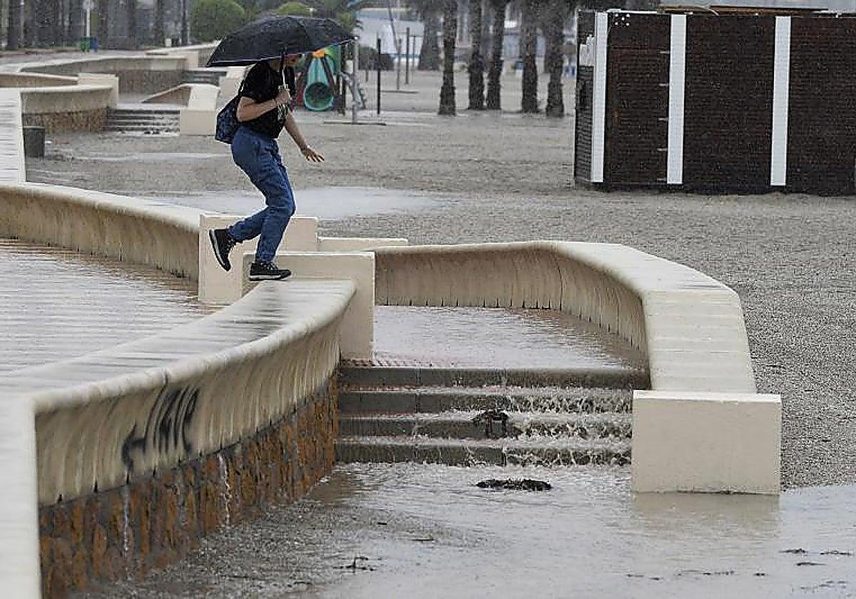 Weather warnings around Andalucía: Aemet forecasts heavy rain across the region, with Almeria on red alert
The warning was raised to red in Almeria – in the areas around the city, Poniente and Levante – where up to 100mm in 12 hours are forecast. In light of this situation, the regional government of Andalucía, represented…
-
 LatAm Expat & Nomad Daily Guide for Tuesday, October 20, 2026
LatAm Expat & Nomad Daily Guide — Tuesday, October 20, 2026 As of 12:30 a.m. US Eastern Time (ET) · 1:30 a.m. Brasília, Tuesday 20 October 2026 · storm bulletin to Monday night, rates to the latest published fixing…
-
 Kingdom to see mild weather through Monday
Jordan, 18 Other Countries Condemn Colombia’s Opening of Embassy in Jerusalem Amman, Oct. 16 (Petra)-- The Kingdom is expected to experience mild weather across most regions on Friday, while conditions will remain…
- Bunker Fuel Tightens in US Gulf as Weather Disrupts Operations
Sea fog may also impede bunker deliveries in the US Gulf early on Friday. The likelihood of fog off Galveston is high from midnight until midday on Friday, with visibility expected to fall to two nautical miles in the…
Sun & moon
Nearby
- San Pedro de Urabá 25 km
- Tierralta 14 km
- Canalete 47 km
- Moñitos 11 km
Forecasts, observations and alerts in the United States come from the National Weather Service (NOAA); radar from NOAA's Multi-Radar Multi-Sensor system; satellite imagery from NASA's Global Imagery Browse Services (GIBS) and NOAA's GOES satellites; the map from the U.S. Geological Survey's National Map; air quality from AirNow (EPA and its partners); hurricane information from the National Hurricane Center; climate normals and records from NOAA's Regional Climate Centers (ACIS). Forecasts outside the United States and the UV index: MET Norway (CC BY 4.0); observations outside the U.S.: airport reports via NOAA's Aviation Weather Center. Place names: GeoNames (CC BY 4.0). Data are copied on a schedule and may lag the sources; for warnings that affect your safety, follow your local National Weather Service office and emergency officials. Weather news is drawn from the 4Search index and reflects what the press published. Terms of use.