Install
Pital, Huila Department, Colombia Weather
Current conditions
Forecast for this hour (no station report in the last two hours)
Forecast
10-day-
Wednesday
Heavy rain. High 28°. Precipitation 9.0 mm for the day.
-
Wednesday Night
Rain. Low 21°. Precipitation 9.0 mm for the day.
-
Thursday
Rain. High 28°. Precipitation 0.5 mm for the day.
MET Norway forecast updated 1 day ago.
Hourly
Hourly forecast- Now27°
- 17:0026°
- 18:0024°
- 19:0023°
- 20:0023°
- 21:0023°
- 22:0022°
- 23:0022°
- Thu00:0021°
- 01:0021°
- 02:0021°
- 03:0020°
- 04:0020°
- 05:0020°
- 06:0021°
- 07:0022°
- 08:0024°
- 09:0026°
- 10:0027°
- 11:0028°
- 12:0027°
- 13:0027°
- 14:0028°
- 15:0028°
Daily forecast
DetailsRadar
Full mapWeather news near Pital
More weather news- San Diego Heat Advisory And Santa Ana Winds Friday
San Diego is heading into Friday, with afternoon temperatures expected to reach near 94 under a Heat Advisory that runs through Saturday evening. Santa Ana winds will add a dry, gusty edge, with conditions easing this…
-
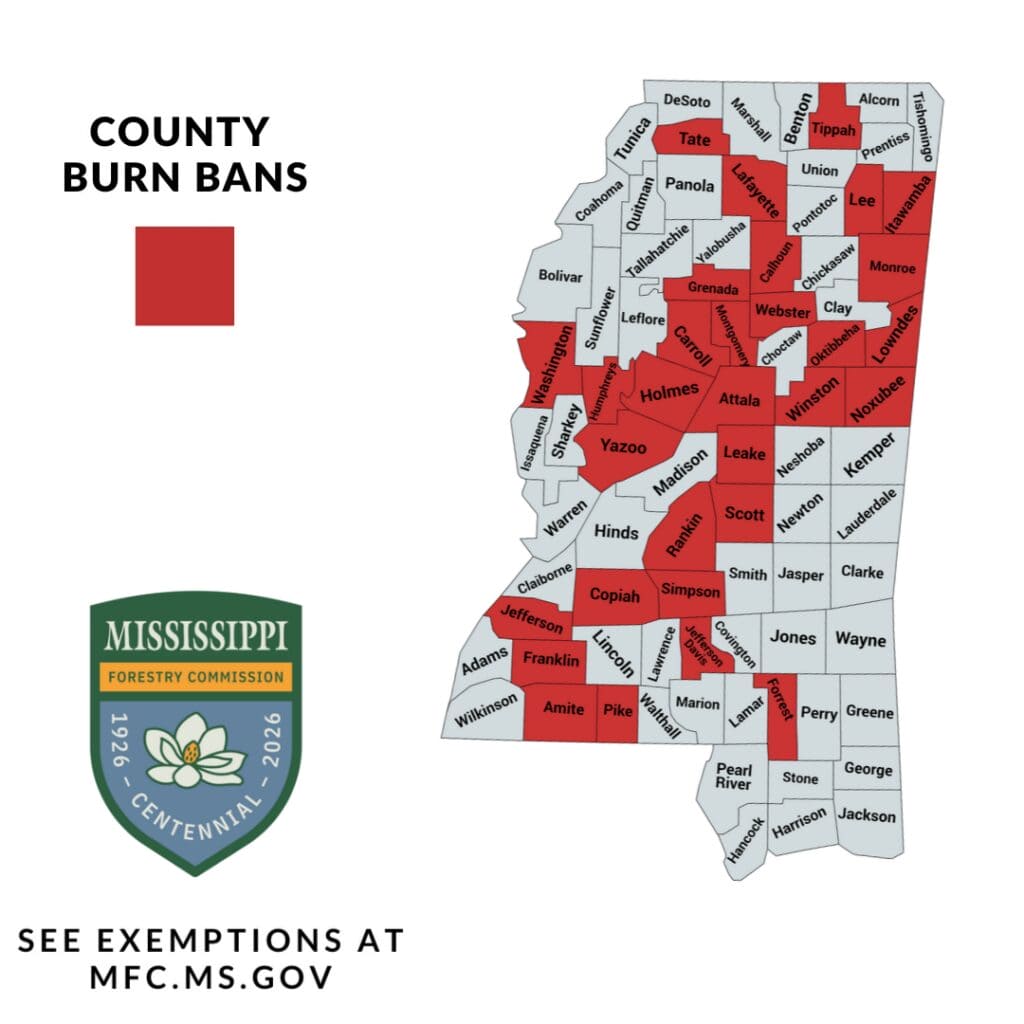 Tippah County roundup, Oct. 16, 2026: Burn ban continues amid dry winds; archives seeks photo help
Tippah County remains under a burn ban as a cold front brings dry air and gusty winds, according to Tippah News’ reporting citing the Mississippi Forestry Commission and National Weather Service Memphis. The…
-
 352 WEEKEND WEATHER FORECAST OCT. 16-18: Overnight temps and rain chances to drop
Evenings and nights this weekend will approach "fire pit" lows in the bottom of the 60s across North Central Florida. MARION COUNTY, FL (352today.com) – Will it or won’t it feel like fall? That’s really the question on…
- Dry and Windy Weekend Could Be Recipe For Fire Danger in Acadiana
(Lafayette, Louisiana) - A strong cold front will sweep across much of the southern region this weekend, and many willl want to light the first fire in the fire pit of the season, but you want to hold off. Look, I know…
- Fall is Coming: First front of the season is expected to swing through Friday
LAFAYETTE, La. (Acadiana News First) - It feels like we’ve finally gotten to the waning days of summer. There’s obviously still some warm days to come this month, but this weekend Acadiana will get its first real front…
- One Calm Day, Then Boom: Storms and Frost Zero In on Omaha
Omaha was expected to stay dry and mostly cloudy Wednesday, but the calm will not last all week. Skies should remain mostly cloudy with a high near 63 before rain chances rise overnight, followed by a sharp cooldown and…
- Houston Sizzles, Then Shivers As Friday Cold Front Finally Delivers Fall Weekend
According to the National Weather Service Houston/Galveston, Wednesday’s rain chance is about 20%, with the best window from 7 a.m. to 1 p.m. Southeast winds will run 5 to 15 mph, and the air should become noticeably…
-
 "False fall" cold front to drop temperatures, raise wildfire risk
MEMPHIS, Tenn. - As temperatures plunge this weekend, courtesy of our annual "false fall" cooldown, you may be tempted to stay warm with a bonfire or fire pit. MEMPHIS, Tenn. - As temperatures plunge this weekend…
-
 Rollercoaster temps in Maryland with rain chances this week
CBS News Rollercoaster temps in Maryland with rain chances this week Whiplash of temperatures in Maryland ahead of rain Howard University club tennis team demands accountability over UMD's racist graphic Gov. Moore…
- Remnants of Hurricane Rachel Will Bring Rain to Grand Junction This Weekend
Here’s a sentence you don’t get to write very often in a Grand Junction weather story: a hurricane is going to help water your lawn this weekend. Before anybody starts taping up windows, relax. Nothing with an eye and a…
Sun & moon
Nearby
Forecasts, observations and alerts in the United States come from the National Weather Service (NOAA); radar from NOAA's Multi-Radar Multi-Sensor system; satellite imagery from NASA's Global Imagery Browse Services (GIBS) and NOAA's GOES satellites; the map from the U.S. Geological Survey's National Map; air quality from AirNow (EPA and its partners); hurricane information from the National Hurricane Center; climate normals and records from NOAA's Regional Climate Centers (ACIS). Forecasts outside the United States and the UV index: MET Norway (CC BY 4.0); observations outside the U.S.: airport reports via NOAA's Aviation Weather Center. Place names: GeoNames (CC BY 4.0). Data are copied on a schedule and may lag the sources; for warnings that affect your safety, follow your local National Weather Service office and emergency officials. Weather news is drawn from the 4Search index and reflects what the press published. Terms of use.