Install
Njinikom, North-West, Cameroon Weather
Current conditions
Forecast for this hour (no station report in the last two hours)
Forecast
10-day-
Saturday
Heavy rain. High 25°. Precipitation 7.6 mm for the day.
-
Saturday Night
Cloudy. Low 18°. Precipitation 7.6 mm for the day.
-
Sunday
Heavy rain. High 25°. Precipitation 16.2 mm for the day.
MET Norway forecast updated 1 day ago.
Hourly
Hourly forecast- Now19°
- 02:0019°
- 03:0019°
- 04:0018°
- 05:0018°
- 06:0018°
- 07:0019°
- 08:0021°
- 09:0022°
- 10:0024°
- 11:0024°0.2
- 12:0025°0.8
- 13:0024°4.2
- 14:0022°1.5
- 15:0021°0.7
- 16:0021°0.2
- 17:0021°
- 18:0020°
- 19:0019°
- 20:0019°
- 21:0019°
- 22:0019°
- 23:0019°
- Sun00:0019°
Daily forecast
DetailsRadar
Full mapWeather news
More weather news-
 Before you crank up the thermostat, try these tips to keep your house warmer for longer
Cora Harrison says she saves money by only turning on heating in rooms her family is using As the UK braces for a chilly weekend, with powerful winds and heavy rain hitting parts of the country, people are looking for…
-
 Thunderstorms, heavy rain and flash flooding predicted for much of Australia
Parts of Queensland, Victoria and South Australia can expect severe storms on Saturday, moving into NSW and Tasmania by Sunday Severe thunderstorms and heavy rain will sweep across most Australian states this weekend…
-
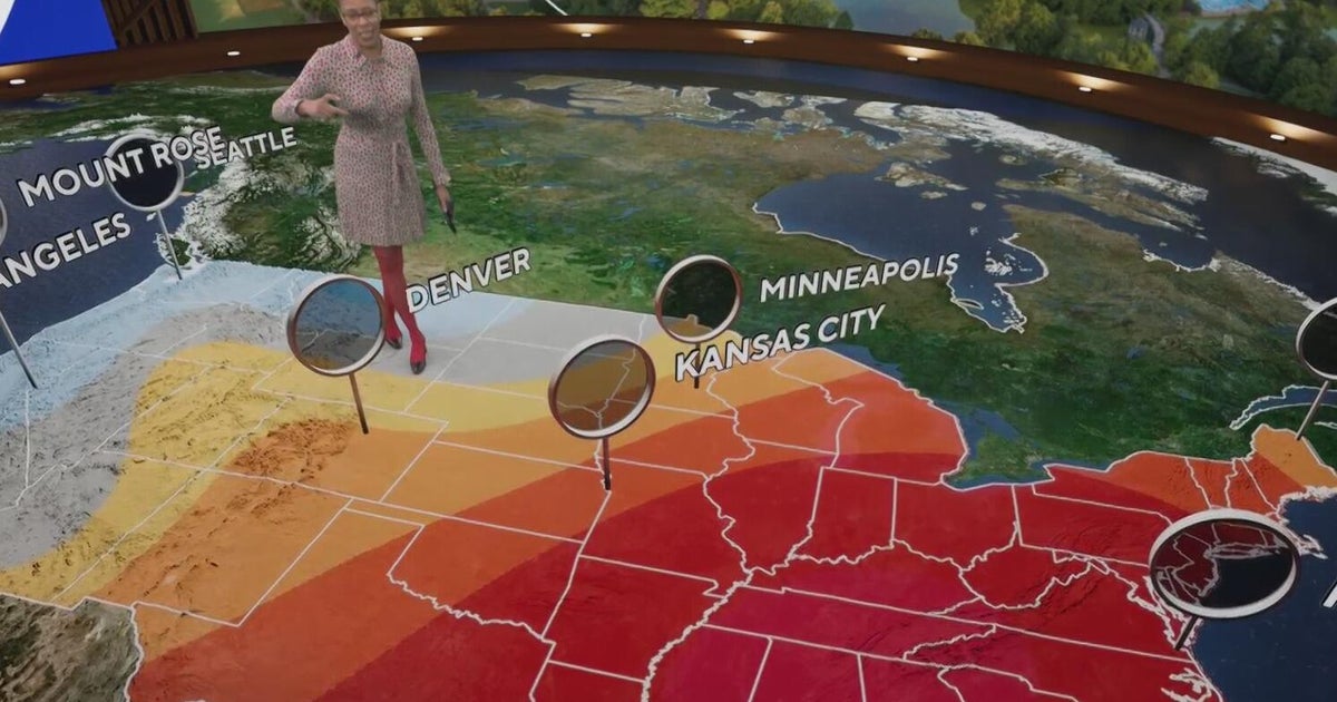 Fall weather in full force across Georgia this weekend
CBS News Atlanta is a local news organization that is part of CBS News and Stations. Also referred to as WUPA and channel 69, CBS News Atlanta offers local breaking news, weather coverage and investigative reporting…
-
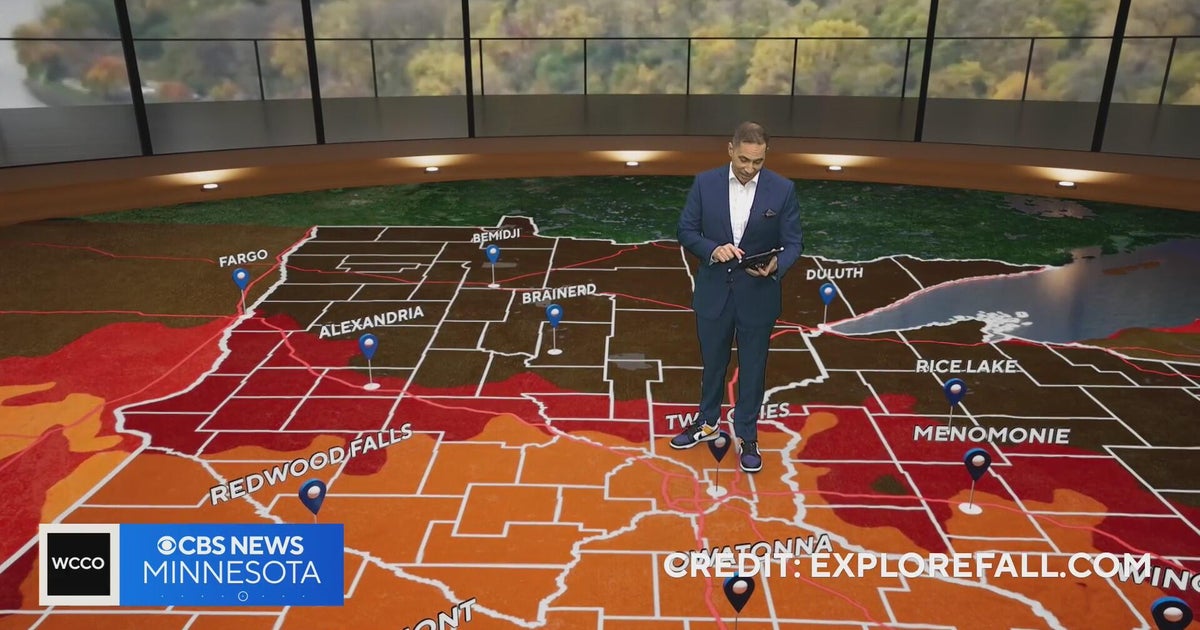 Minnesota weather: one last warm day, then a damp, cool change | Oct. 23, 2026
CBS News Minnesota is a local news organization that is part of CBS News and Stations. Also referred to as WCCO-TV and channel 4, CBS News Minnesota offers local breaking news, weather coverage and investigative…
-
 Trains cancelled and roads warnings as Scotland prepares for Storm Boelo
Some train services will be cancelled during Storm Boelo Train services have been cancelled and police have warned against unnecessary road journeys as Scotland prepares for the arrival of Storm Boelo. Heavy rain and…
-
 Vance could be a major Category 3 hurricane Friday as it nears Mexico
Vance has become a hurricane off the coast of Mexico MIAMI — Vance became a hurricane Friday and the National Hurricane Center said it would strengthen rapidly as it nears Mexico’s Pacific Coast. Vance was a Category 1…
-
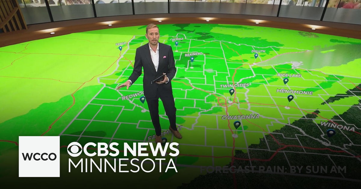 Minnesota's weather is about to pivot back to fall | Oct. 23, 2026
CBS News Minnesota is a local news organization that is part of CBS News and Stations. Also referred to as WCCO-TV and channel 4, CBS News Minnesota offers local breaking news, weather coverage and investigative…
-
 Amber wind warning issued as storm sweeps in
An amber warning for wind has been issued for parts of Cumbria and the north-east of England as the region braces itself for Storm Boelo. High winds are expected to batter north and west Cumbria, including Carlisle…
-
 Sunny skies and frosty nights ahead for Massachusetts this weekend
A stretch of dry, pleasant fall weather has arrived across Massachusetts, bringing sunny afternoons and sharply cold nights through the weekend and into next week. Temperatures overnight will dip well below freezing in…
-
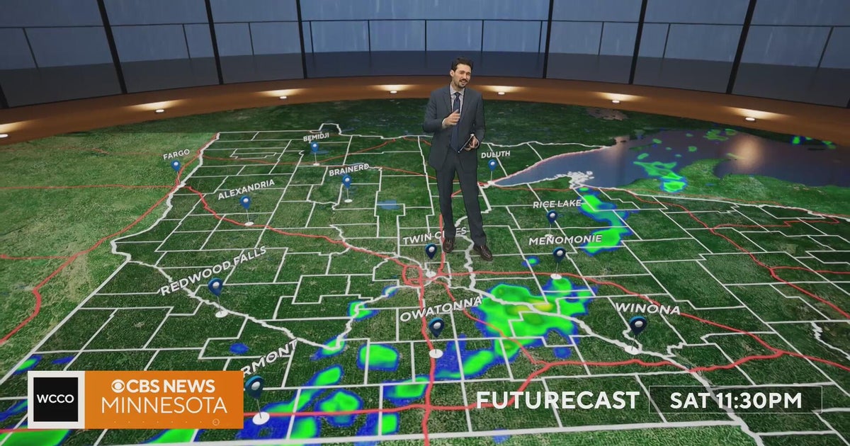 Minnesota weather turns cooler after a Saturday cold front brings light showers | Oct. 23, 2026
Rain chances improve Saturday afternoon and evening, with amounts under a tenth of an inch and gusts near 30 mph. Highs reach the 70s ahead of the front, then fall to the mid 50s Sunday, WCCO meteorologist Joseph Dames…
Sun & moon
Nearby
Forecasts, observations and alerts in the United States come from the National Weather Service (NOAA); radar from NOAA's Multi-Radar Multi-Sensor system; satellite imagery from NASA's Global Imagery Browse Services (GIBS) and NOAA's GOES satellites; the map from the U.S. Geological Survey's National Map; air quality from AirNow (EPA and its partners); hurricane information from the National Hurricane Center; climate normals and records from NOAA's Regional Climate Centers (ACIS). Forecasts outside the United States and the UV index: MET Norway (CC BY 4.0); observations outside the U.S.: airport reports via NOAA's Aviation Weather Center. Place names: GeoNames (CC BY 4.0). Data are copied on a schedule and may lag the sources; for warnings that affect your safety, follow your local National Weather Service office and emergency officials. Weather news is drawn from the 4Search index and reflects what the press published. Terms of use.