Install
Santa, Montagnes, Côte d'Ivoire Weather
Current conditions
Forecast for this hour (no station report in the last two hours)
Forecast
10-day-
Wednesday
Heavy rain. High 27°. Precipitation 4.8 mm for the day.
-
Wednesday Night
Rain. Low 21°. Precipitation 4.8 mm for the day.
-
Thursday
Light showers. High 29°. Precipitation 0.9 mm for the day.
MET Norway forecast updated 15 hrs ago.
Hourly
Hourly forecast- Now21°0.3
- 03:0021°0.4
- 04:0021°
- 05:0021°
- 06:0021°
- 07:0021°
- 08:0022°
- 09:0024°
- 10:0025°0.2
- 11:0026°
- 12:0027°0.2
- 13:0027°1.3
- 14:0026°1.6
- 15:0024°
- 16:0025°0.2
- 17:0025°
- 18:0024°
- 19:0023°0.3
- 20:0022°
- 21:0021°
- 22:0021°
- 23:0021°
- Thu00:0021°
- 01:0021°
Daily forecast
DetailsRadar
Full mapWeather news near Santa
More weather news-
 Rain, Cooler Temperatures Return To Santa Clarita
Posted by: Louie Diaz in Santa Clarita Latest News, Weather October 19, 2026 - 2:17 pm 0 57 Views Conditions are expected to start cooling off, with rain arriving in the Santa Clarita Valley Wednesday evening into…
-
 Santa Ana winds diminish, comfortable conditions ahead
THOUSAND PALMS, Calif. (KESQ) — Elevated Santa Ana winds have diminished overnight, meaning the high wind warning from the National Weather Service is no longer in effect. However, winds will pick up again later this…
-
 Quiet, warm Sunday expected across Kern County as Santa Ana winds fade
by Chief Meteorologist Ilya Neyman BAKERSFIELD, Calif. (KBAK/KBFX) — A quiet, but still warm, day is in store across Kern County USA on Sunday. The Santa Ana wind pattern is going to be history while a new weather…
-
 Cooler temperatures, possible rain headed for Southern California
It’s time to grab those jackets and pull out the umbrellas because cooler temperatures and a chance of rain is on tap for Southern California by the middle of this week, forecasters say. The region could see widespread…
-
 First rain of season coming to Bay Area, flash flood warning on coast
The Bay Bridge and buildings during rainy weather as seen from Treasure Island in San Francisco on Nov. 17, 2025. Days after hot and dry weather led to red flag warnings in the North Bay, the Bay Area is forecast to get…
-
 San Diego's Weather Forecast for October 19, 2026: Cooling off with rain mid to late this week
A Beach Hazards Statement has been extended until 11pm Tuesday for waves of 3 to 8 feet and strong rip currents. A cold Pacific storm will bring a slight chance of sprinkles to a stray shower over the mountains by…
-
 Dog gets the zoomies among peak New England foliage
Adorable dog gets the zoomies among colorful New England leaves The Weather Channel Adorable dog gets the zoomies among colorful New England leaves Adorable footage shows a dog bounding through piles of vibrant leaves…
-
 Cool weather and rain on tap for San Diego County this week
A north Pacific storm that’s drawing moisture from distant Tropical Storm Trudy will spread across San Diego County late Tuesday night and drop a half-inch or more of precipitation through Friday, the National Weather…
-
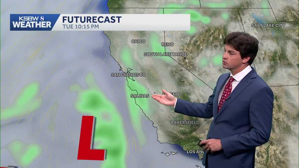 A cooler, wetter pattern takes hold across the Central Coast
A midweek storm brings light rain to the Central Coast and Bay Area, with a slight chance of thunderstorms near the Santa Lucia Range and southern Monterey County ... The cooldown continues Monday as a low-pressure…
- Bay Area gets weather whiplash with first rain of the season expected this week
The Bay Bridge and buildings during rainy weather as seen from Treasure Island in San Francisco on Nov. 17, 2025. Days after hot and dry weather led to red flag warnings in the North Bay, the Bay Area is forecast to get…
Sun & moon
Nearby
Forecasts, observations and alerts in the United States come from the National Weather Service (NOAA); radar from NOAA's Multi-Radar Multi-Sensor system; satellite imagery from NASA's Global Imagery Browse Services (GIBS) and NOAA's GOES satellites; the map from the U.S. Geological Survey's National Map; air quality from AirNow (EPA and its partners); hurricane information from the National Hurricane Center; climate normals and records from NOAA's Regional Climate Centers (ACIS). Forecasts outside the United States and the UV index: MET Norway (CC BY 4.0); observations outside the U.S.: airport reports via NOAA's Aviation Weather Center. Place names: GeoNames (CC BY 4.0). Data are copied on a schedule and may lag the sources; for warnings that affect your safety, follow your local National Weather Service office and emergency officials. Weather news is drawn from the 4Search index and reflects what the press published. Terms of use.