Install
Qualicum Beach, British Columbia, Canada Weather
Current conditions
Observed at Sisters Isl · 53 min ago
Forecast
10-day-
Wednesday
Cloudy. High 15°.
-
Wednesday Night
Cloudy. Low 8°.
-
Thursday
Partly cloudy. High 13°.
MET Norway forecast updated 19 hrs ago.
Hourly
Hourly forecast- Now9°
- 02:009°
- 03:009°
- 04:009°
- 05:009°
- 06:008°
- 07:008°
- 08:008°
- 09:0010°
- 10:0013°
- 11:0014°
- 12:0014°
- 13:0015°
- 14:0015°
- 15:0015°
- 16:0015°
- 17:0014°
- 18:0012°
- 19:0011°
- 20:0010°
- 21:009°
- 22:009°
- 23:008°
- Thu00:008°
Daily forecast
DetailsRadar
Full mapWeather news in Canada
More weather news-
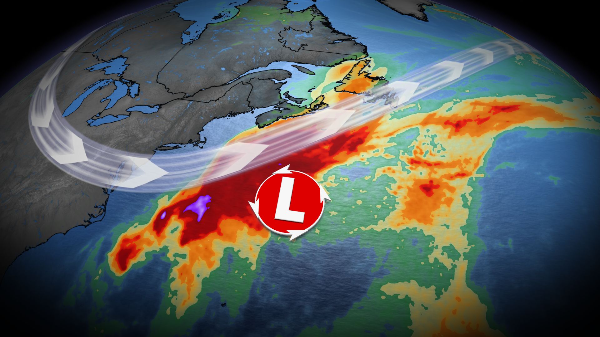 Nor’easter may impact Atlantic Canada late this week as forecasters track developing low-pressure system
Home » Trending » Nor’easter may impact Atlantic Canada late this week as forecasters track developing low-pressure system Atlantic Canada could face significant weather challenges later this week as meteorologists…
-
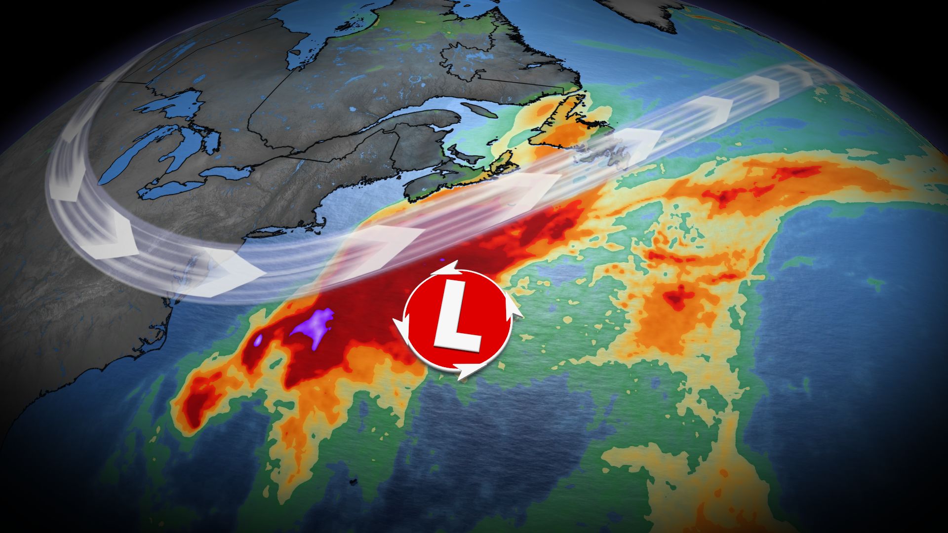 U.S. East Coast bracing for nor'easter this week. Will Canada be impacted?
A comprehensive look at a developing nor'easter this week, including its potential for significant wind and rainfall for parts of Atlantic Canada Atlantic Canada may be in for a rough middle of the or late week, with…
-
 Cruise ship passengers who packed for trip to Bahamas stunned after bad weather forces them to sail to chilly Nova Scotia instead
Some cruise passengers aboard a Royal Caribbean ship are sorely under-packed after the boat rerouted from the sunny Bahamas to chilly Canada to avoid a storm. For 5,000 passengers aboard the Oasis of the Seas, which…
-
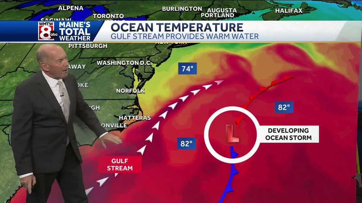 How an ocean storm will (not) impact the area
High pressure keeps northern New England mostly dry through the weekend, although an offshore storm brings some clouds Wednesday and Thursday. Another chilly night is ahead, with lows in the 20s to mid-30s. Temperatures…
- Cruise passengers who packed for Bahamas stunned after weather forces them to sail to Nova Scotia
Some cruise passengers aboard a Royal Caribbean ship are sorely under-packed after the boat rerouted from the sunny Bahamas to chilly Canada to avoid a storm. For 5,000 passengers aboard the Oasis of the Seas, which…
-
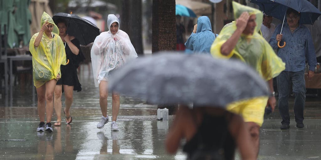 Slow-moving system could bring days of heavy rain and flooding to the Bahamas and Florida
A slow-moving system is developing near the Southwest Atlantic, bringing days of rain to Florida. Some areas could see 3 to 5 inches. A Level 1 out of 4 flash flood risk has been issued for Friday, while a Level 2 out…
-
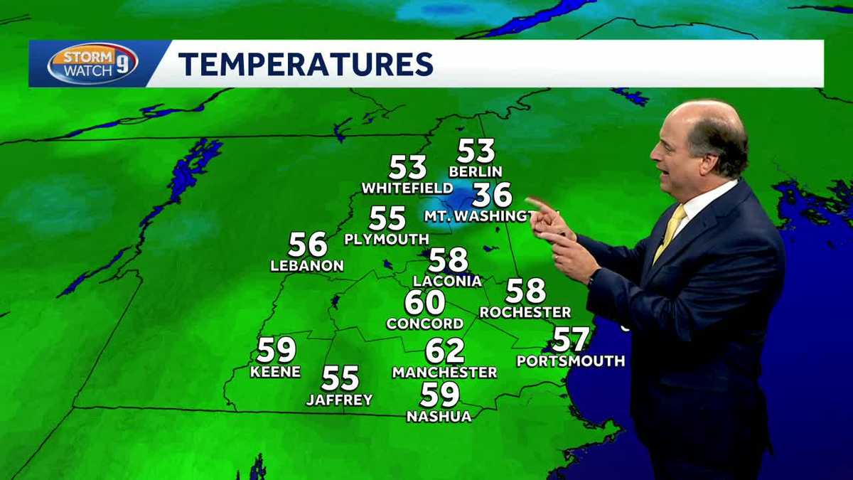 Video: Dry, cooler weather continues
A quiet stretch of weather persists this week as a coastal system misses us to the south. Overnight lows will drop into the 30s with a mostly clear sky. High pressure will continue to keep us dry through most of the…
-
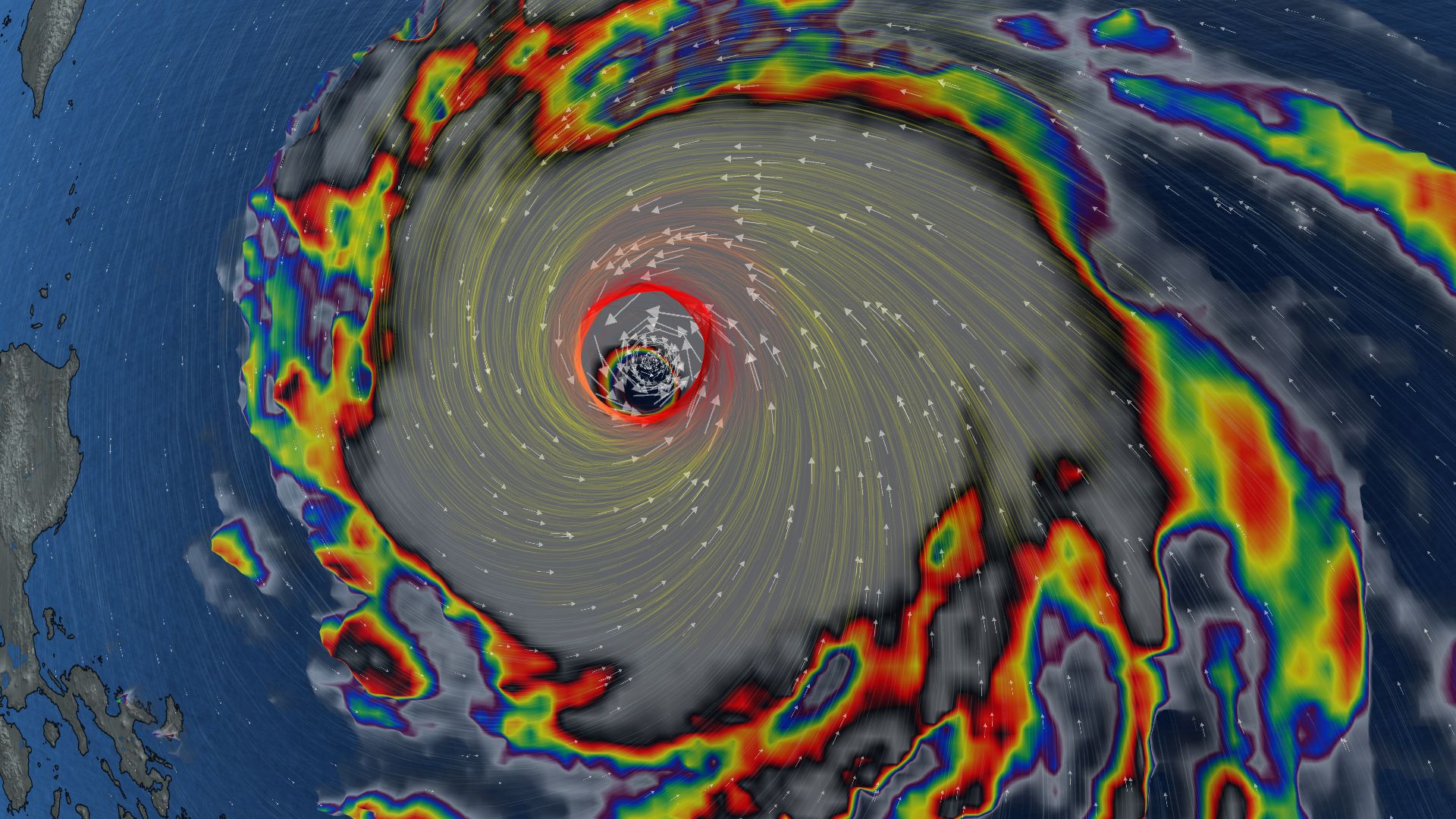 296 km/h: Super Typhoon Champi is now the strongest storm on Earth in 2026
In terms of wind speed, Super Typhoon Champi is the most powerful storm on Earth in 2026 so far, achieving the top storm spot with its peak winds of 296 km/h--the equivalent of a Category 5 storm Super Typhoon Champi…
-
 Waterspouts possible off Southern California amid stormy weather
Southern California's stormy forecast includes a chance of isolated waterspouts offshore. They may look like tornadoes, but they're not. Our latest explainer breaks down what waterspouts are, how they form over the…
-
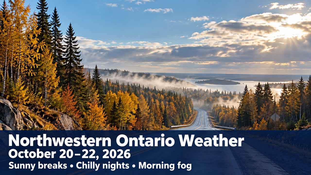 NetNewsLedger - Northwestern Ontario forecast for October 20 to 22, 2026
Thunder Bay – Weather – Forecast issued Tuesday, October 20, 2026 — Most of Northwestern Ontario can expect sunny or mainly sunny conditions over the next three days. Temperatures will reach the mid-teens during the…
Sun & moon
Nearby
- Nanaimo 42 km
- Courtenay 55 km
- Port Alberni 29 km
- Comox 52 km
- Powell River 54 km
- Parksville 10 km
- Sechelt 51 km
- Harewood 42 km
- Nanoose Bay 20 km
- Gabriola 47 km
- Lantzville 29 km
- Cumberland 52 km
Forecasts, observations and alerts in the United States come from the National Weather Service (NOAA); radar from NOAA's Multi-Radar Multi-Sensor system; satellite imagery from NASA's Global Imagery Browse Services (GIBS) and NOAA's GOES satellites; the map from the U.S. Geological Survey's National Map; air quality from AirNow (EPA and its partners); hurricane information from the National Hurricane Center; climate normals and records from NOAA's Regional Climate Centers (ACIS). Forecasts outside the United States and the UV index: MET Norway (CC BY 4.0); observations outside the U.S.: airport reports via NOAA's Aviation Weather Center. Place names: GeoNames (CC BY 4.0). Data are copied on a schedule and may lag the sources; for warnings that affect your safety, follow your local National Weather Service office and emergency officials. Weather news is drawn from the 4Search index and reflects what the press published. Terms of use.