Install
Pitt Meadows, British Columbia, Canada Weather
Current conditions
Observed at Pitt Meadows · 40 min ago
Forecast
10-day-
Friday
Fog. High 13°.
-
Friday Night
Fog. Low 6°.
-
Saturday
Heavy rain. High 9°. Precipitation 5.2 mm for the day.
MET Norway forecast updated 22 min ago.
Hourly
Hourly forecast- Now8°
- 03:008°
- 04:007°
- 05:007°
- 06:007°
- 07:006°
- 08:006°
- 09:007°
- 10:008°
- 11:009°
- 12:0011°
- 13:0012°
- 14:0013°
- 15:0013°
- 16:0013°
- 17:0012°
- 18:0010°
- 19:009°
- 20:008°
- 21:008°
- 22:007°
- 23:006°
- Sat00:006°
- 01:005°
Daily forecast
DetailsRadar
Full mapWeather news near Pitt Meadows
More weather news-
 Surrey Gritters Ready for Winter
One of the Surrey gritters ready for action. Gritter drivers will be available 24/7 to help out residents on the roads this winter, Surrey County Council has announced. The county’s busiest roads will be made safer by…
-
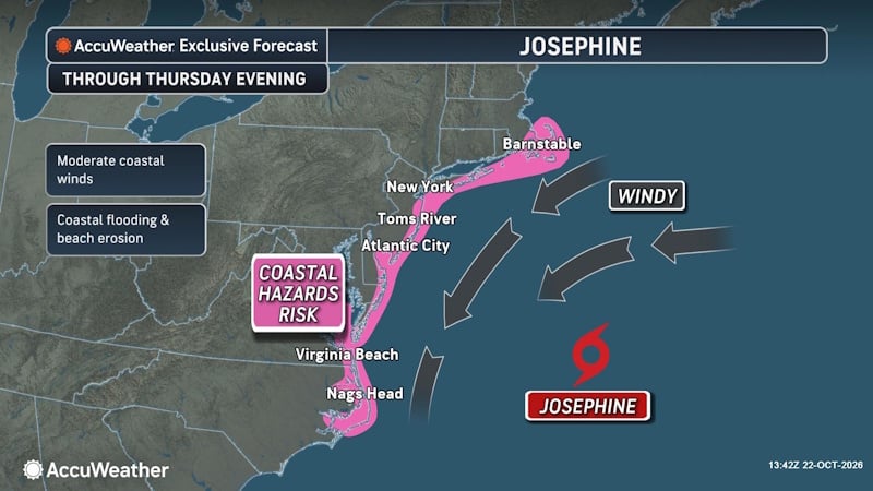 Subtropical Storm Josephine Forms Off East Coast, Threatening New England and Atlantic Canada
A powerful nor’easter that spent days churning off the East Coast has transformed into Subtropical Storm Josephine, becoming the 10th named storm of the 2026 Atlantic hurricane season. The storm is now threatening parts…
-
 Subtropical storm bringing rain and wind to parts of Atlantic Canada
Posted Oct 22, 2026 03:24:09 PM. Subtropical Storm Josephine is expected to bring heavy rain and wind to parts of Nova Scotia and Newfoundland Thursday and Friday. Environment Canada has issued yellow rainfall warnings…
-
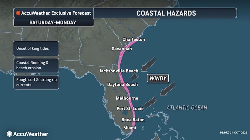 Offshore Nor’easter Strengthens into Subtropical Storm Josephine, Threatening Atlantic Canada
The window for Josephine to strengthen will close quickly as it encounters cooler water in the North Atlantic, but there is a small opportunity for intensification into Thursday and for it to strengthen into a hurricane…
-
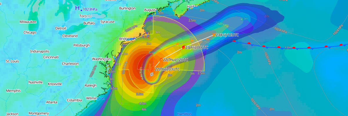 Josephine Set to Become Powerful Post-Tropical Cyclone off Atlantic Canada
The one-stop platform to enhance your offshore wind operations The all-in-one platform solution to optimize your maritime operations The one-stop platform to enhance youroffshore wind operations Weathernews API &…
-
 Canada issued new travel advisories for 7 popular vacation spots, including Japan and Mexico
Typhoons, hurricanes, protests and disease outbreaks have all led to new warnings. Global Affairs Canada updates its travel advice constantly. As nights get longer and temperatures plummet, plenty of Canadians are…
-
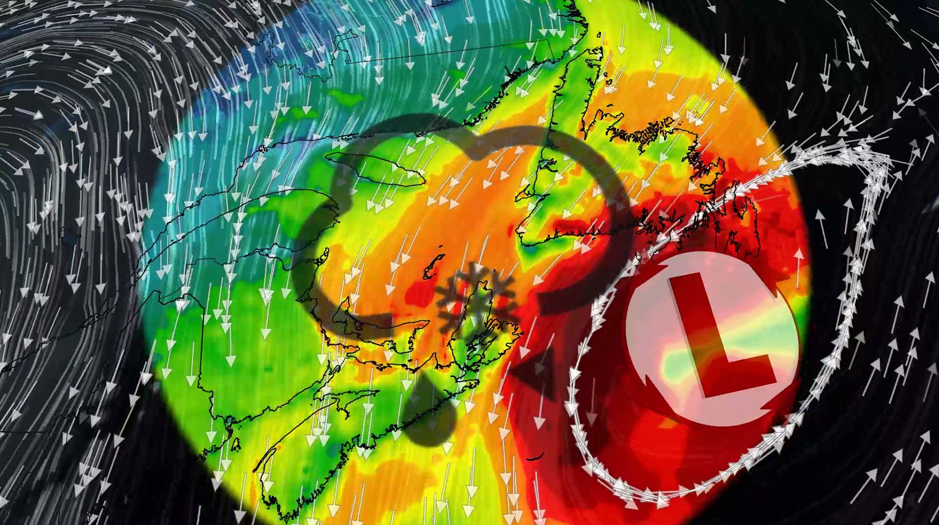 100+ km/h winds and snow: Nor'easter to clip Atlantic Canada this week
A comprehensive look at the developing nor'easter this week, including its potential for significant wind, rainfall, and possibly some snow for parts of Atlantic Canada Atlantic Canada may be in for a rough middle of…
-
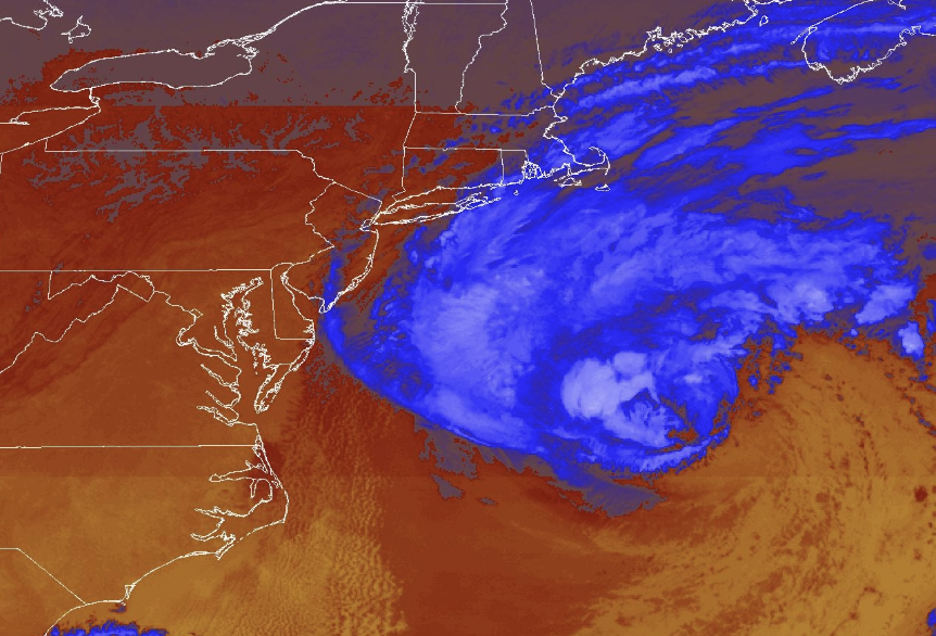 Nor'easter diverts cruise ships to chilly Canada instead of warm Bahamas and Bermuda
The difference in temperature between the original and new destinations is dramatic. Beautiful blue skies have dominated much of the eastern United States this week, without a drop of rain in many places. Yet that is…
-
 ‘Significant’ fall storm to hit northern Saskatchewan, 50 cm of snow possible
A significant fall storm is expected to hit northern Saskatchewan this weekend, according to Environment Canada. A significant fall storm is expected to hit northern Saskatchewan this weekend, according to Environment…
-
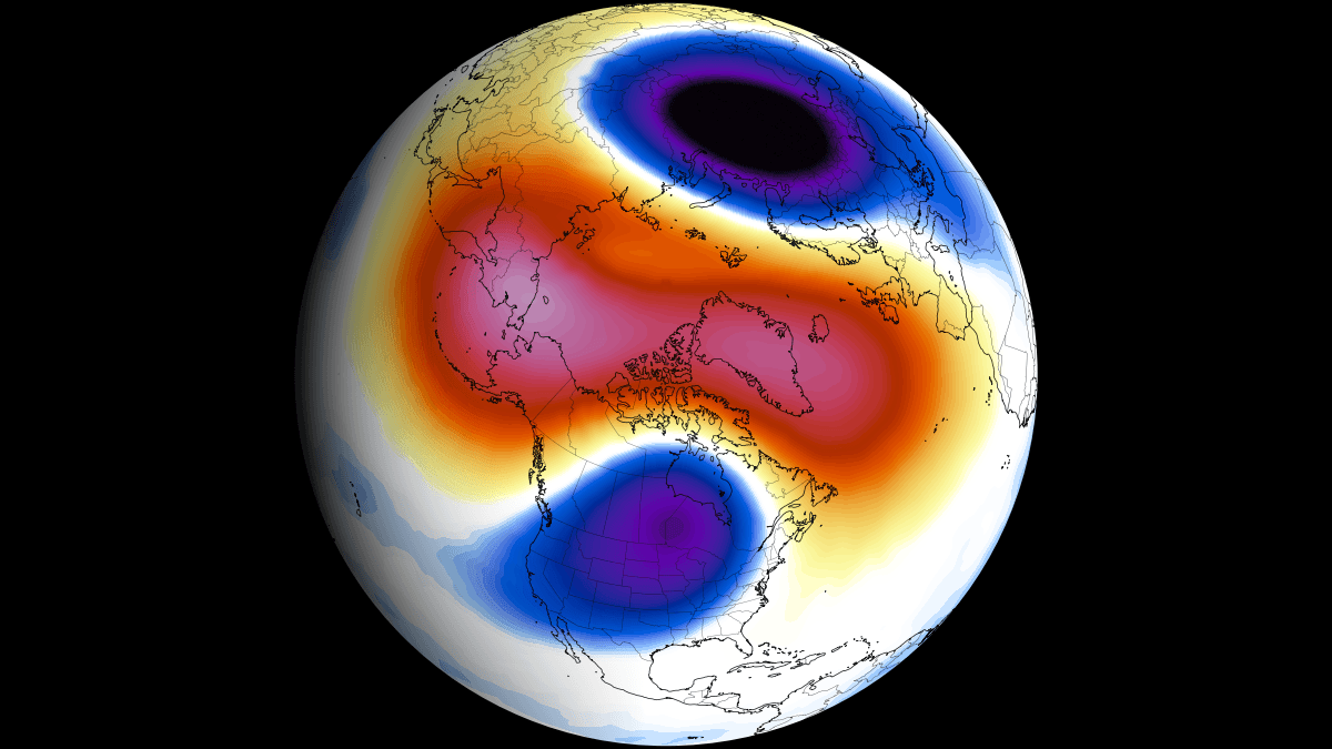 Polar Vortex Forecast: Live Maps, Latest Updates, and the Winter 2026/2027 Outlook
Global Weather News and Forecasts, covering the United States, Canada and Europe Polar Vortex is the broad winter circulation over the Northern (and Southern) Hemispheres. You can imagine the Polar Vortex as a spinning…
Sun & moon
Nearby
- Vancouver 31 km
- Surrey 16 km
- Burnaby 20 km
- Richmond 33 km
- Coquitlam 10 km
- Abbotsford 37 km
- Langley 14 km
- Delta 30 km
- Chilliwack 54 km
- North Vancouver 30 km
- Bellingham 53 km
- Maple Ridge 6 km
Forecasts, observations and alerts in the United States come from the National Weather Service (NOAA); radar from NOAA's Multi-Radar Multi-Sensor system; satellite imagery from NASA's Global Imagery Browse Services (GIBS) and NOAA's GOES satellites; the map from the U.S. Geological Survey's National Map; air quality from AirNow (EPA and its partners); hurricane information from the National Hurricane Center; climate normals and records from NOAA's Regional Climate Centers (ACIS). Forecasts outside the United States and the UV index: MET Norway (CC BY 4.0); observations outside the U.S.: airport reports via NOAA's Aviation Weather Center. Place names: GeoNames (CC BY 4.0). Data are copied on a schedule and may lag the sources; for warnings that affect your safety, follow your local National Weather Service office and emergency officials. Weather news is drawn from the 4Search index and reflects what the press published. Terms of use.