Install
Burin, Newfoundland and Labrador, Canada Weather
Current conditions
Forecast for this hour (no station report in the last two hours)
Forecast
10-day-
Thursday
Heavy rain. High 9°. Precipitation 15.3 mm for the day.
-
Thursday Night
Heavy rain. Low 6°. Precipitation 15.3 mm for the day.
-
Friday
Heavy rain. High 7°. Precipitation 16.9 mm for the day.
MET Norway forecast updated 1 day ago.
Hourly
Hourly forecast- Now7°3.3
- 15:307°3.7
- 16:307°1.1
- 17:307°0.6
- 18:307°1.2
- 19:307°
- 20:307°
- 21:307°
- 22:307°
- 23:307°
- Fri00:307°
- 01:307°
- 02:307°0.2
- 03:307°1.4
- 04:306°0.2
- 05:306°0.5
- 06:306°0.5
- 07:306°0.8
- 08:306°1.4
- 09:305°2.6
- 10:305°1.7
- 11:305°1.7
- 12:305°1.6
- 13:305°1.3
Daily forecast
DetailsRadar
Full mapWeather news in Canada
More weather news-
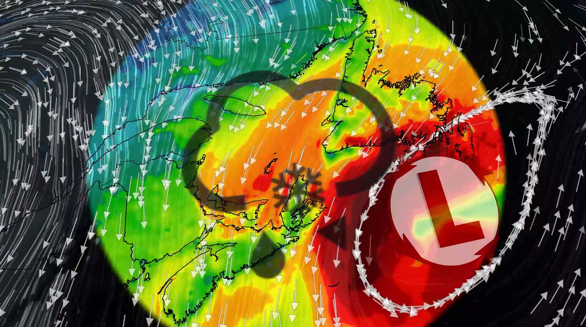 100+ km/h winds and snow: Nor'easter to clip Atlantic Canada this week
A comprehensive look at the developing nor'easter this week, including its potential for significant wind, rainfall, and possibly some snow for parts of Atlantic Canada Atlantic Canada may be in for a rough middle of…
-
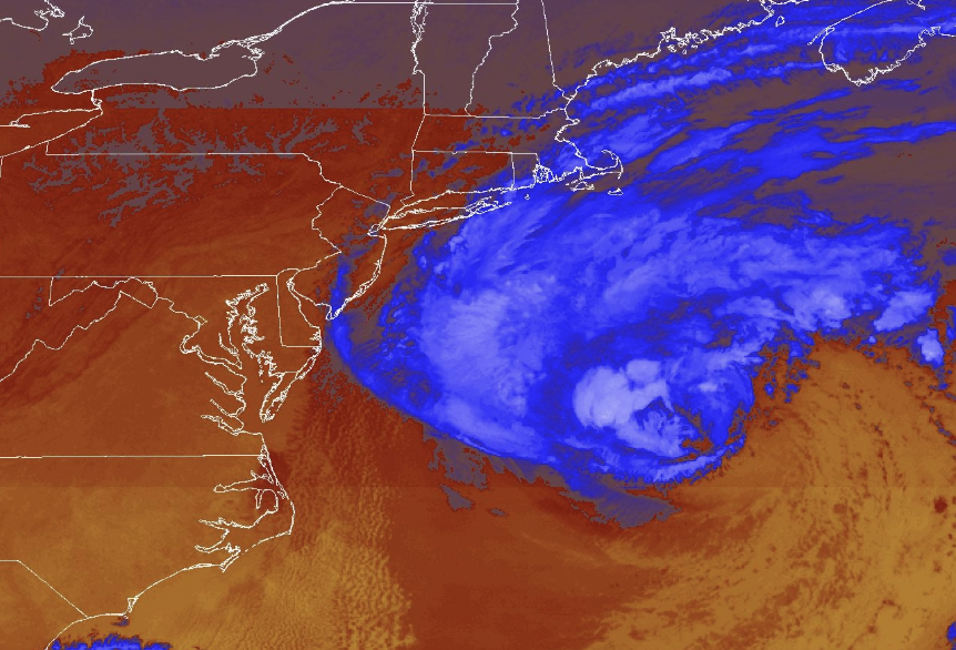 Nor'easter diverts cruise ships to chilly Canada instead of warm Bahamas and Bermuda
The difference in temperature between the original and new destinations is dramatic. Beautiful blue skies have dominated much of the eastern United States this week, without a drop of rain in many places. Yet that is…
-
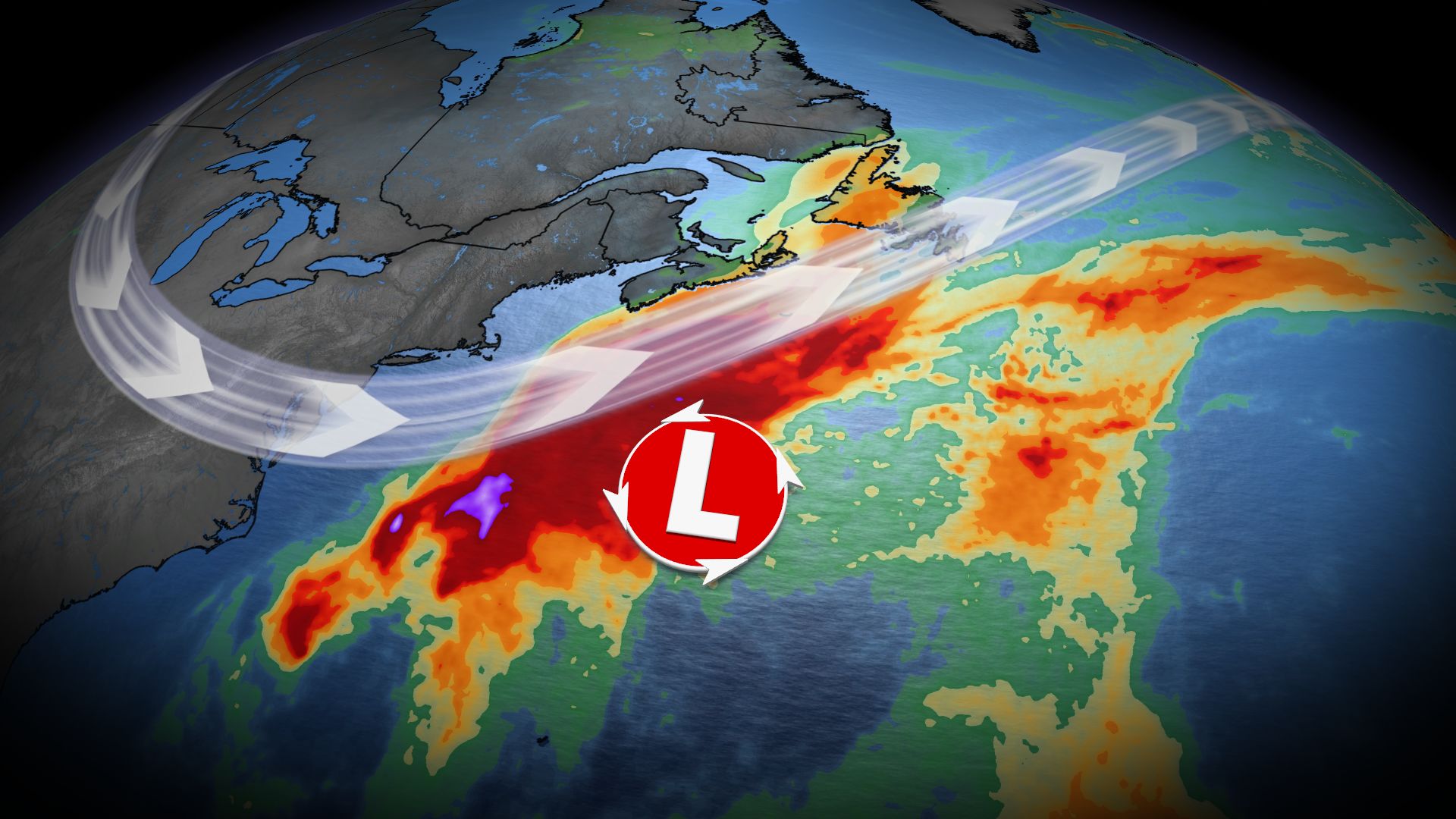 Nor’easter may impact Atlantic Canada late this week as forecasters track developing low-pressure system
Home » Trending » Nor’easter may impact Atlantic Canada late this week as forecasters track developing low-pressure system Atlantic Canada could face significant weather challenges later this week as meteorologists…
-
 A calm day before a system moves in: Your Morning Atlantic weather
CTV News A calm day before a system moves in: Your Morning Atlantic weather A nor’easter will impact the region Wednesday night. Lataevia Beezer shares your Atlantic Canadian weather forecast.
-
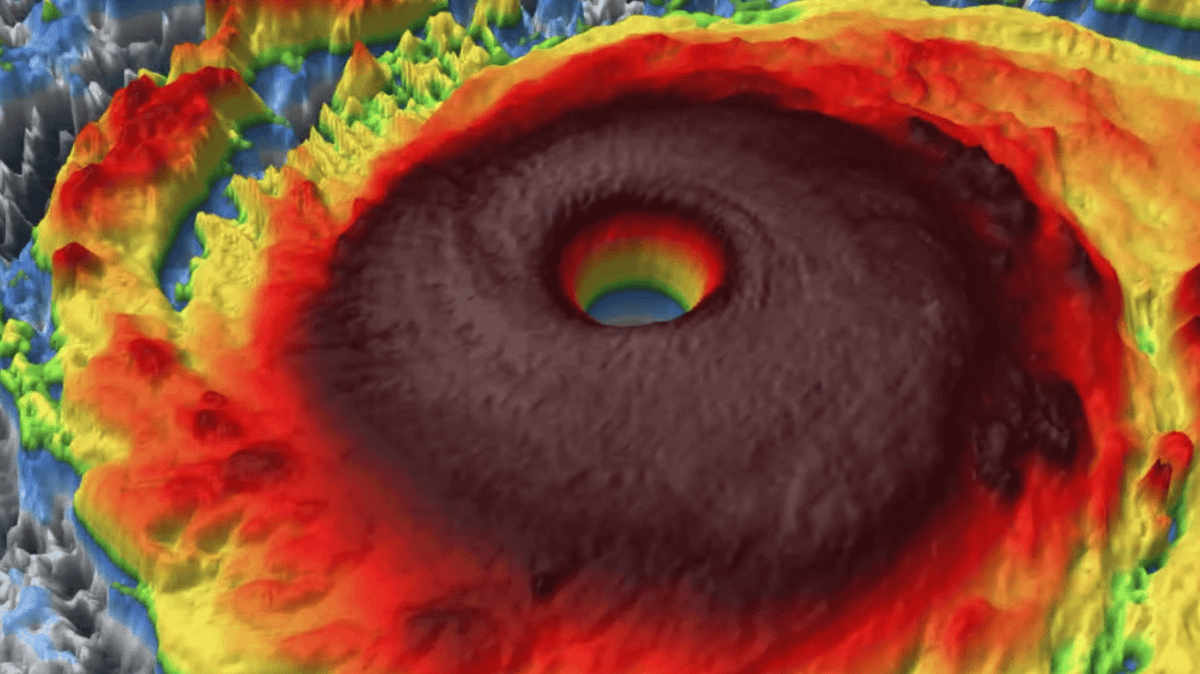 Super Typhoon Champi intensifies to become strongest storm on Earth in 2026 equivalent of Category 5
The storm is also tugging on the jet stream, with effects expected to be felt as far as Canada Super Typhoon Champi has become the world’s strongest tropical cyclone of 2026 when measured by wind speed, with peak winds…
-
 Subtropical Storm Josephine forms in Atlantic; 2 more areas showing potential tropical development
Offshore storms could prolong beach erosion, coastal flooding and dangerous rip currents into next week, with one storm becoming Subtropical Storm Josephine on Wednesday. Published Oct 21, 2026 2:08 PM EDT | Updated Oct…
-
 Bryan Norcross: Coastal impacts continue as the nor'easter #93L makes a run at morphing into Josephine
LATEST FROM FOX WEATHER HURRICANE SPECIALIST BRYAN NORCROSS Atlantic Basin on Oct. 21, 2026. (FOX Weather / FOX Weather) Stay aware of local forecasts for coastal sections. As the storm slowly moves to the north and…
-
 Toronto’s Oct. 21 forecast: Sunny
The daytime high is expected to reach 15 C Environment Canada is forecasting a sunny morning in Toronto. The daytime high is expected to reach 15 C. Friday: Sunny with a high of 14 C and clear at night with a low of 1 C…
-
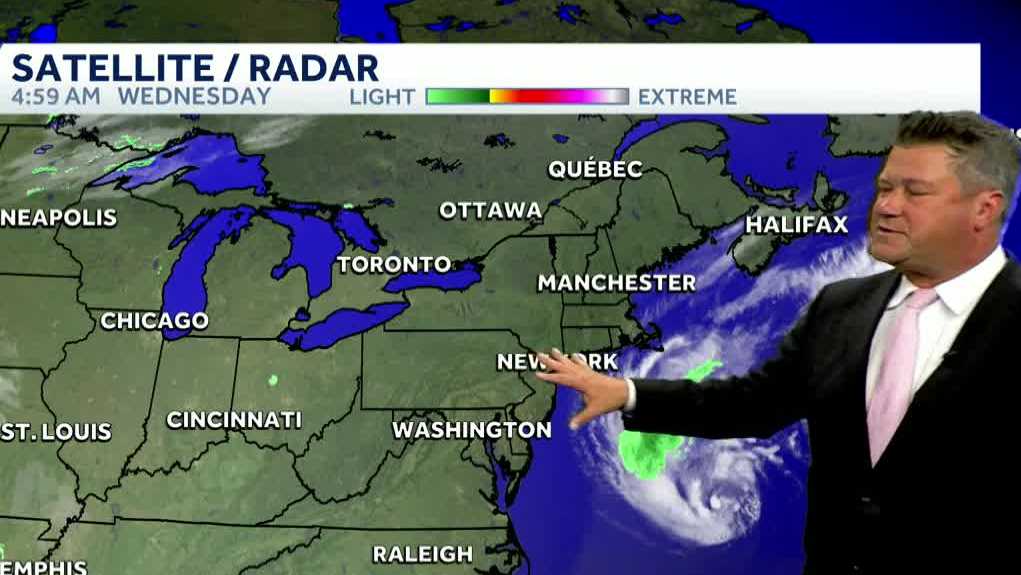 Video: Nice stretch of weather ahead
The quiet stretch of weather continues this week as a coastal system misses us to the south. High pressure will continue to keep us dry through most of the workweek. Today will be cooler with highs back in the 50s, and…
-
 Atlantic storms to bring East Coast beach erosion, coastal flooding; tropical development risk
A series of offshore storms will bring dangerous surf, beach erosion and coastal flooding to parts of the Atlantic Coast through this weekend, even as much of the eastern United States enjoys sunshine. As one storm…
Sun & moon
Nearby
- Marystown 10 km
- Grand Bank 44 km
Forecasts, observations and alerts in the United States come from the National Weather Service (NOAA); radar from NOAA's Multi-Radar Multi-Sensor system; satellite imagery from NASA's Global Imagery Browse Services (GIBS) and NOAA's GOES satellites; the map from the U.S. Geological Survey's National Map; air quality from AirNow (EPA and its partners); hurricane information from the National Hurricane Center; climate normals and records from NOAA's Regional Climate Centers (ACIS). Forecasts outside the United States and the UV index: MET Norway (CC BY 4.0); observations outside the U.S.: airport reports via NOAA's Aviation Weather Center. Place names: GeoNames (CC BY 4.0). Data are copied on a schedule and may lag the sources; for warnings that affect your safety, follow your local National Weather Service office and emergency officials. Weather news is drawn from the 4Search index and reflects what the press published. Terms of use.