Install
Burrell Boom, Belize District, Belize Weather
Current conditions
Forecast for this hour (no station report in the last two hours)
Forecast
10-day-
Thursday
Heavy rain. High 28°. Precipitation 7.8 mm for the day.
-
Thursday Night
Rain. Low 23°. Precipitation 7.8 mm for the day.
-
Friday
Heavy showers. High 30°. Precipitation 2.9 mm for the day.
MET Norway forecast updated 17 hrs ago.
Hourly
Hourly forecast- Now23°0.4
- 05:0023°
- 06:0023°0.2
- 07:0024°
- 08:0025°0.3
- 09:0025°
- 10:0027°
- 11:0028°3.1
- 12:0024°1.1
- 13:0025°0.2
- 14:0027°0.6
- 15:0027°0.5
- 16:0026°0.6
- 17:0025°
- 18:0024°
- 19:0024°
- 20:0024°0.4
- 21:0023°0.2
- 22:0023°
- 23:0023°
- Fri00:0023°
- 01:0023°
- 02:0023°
- 03:0023°
Daily forecast
DetailsRadar
Full mapWeather news in Belize
More weather news-
 Belize gets mostly sunny weather with a few showers in the north and inland
By Breaking Belize News Staff (HP): Belize can expect a mostly sunny Wednesday with only scattered showers, according to the National Meteorological Service. A light and slightly moist north northeast airflow prevails…
-
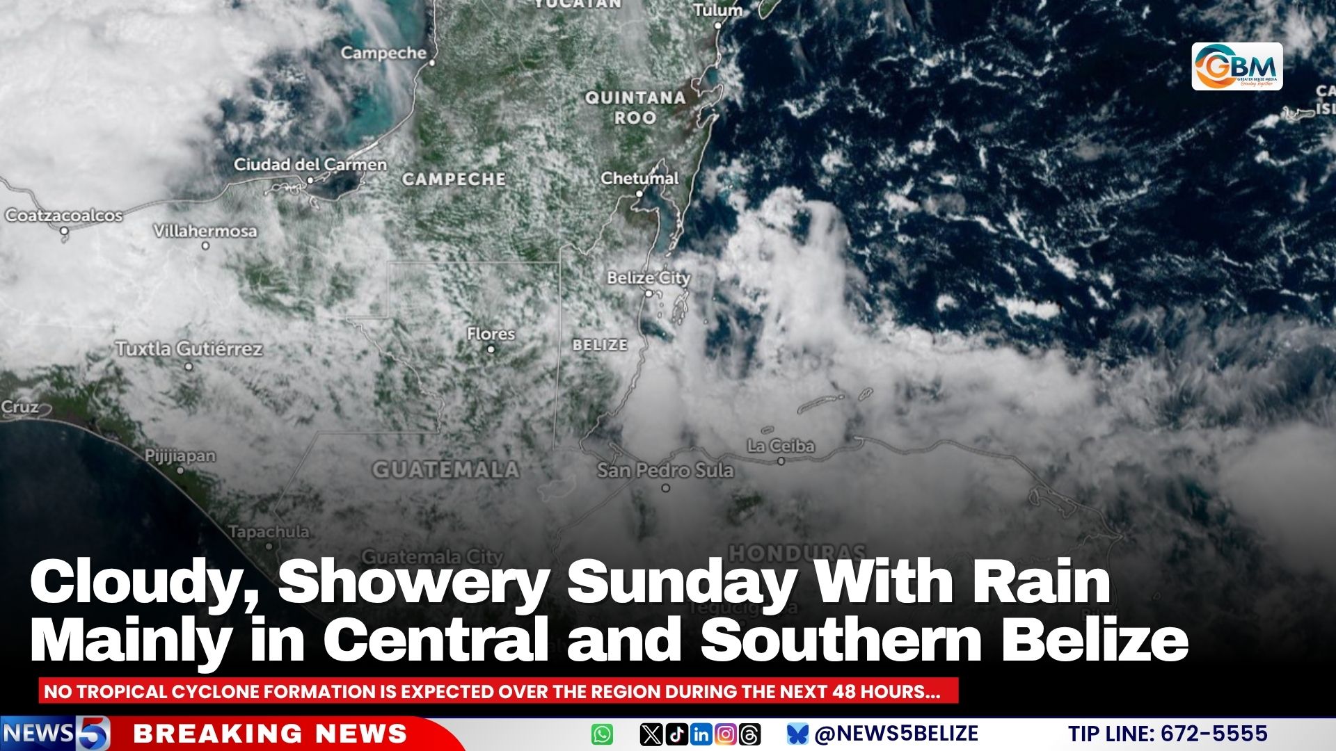 Cloudy, Showery Sunday With Rain Mainly in Central and Southern Belize
A few showers or periods of light to moderate rain are likely across Belize, especially over central and southern areas, according to the National Meteorological Service’s afternoon forecast issued at 12:01 p.m. Sunday…
-
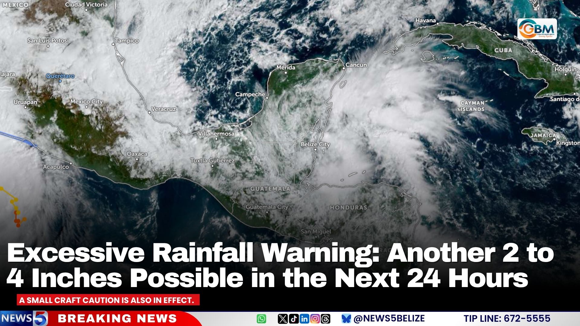 Excessive Rainfall Warning: Another 2 to 4 Inches Possible in the Next 24 Hours
An excessive rainfall warning is in effect for Belize, with an additional two to four inches of rain possible over some areas during the next 24 hours or so. Residents are advised to monitor the weather situation and…
-
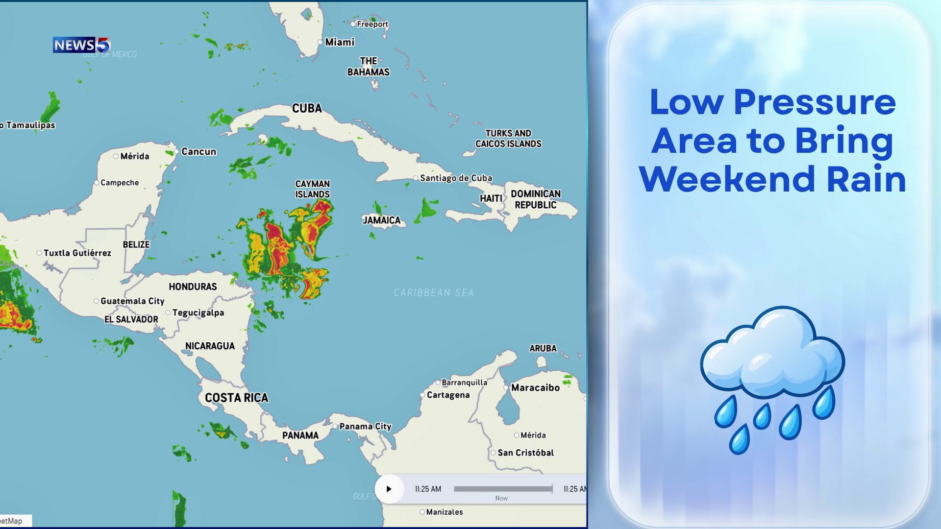 Downpours Could Drench Belize Through Weekend
Keep the umbrellas close and the weekend plans flexible. An area of low pressure near Honduras and Nicaragua could begin soaking Belize as early as tonight, bringing increased showers and thunderstorms through the…
- Orange Walk, Orange Walk, Belize Conditionsstar_ratehome
Orange Walk, Orange Walk, Belize Conditions Weather Underground Orange Walk, Orange Walk, Belize Conditionsstar_ratehome Thank you for reporting this station. We will review the data in question. You are about to report…
Sun & moon
Nearby
- Belize City 23 km
- Orange Walk 59 km
- Belmopan 52 km
- Ladyville 12 km
- Lord’s Bank 8 km
- Shipyard 45 km
- Guinea Grass 49 km
- Valley of Peace 52 km
- Camelote 58 km
- Caye Caulker 44 km
- Roaring Creek 54 km
- Armenia 59 km
Forecasts, observations and alerts in the United States come from the National Weather Service (NOAA); radar from NOAA's Multi-Radar Multi-Sensor system; satellite imagery from NASA's Global Imagery Browse Services (GIBS) and NOAA's GOES satellites; the map from the U.S. Geological Survey's National Map; air quality from AirNow (EPA and its partners); hurricane information from the National Hurricane Center; climate normals and records from NOAA's Regional Climate Centers (ACIS). Forecasts outside the United States and the UV index: MET Norway (CC BY 4.0); observations outside the U.S.: airport reports via NOAA's Aviation Weather Center. Place names: GeoNames (CC BY 4.0). Data are copied on a schedule and may lag the sources; for warnings that affect your safety, follow your local National Weather Service office and emergency officials. Weather news is drawn from the 4Search index and reflects what the press published. Terms of use.