Install
Tapes, Rio Grande do Sul, Brazil Weather
Current conditions
Forecast for this hour (no station report in the last two hours)
Forecast
10-day-
Wednesday
Light rain. High 20°. Precipitation 0.3 mm for the day.
-
Wednesday Night
Partly cloudy. Low 16°. Precipitation 0.3 mm for the day.
-
Thursday
Cloudy. High 22°. Precipitation 0.7 mm for the day.
MET Norway forecast updated 13 hrs ago.
Hourly
Hourly forecast- Now18°
- 19:0017°
- 20:0017°
- 21:0017°
- 22:0017°
- 23:0017°
- Thu00:0017°
- 01:0017°
- 02:0017°
- 03:0017°
- 04:0017°
- 05:0017°
- 06:0018°
- 07:0018°
- 08:0019°
- 09:0020°
- 10:0020°
- 11:0021°
- 12:0021°
- 13:0022°
- 14:0022°
- 15:0021°
- 16:0021°
- 17:0020°
Daily forecast
DetailsRadar
Full mapWeather news near Tapes
More weather news-
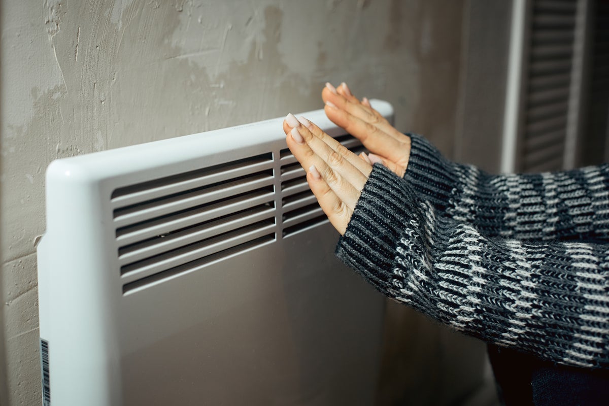 Nine expert tips for staying warm at home without turning up the heating
There are several tricks and tips for keeping warm and cosy during cold weather With temperatures dipping across the UK, experts have revealed how to stay warm at home during the cooler months without turning the…
-
 Lincoln Water System urges residents to protect pipes against cold weather
KLKN-TV Lincoln Water System urges residents to protect pipes against cold weather LINCOLN, Neb. (KLKN) — The Lincoln Water System (LWS) is reminding property owners, renters and residents to protect their pipes from…
-
 Tropical Storm Trudy has formed in the Pacific Ocean
Northeast Mississippi Daily Journal A tourist walks on the beach after the passing of Hurricane Simon in Puerto Vallarta, Mexico, Monday, Oct. 12, 2026. A man stands at the entrance to a pier closed off with caution…
-
 Rain moves through Phoenix area as temps cool down
AZ Family Rain moves through Phoenix area as temps cool down How Scottsdale is cracking down on rental house parties Arizona man duct-taped on flight could face 20 years in prison Nearly 40 victims ID'd in Tempe school…
- Remnants of Hurricane Rachel Will Bring Rain to Grand Junction This Weekend
Here’s a sentence you don’t get to write very often in a Grand Junction weather story: a hurricane is going to help water your lawn this weekend. Before anybody starts taping up windows, relax. Nothing with an eye and a…
-
 LatAm Expat & Nomad Daily Guide for Tuesday, October 20, 2026
LatAm Expat & Nomad Daily Guide — Tuesday, October 20, 2026 As of 12:30 a.m. US Eastern Time (ET) · 1:30 a.m. Brasília, Tuesday 20 October 2026 · storm bulletin to Monday night, rates to the latest published fixing…
- A ‘super’ El Niño is impacting weather globally – here's how it could affect travel plans now and in the future
El Niño has officially arrived, and some forecasters are suggesting it could eventually develop into a rare “super” event capable of dramatically altering weather patterns across much of the planet, from the safari…
-
 First rain of the season to arrive in Bay Area Tuesday night
SAN FRANCISCO (KRON) -- The first rain of the season is due to arrive in the Bay Area Tuesday night, according to the National Weather Service. The NWS is advising of rain showers continuing through Thursday morning…
-
 LatAm Expat & Nomad Daily Guide for Monday, October 19, 2026
LatAm Expat & Nomad Daily Guide — Monday, October 19, 2026 As of 12:30 a.m. US Eastern Time (ET) · 1:30 a.m. Brasília, Monday 19 October 2026 · storm bulletins to Sunday night, rates to the latest published fixing…
- Phoenix Weather Windy Saturday Rain Chances Cooler Midweek
Before sunrise Saturday, mostly cloudy skies and strong easterly winds were already pushing across the Valley. The city is headed for a high near 81, with a slight chance of rain arriving late in the afternoon. East…
Sun & moon
Nearby
- Camaquã 44 km
- Barra do Ribeiro 43 km
- Cerro Grande do Sul 35 km
- Barão do Triunfo 45 km
- Sertão Santana 31 km
- Sentinela do Sul 19 km
- Chuvisca 56 km
- Arambaré 29 km
- Mariana Pimentel 40 km
Forecasts, observations and alerts in the United States come from the National Weather Service (NOAA); radar from NOAA's Multi-Radar Multi-Sensor system; satellite imagery from NASA's Global Imagery Browse Services (GIBS) and NOAA's GOES satellites; the map from the U.S. Geological Survey's National Map; air quality from AirNow (EPA and its partners); hurricane information from the National Hurricane Center; climate normals and records from NOAA's Regional Climate Centers (ACIS). Forecasts outside the United States and the UV index: MET Norway (CC BY 4.0); observations outside the U.S.: airport reports via NOAA's Aviation Weather Center. Place names: GeoNames (CC BY 4.0). Data are copied on a schedule and may lag the sources; for warnings that affect your safety, follow your local National Weather Service office and emergency officials. Weather news is drawn from the 4Search index and reflects what the press published. Terms of use.