Install
Datas, Minas Gerais, Brazil Weather
Current conditions
Forecast for this hour (no station report in the last two hours)
Forecast
10-day-
Wednesday
Showers. High 25°. Precipitation 1.2 mm for the day.
-
Wednesday Night
Cloudy. Low 16°. Precipitation 1.2 mm for the day.
-
Thursday
Rain. High 26°. Precipitation 2.3 mm for the day.
MET Norway forecast updated 20 hrs ago.
Hourly
Hourly forecast- Now21°
- 19:0020°
- 20:0019°
- 21:0019°
- 22:0018°
- 23:0018°
- Thu00:0018°
- 01:0018°
- 02:0018°
- 03:0018°
- 04:0017°
- 05:0017°
- 06:0017°
- 07:0019°
- 08:0021°
- 09:0023°
- 10:0025°
- 11:0026°0.3
- 12:0026°0.2
- 13:0026°
- 14:0026°0.2
- 15:0026°0.3
- 16:0024°0.3
- 17:0023°
Daily forecast
DetailsRadar
Full mapWeather news near Datas
More weather news-
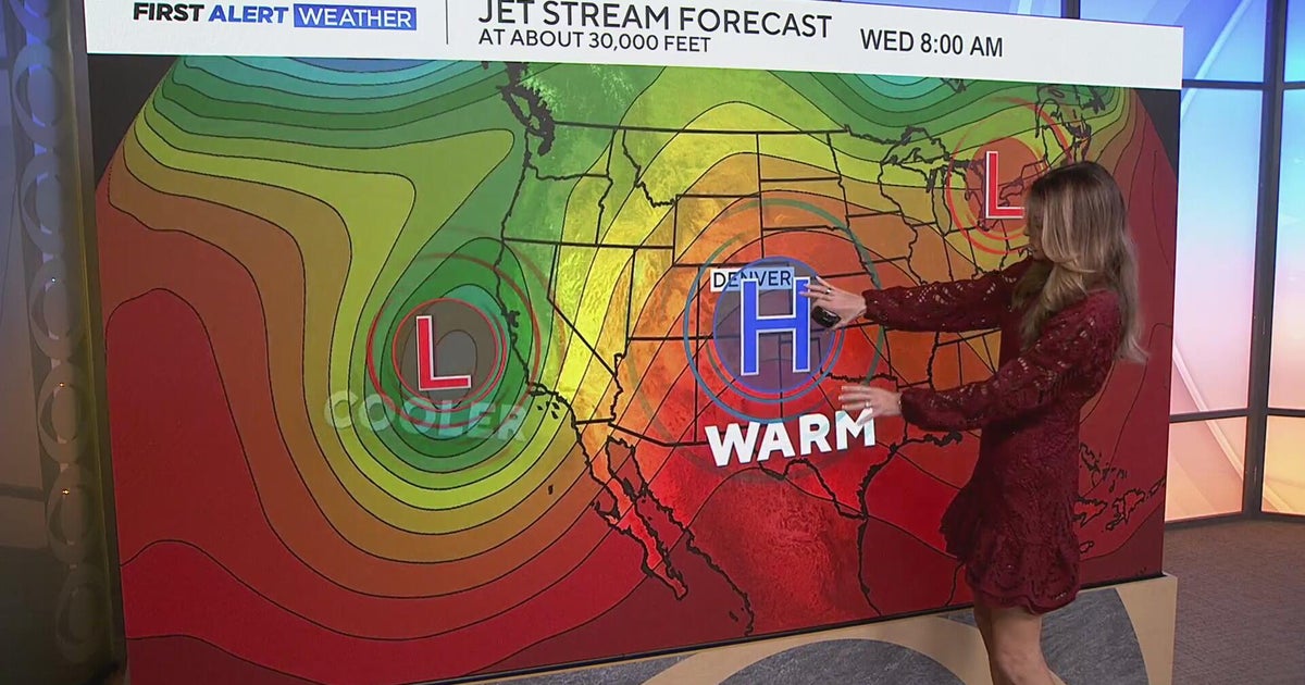 Staying warm and mild for the Denver metro with more mountain rain expected
CBS News Staying warm and mild for the Denver metro with more mountain rain expected Heavy rain, flash flooding expected in southwestern Colorado Colorado Department of Transportation trucks unveiled to protect…
-
 LatAm Expat & Nomad Daily Guide for Tuesday, October 20, 2026
LatAm Expat & Nomad Daily Guide — Tuesday, October 20, 2026 As of 12:30 a.m. US Eastern Time (ET) · 1:30 a.m. Brasília, Tuesday 20 October 2026 · storm bulletin to Monday night, rates to the latest published fixing…
-
 Fall weather is finally here in Maryland. But will it stay?
Maryland will continue to see cooler temperatures, complementing the beginning of changing leaves, wearing sweaters and Halloween festivities as the state enters autumn. "We finally have kind of seen a full transition…
-
 First Alert: Gradually turning warmer in an extended sunny and dry stretch
WSFA MONTGOMERY, Ala. (WSFA) - Fall is in full swing across central and southern Alabama with plenty of sunshine, seasonable temperatures, and no rain chances sticking around for the next several days. The afternoons…
-
 Good morning, Sault Ste. Marie! Here's today's weather!
SooLeader.com Good morning, Sault Ste. Marie! Here's today's weather! This has been shared 0 times Get your daily Sault Ste. Marie news briefing Sunshine and a few clouds Intervals of clouds and sunshine Clear to partly…
-
 Good Morning, Statesboro! Here's the cheapest gas!
Grice Connect Good Morning, Statesboro! Here's the cheapest gas! This has been shared 0 times Comfortable with plenty of sunshine; excessive dry weather will result in a high fire threat Pleasant with plenty of sunshine…
-
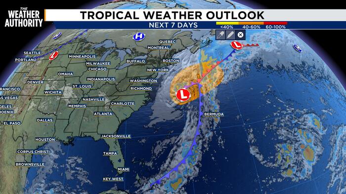 Invest 93 Could Gain Subtropical Traits Over Gulf Stream
Keeping an eye on Invest 93 as it moves offshore the Atlantic coast. A storm-force non-tropical low pressure area located a few hundred miles off the North Carolina coast is producing shower and thunderstorm activity…
-
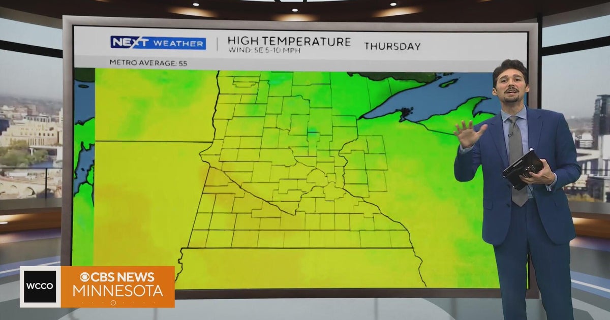 Minnesota weather stays unusually warm, with highs 15 to 20 degrees above normal | Oct. 20, 2026
CBS News Minnesota weather stays unusually warm, with highs 15 to 20 degrees above normal | Oct. 20, 2026 Preview: Golf 101 at Park 365 in Roseville Twin Cities man, 18, accused in MOA terror plot, and more headlines…
-
 Weather Forecast: Afternoon Sun Returns as High Pressure Holds Firm
A few mid-level clouds are drifting through the Finger Lakes this midday ahead of an upper-level trough, but clearing skies and sunshine are on the way back ... Our records show you're subscribed. The clouds drifting…
-
 Mumbai weather update: Hazy skies, humid conditions persist as mercury touches 37 deg C
The city recorded unusually high daytime temperatures on Tuesday, with the Colaba observatory registering a maximum of 37.3 degrees Celsius and Santacruz recording 37.1 degrees Celsius, according to reported IMD…
Sun & moon
Nearby
- Diamantina 23 km
- Serro 34 km
- Gouveia 9 km
- Felício dos Santos 60 km
- Congonhas do Norte 40 km
- Couto de Magalhães de Minas 46 km
- Alvorada de Minas 45 km
- Santo Antônio do Itambé 37 km
- Serra Azul de Minas 52 km
- São Gonçalo do Rio Preto 57 km
- Monjolos 51 km
Forecasts, observations and alerts in the United States come from the National Weather Service (NOAA); radar from NOAA's Multi-Radar Multi-Sensor system; satellite imagery from NASA's Global Imagery Browse Services (GIBS) and NOAA's GOES satellites; the map from the U.S. Geological Survey's National Map; air quality from AirNow (EPA and its partners); hurricane information from the National Hurricane Center; climate normals and records from NOAA's Regional Climate Centers (ACIS). Forecasts outside the United States and the UV index: MET Norway (CC BY 4.0); observations outside the U.S.: airport reports via NOAA's Aviation Weather Center. Place names: GeoNames (CC BY 4.0). Data are copied on a schedule and may lag the sources; for warnings that affect your safety, follow your local National Weather Service office and emergency officials. Weather news is drawn from the 4Search index and reflects what the press published. Terms of use.