Install
Waterloo, Wallonia, Belgium Weather
Current conditions
Observed at Brussels Intl · 34 min ago
Forecast
10-day-
Wednesday
Rain. High 12°. Precipitation 1.4 mm for the day.
-
Wednesday Night
Cloudy. Low 8°. Precipitation 1.4 mm for the day.
-
Thursday
Heavy rain. High 13°. Precipitation 3.7 mm for the day.
MET Norway forecast updated 1 day ago.
Hourly
Hourly forecast- Now8°
- Thu00:008°
- 01:008°
- 02:007°
- 03:007°
- 04:007°
- 05:007°
- 06:007°
- 07:007°
- 08:007°
- 09:008°
- 10:009°
- 11:0010°0.7
- 12:0010°1.6
- 13:0010°
- 14:0012°
- 15:0012°
- 16:0013°0.6
- 17:0012°0.2
- 18:0012°0.3
- 19:0011°
- 20:0010°
- 21:0010°
- 22:0010°
Daily forecast
DetailsRadar
Full mapWeather news near Waterloo
More weather news-
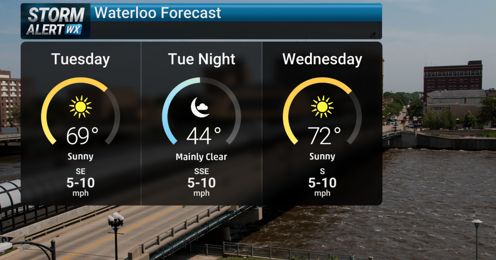 Mostly dry, seasonally warm weather
Tonight, expect mostly dry and quiet conditions across Waterloo and surrounding areas of northern and central Iowa. Overnight temperatures will remain cool under clear skies, with light winds persisting. We will…
-
 Sunshine takes over Waterloo Region’s forecast for upcoming week
Posted Oct 18, 2026 10:57:24 AM. The Environment Canada forecast says sunny skies will stick around all day on Sunday, with some light cloud coverage in the afternoon. Sunday’s high will reach a mild 14°C, with…
-
 Mostly sunny, dry, and warming
Plenty of sunshine, dry weather, and gradually warming temperatures this week CEDAR RAPIDS, Iowa (KCRG) - We’ve got great weather headed our way this week! The rest of the week will bring similar conditions each day…
-
 Dangerous Freeze Warnings Issued for Iowa, Wisconsin, Minnesota and Illinois as Temperatures Drop
Freeze Warnings take effect early Saturday across much of Iowa, Wisconsin, southeast and central Minnesota and northern Illinois, with lows as cold as 26 degrees expected. Seven National Weather Service offices issued…
-
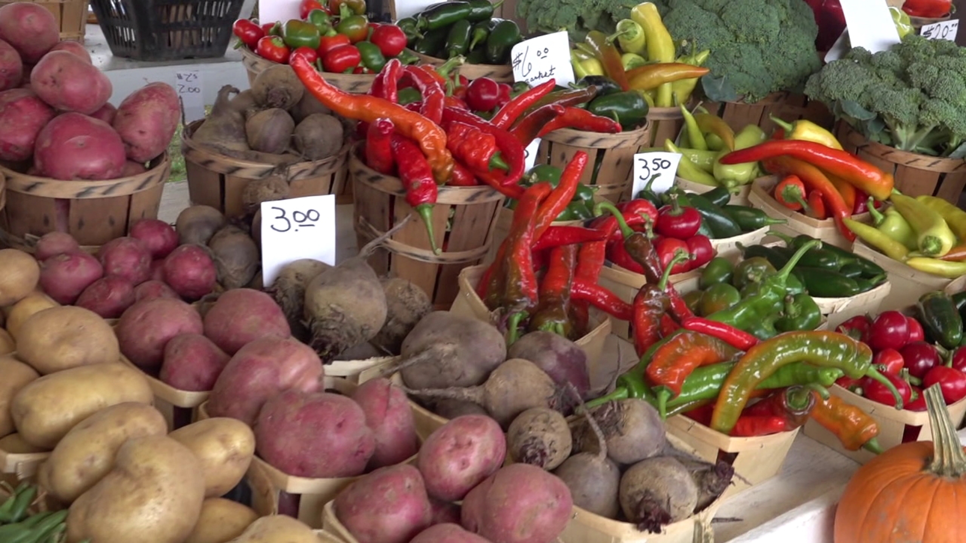 Farmers prepare for first widespread freeze of fall
LUZERNE COUNTY, Pa. — Growers are preparing for the incoming freeze on Sunday morning. Temperatures are expected to be below the freezing mark. It'll be the coldest some have been since mid-May. "Today, tomorrow…
-
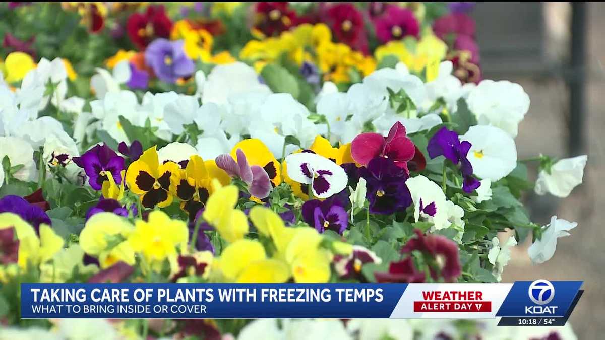 Garden expert shares tips to protect plants from freezing temps
Freezing temperatures have already descended on parts of New Mexico, prompting advice from botanical experts on how to protect plants during frigid conditions. "Anything that's really cold-tender, like your herbs, your…
-
 Freeze Watch issued for Wayne, Northern Cayuga counties Saturday night through Sunday morning
A Freeze Watch has been issued for Wayne and Northern Cayuga counties from late Saturday night through Sunday morning. Sub-freezing temperatures are expected, particularly in areas inland from Lake Ontario, with frost…
-
 Be prepared for gusty showers in Finger Lakes, Southern Tier Friday midday — gusts could peak at 40 mph
A report from the National Weather Service was issued on Friday at 10:10 a.m. for gusty showers until 11:15 a.m. for Yates, Seneca, Cayuga, Steuben and Schuyler counties. Residents can expect wind gusts of up to 40 mph…
-
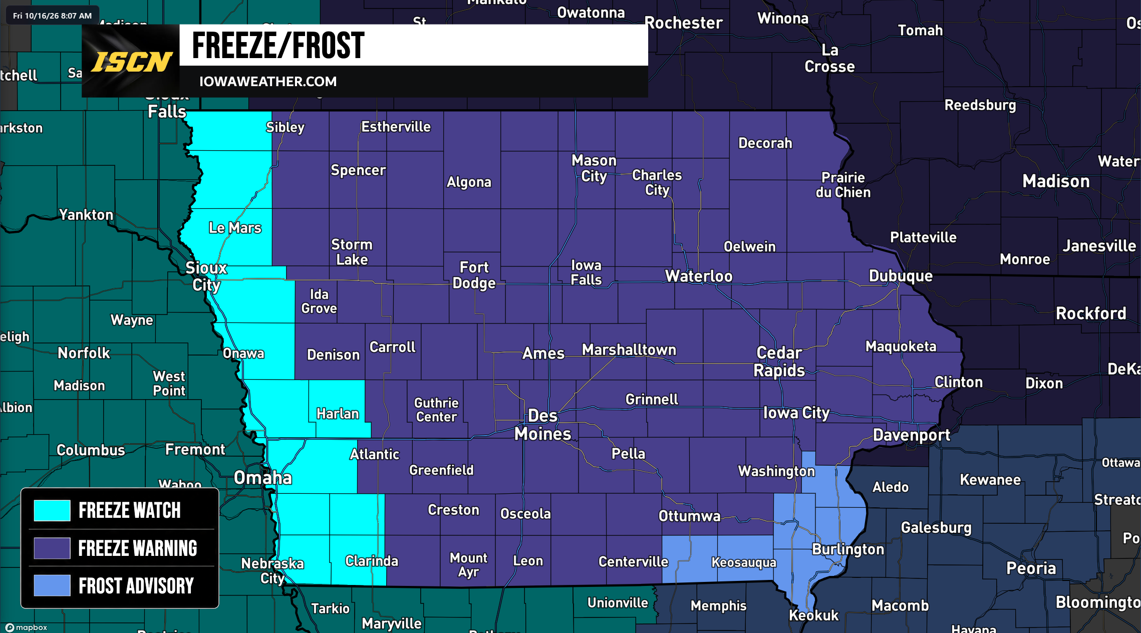 Widespread Freeze Warnings Issued Across Iowa as Temperatures Could Drop Into the 20s Saturday Morning
A widespread round of freezing temperatures is expected across Iowa early Saturday morning, prompting the National Weather Service to issue Freeze Warnings, Freeze Watches, and Frost Advisories for the entire state…
-
 Sioux Falls could see freezing temps Saturday morning
Multiple southeastern South Dakota counties will be under the first freeze watch ahead of the winter season overnight Friday and into Saturday morning, according to an alert issued Thursday night by the National Weather…
Sun & moon
Nearby
- Brussels 16 km
- Charleroi 34 km
- Anderlecht 15 km
- Schaerbeek 17 km
- Leuven 28 km
- Molenbeek-Saint-Jean 16 km
- Ixelles 13 km
- Uccle 11 km
- Aalst 35 km
- Mechelen 35 km
- La Louvière 29 km
- Woluwe-Saint-Lambert 15 km
Forecasts, observations and alerts in the United States come from the National Weather Service (NOAA); radar from NOAA's Multi-Radar Multi-Sensor system; satellite imagery from NASA's Global Imagery Browse Services (GIBS) and NOAA's GOES satellites; the map from the U.S. Geological Survey's National Map; air quality from AirNow (EPA and its partners); hurricane information from the National Hurricane Center; climate normals and records from NOAA's Regional Climate Centers (ACIS). Forecasts outside the United States and the UV index: MET Norway (CC BY 4.0); observations outside the U.S.: airport reports via NOAA's Aviation Weather Center. Place names: GeoNames (CC BY 4.0). Data are copied on a schedule and may lag the sources; for warnings that affect your safety, follow your local National Weather Service office and emergency officials. Weather news is drawn from the 4Search index and reflects what the press published. Terms of use.