Install
Virton, Wallonia, Belgium Weather
Current conditions
Forecast for this hour (no station report in the last two hours)
Forecast
10-day-
Friday
Rain. High 11°. Precipitation 1.8 mm for the day.
-
Friday Night
Heavy rain. Low 8°. Precipitation 1.8 mm for the day.
-
Saturday
Rain. High 10°. Precipitation 13.9 mm for the day.
MET Norway forecast updated 2 hrs ago.
Hourly
Hourly forecast- Now10°1.0
- 19:009°0.2
- 20:008°
- 21:009°
- 22:008°
- 23:008°
- Sat00:007°0.4
- 01:006°0.8
- 02:005°0.5
- 03:005°
- 04:005°
- 05:005°
- 06:005°
- 07:005°
- 08:005°
- 09:005°
- 10:006°
- 11:007°0.3
- 12:008°0.2
- 13:009°
- 14:0010°0.2
- 15:0010°0.3
- 16:009°0.4
- 17:008°0.3
10-day forecast
DetailsRadar
Full mapWeather news in Belgium
More weather news-
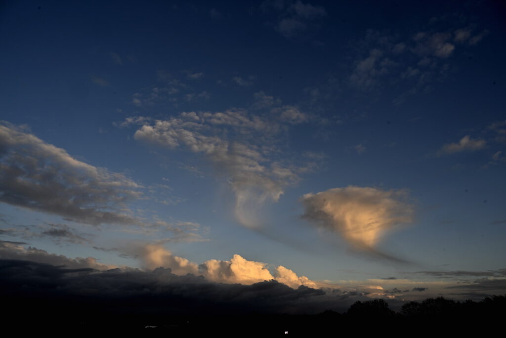 Brussels wakes to crisp autumn skies on Tuesday before clouds roll in
Tuesday will begin dry and bright in Brussels and across much of Belgium, before clouds move in from the south during the afternoon, bringing a slight chance of light rain or showers, according to the Royal…
-
 Temperatures to grow after cold, chilly Sunday
Sunday afternoon will be mostly cloudy across Belgium, with a chance of a few showers and temperatures remaining cool for the time of year, the Royal Meteorological Institute has forecast. Some brighter spells are…
-
 Video. Weather Europe Today (2026/10/18)
Euronews.com Video. Weather Europe Today (2026/10/18) Get the latest weather forecast from Euronews, covering conditions across Europe and around the world. Our regular weather update walks you through temperatures…
- Video. Weather Europe Today (2026/10/17)
Euronews.com Video. Weather Europe Today (2026/10/17) Get the latest weather forecast from Euronews, covering conditions across Europe and around the world. Our regular weather update walks you through temperatures…
-
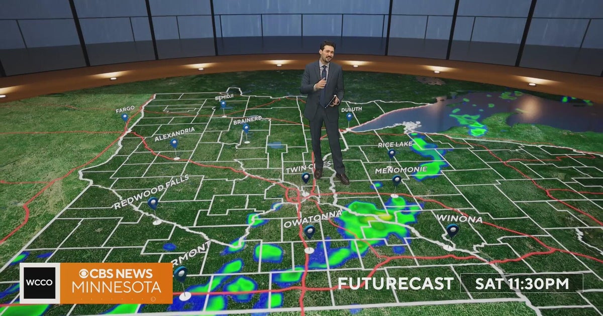 Minnesota weather turns cooler after a Saturday cold front brings light showers | Oct. 23, 2026
Rain chances improve Saturday afternoon and evening, with amounts under a tenth of an inch and gusts near 30 mph. Highs reach the 70s ahead of the front, then fall to the mid 50s Sunday, WCCO meteorologist Joseph Dames…
-
 BBC Audio | What in the World | Five ways El Niño is affecting weather around the world
El Niño has been strengthening for several months now and is already having a significant impact on global weather patterns. Countries including Indonesia, India and the United States have been experiencing droughts…
-
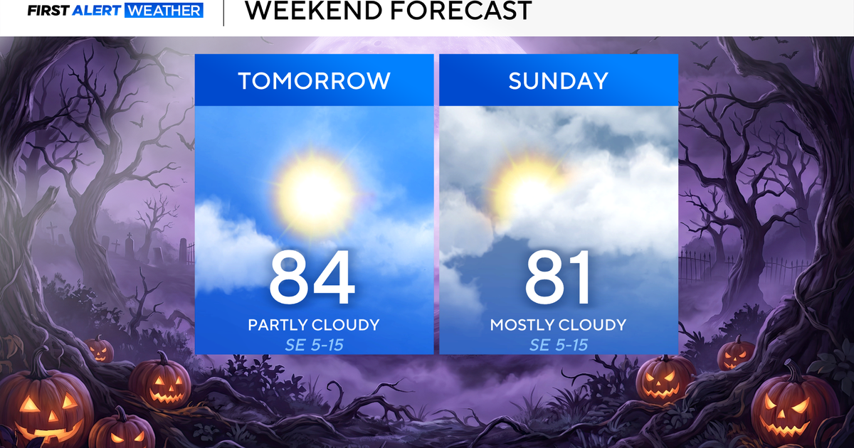 Clouds build in over the weekend as temperatures stay above average in the 80s across North Texas
October 23, 2026 / 8:00 AM CDT / CBS Texas North Texans are waking up to temperatures mainly in the 50s and 60s on Friday morning, with some clouds across portions of the area. In the afternoon and into the weekend…
-
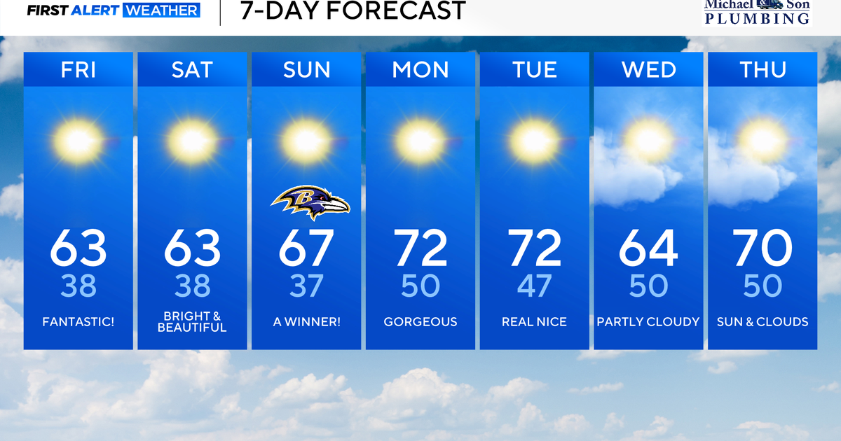 Maryland to enjoy nicest fall weekend weather of season yet
Updated on: October 23, 2026 / 8:46 AM EDT / CBS Baltimore A strong area of high pressure will protect our weather through the weekend and beyond. This type of weather pattern delivers us plenty of sunshine, seasonably…
-
 October's full Hunter's Moon to light up night sky this weekend
October's full Moon, nicknamed the Hunter's Moon, is set to light up the night sky this weekend. It will be visible in the UK from Sunday 25 October into the morning of Monday 26 October. Marking the 11th full Moon of…
-
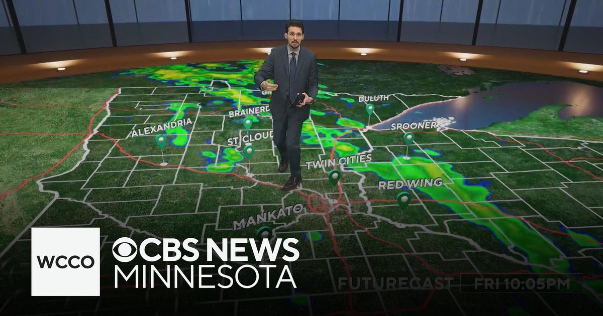 Last taste of mild fall weather in Minnesota | Oct. 23, 2026
CBS News Minnesota is a local news organization that is part of CBS News and Stations. Also referred to as WCCO-TV and channel 4, CBS News Minnesota offers local breaking news, weather coverage and investigative…
Sun & moon
Nearby
- Luxembourg 44 km
- Thionville 51 km
- Esch-sur-Alzette 33 km
- Arlon 24 km
- Verdun 47 km
- Sedan 45 km
- Dudelange 41 km
- Yutz 53 km
- Hayange 47 km
- Aubange 20 km
- Longwy 17 km
- Bastogne 50 km
Forecasts, observations and alerts in the United States come from the National Weather Service (NOAA); radar from NOAA's Multi-Radar Multi-Sensor system; satellite imagery from NASA's Global Imagery Browse Services (GIBS) and NOAA's GOES satellites; the map from the U.S. Geological Survey's National Map; air quality from AirNow (EPA and its partners); hurricane information from the National Hurricane Center; climate normals and records from NOAA's Regional Climate Centers (ACIS). Forecasts outside the United States and the UV index: MET Norway (CC BY 4.0); observations outside the U.S.: airport reports via NOAA's Aviation Weather Center. Place names: GeoNames (CC BY 4.0). Data are copied on a schedule and may lag the sources; for warnings that affect your safety, follow your local National Weather Service office and emergency officials. Weather news is drawn from the 4Search index and reflects what the press published. Terms of use.