Install
Manage, Wallonia, Belgium Weather
Current conditions
Observed at Charleroi Arpt · 46 min ago
Forecast
10-day-
Wednesday
Rain. High 12°. Precipitation 1.0 mm for the day.
-
Wednesday Night
Cloudy. Low 8°. Precipitation 1.0 mm for the day.
-
Thursday
Rain. High 13°. Precipitation 3.5 mm for the day.
MET Norway forecast updated 1 day ago.
Hourly
Hourly forecast- Now8°
- Thu00:008°
- 01:008°
- 02:007°
- 03:007°
- 04:007°
- 05:007°
- 06:007°
- 07:007°
- 08:007°0.2
- 09:007°
- 10:008°
- 11:0010°0.6
- 12:0010°0.7
- 13:0010°0.2
- 14:0012°
- 15:0013°
- 16:0013°0.7
- 17:0012°
- 18:0012°0.3
- 19:0011°0.6
- 20:0010°0.2
- 21:0010°
- 22:0010°
Daily forecast
DetailsRadar
Full mapWeather news near Manage
More weather news-
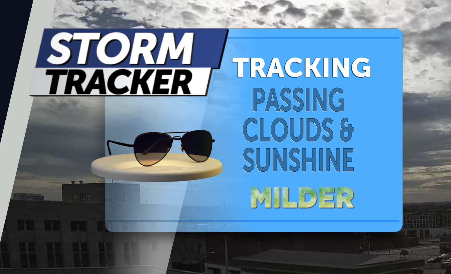 Tracking mainly dry skies, warming trend ahead
Jared Shelton is the weekend Storm Tracker Meteorologist and Weather Wise reporter at KQ2 News. Jump to comments ↓ Jared Shelton is the weekend Storm Tracker Meteorologist and Weather Wise reporter at KQ2 News. KQ2 is…
-
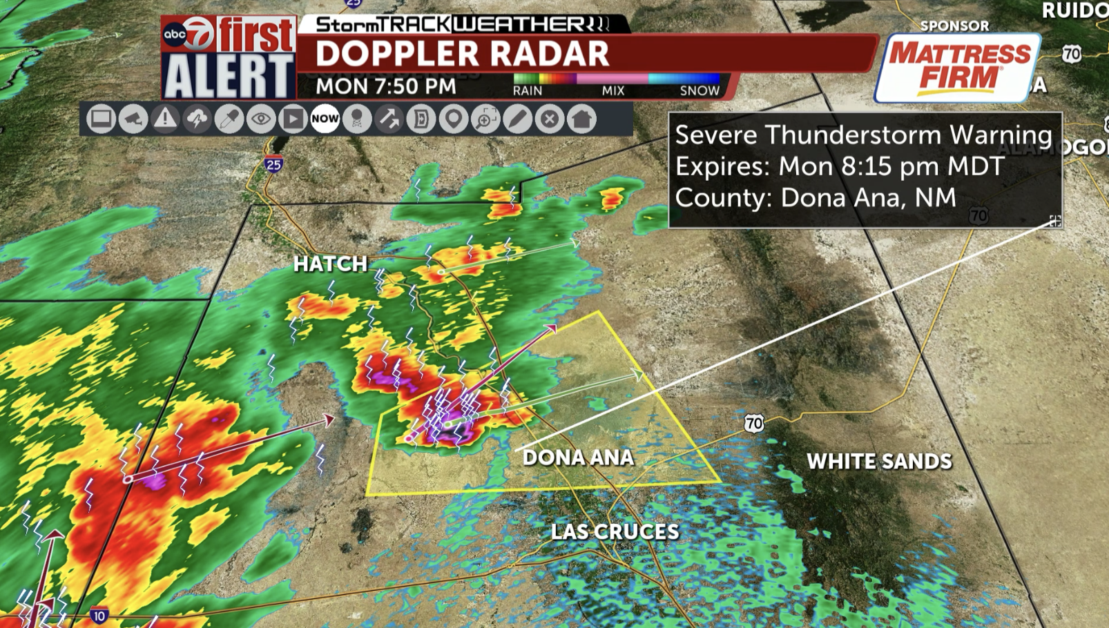 ABC-7 FIRST ALERT: Severe Thunderstorm Warning for Central Dona Ana County including Dona Ana and Radium Springs until 8:15 PM; 60 mph winds and quarter-sized hail are possible
KVIA The National Weather Service has issued a Severe Thunderstorm Warning for Dona Ana County including Dona Ana and Radium Springs until 8:15 PM. The main hazards are 60 mph winds and quarter-sized hail! Jump to…
-
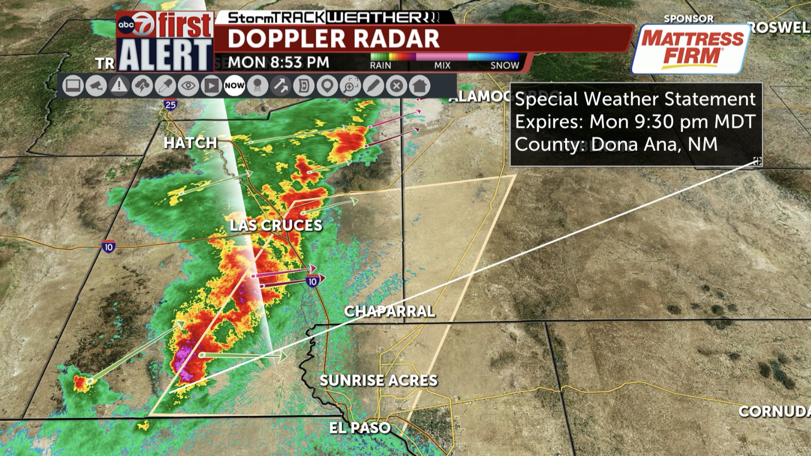 ABC-7 First Alert: Special Weather Statement for El Paso and Dona Ana Counties including El Paso and Chaparral until 9:30 PM; line of strong storms may produce 50 mph wind gusts
KVIA A Special Weather Statement has been issued for El Paso and Dona Ana Counties including El Paso and Chaparral until 9:30 PM for wind gusts up to 50 miles per hour are possible in this line of strong storms! Jump to…
-
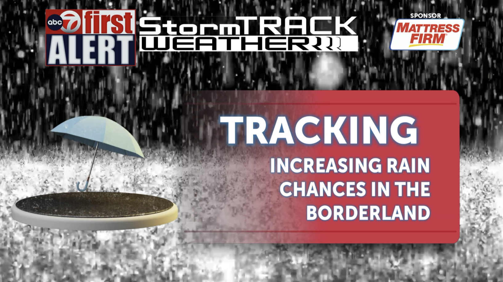 ABC-7 First Alert: Tracking strong storm chances this evening; chances increase this week in the Borderland
Last night and early this morning, we saw a few showers and thunderstorms in the Borderland. Only trace amounts were recorded at El Paso International Airport. Isolated storm chances are low for this evening, most of…
-
 MA Current Conditions
Herald and News - Manage Subscription (Pay Your Bill, Vacation Request, Update Account Info) MA Current Conditions as of 01:01 AM EDT Tuesday, October 20, 2026 City/Town;Weather Condition;Temp (F);Wind Direction;Wind…
-
 ABC-7 StormTrack Weather: Tracking increasing rain chances this week in the Borderland
Last night and early this morning, we saw a few showers and thunderstorms in the Borderland. Only trace amounts were recorded at El Paso International Airport. Isolated storm chances are low for this evening, most of…
-
 RFD-TV Weekly Crop Progress and Livestock Production Update — Monday, October 19, 2026
Producers are balancing harvest needs with winter wheat establishment, forage conditions, livestock water supplies and the opportunity to rebuild soil moisture heading into 2027. RFD-TV Weekly Crop Progress and…
-
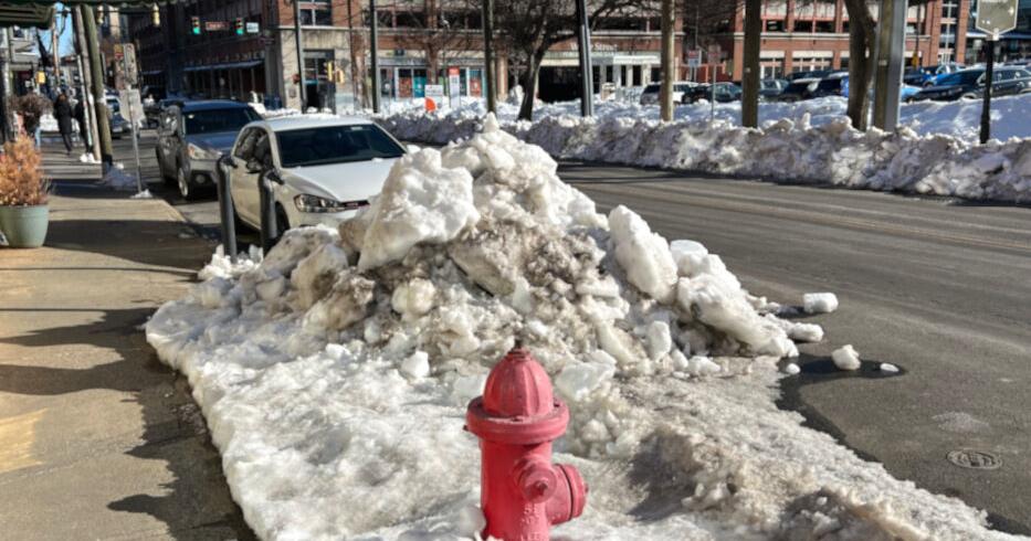 VDOT making preparations for winter weather
RUCKERSVILLE, Va. (CBS19 NEWS) -- The Virginia Department of Transportation is conducting its annual snow-preparation training as crews get ready for winter weather. Chris Gibson, Stanardsville superintendent, said…
-
 Tracking a cool night, pleasant Tuesday
TONIGHT: Mostly clear and cool with lows in the mid-40s. TOMORROW: Mostly sunny and mild with highs in the lower 70s. EXTENDED: We'll be cool again overnight as temperatures fall to the mid-40s. We'll see gradual…
-
 Pleasant fall days this week peak with a Top 10/11 Day soon
LINCOLN, Neb. (KOLN) - Fall weather is locking in for the entire week ahead. And if you’re looking for the ideal autumn day, mark your calendar for Wednesday. Tuesday: Temperatures warm slightly into the low to mid 70s…
Sun & moon
Nearby
- Brussels 39 km
- Charleroi 18 km
- Anderlecht 37 km
- Molenbeek-Saint-Jean 39 km
- Mons 21 km
- Ixelles 38 km
- Uccle 34 km
- La Louvière 4 km
- Woluwe-Saint-Lambert 40 km
- Forest 35 km
- Saint-Gilles 37 km
- Etterbeek 38 km
Forecasts, observations and alerts in the United States come from the National Weather Service (NOAA); radar from NOAA's Multi-Radar Multi-Sensor system; satellite imagery from NASA's Global Imagery Browse Services (GIBS) and NOAA's GOES satellites; the map from the U.S. Geological Survey's National Map; air quality from AirNow (EPA and its partners); hurricane information from the National Hurricane Center; climate normals and records from NOAA's Regional Climate Centers (ACIS). Forecasts outside the United States and the UV index: MET Norway (CC BY 4.0); observations outside the U.S.: airport reports via NOAA's Aviation Weather Center. Place names: GeoNames (CC BY 4.0). Data are copied on a schedule and may lag the sources; for warnings that affect your safety, follow your local National Weather Service office and emergency officials. Weather news is drawn from the 4Search index and reflects what the press published. Terms of use.