Install
Lier, Flanders, Belgium Weather
Current conditions
Observed at Antwerp Intl · 1 hr ago
Forecast
10-day-
Friday Night
Heavy rain. Low 9°. Precipitation 7.9 mm for the day.
-
Saturday
Rain. High 13°. Precipitation 13.7 mm for the day.
-
Saturday Night
Heavy rain. Low 8°. Precipitation 13.7 mm for the day.
MET Norway forecast updated 7 hrs ago.
Hourly
Hourly forecast- Now9°2.4
- 23:009°1.6
- Sat00:009°0.8
- 01:009°0.3
- 02:009°0.5
- 03:008°0.4
- 04:008°0.4
- 05:008°0.4
- 06:008°
- 07:008°
- 08:008°
- 09:008°
- 10:009°
- 11:0010°
- 12:0010°
- 13:0011°
- 14:0012°
- 15:0013°
- 16:0012°
- 17:0011°0.3
- 18:0011°0.4
- 19:0010°0.9
- 20:0010°1.9
- 21:0010°2.5
10-day forecast
DetailsRadar
Full mapWeather news near Lier
More weather news-
 Tracking weekend cooldown, more showers & storms
TODAY: Temps will be similar to Thursday, in the 70s in most lower-lying areas. Gusty winds linger. Expect isolated showers and storms, with most of the TODAY: Temps will be similar to Thursday, in the 70s in most…
-
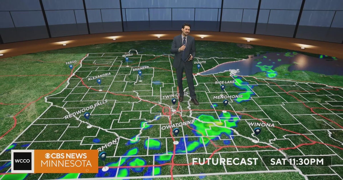 Minnesota weather turns cooler after a Saturday cold front brings light showers | Oct. 23, 2026
Rain chances improve Saturday afternoon and evening, with amounts under a tenth of an inch and gusts near 30 mph. Highs reach the 70s ahead of the front, then fall to the mid 50s Sunday, WCCO meteorologist Joseph Dames…
-
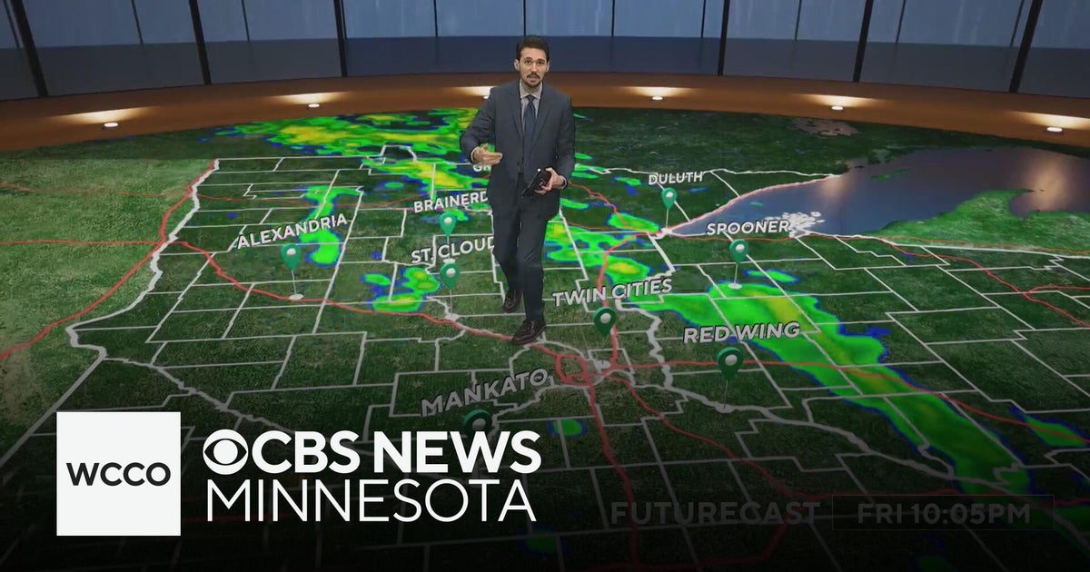 Last taste of mild fall weather in Minnesota | Oct. 23, 2026
CBS News Minnesota is a local news organization that is part of CBS News and Stations. Also referred to as WCCO-TV and channel 4, CBS News Minnesota offers local breaking news, weather coverage and investigative…
- Heavy rain lashes Erode district
Updated - October 23, 2026 08:59 pm IST - ERODE Heavy rain lashed several parts of the district overnight on Thursday and continued into Friday morning, causing inconvenience to road users. Rainwater stagnated in…
-
 WSAZ+ | Beautiful weather for the weekend
HUNTINGTON, W.Va. (WSAZ) - Meteorologist John Gross is looking at another quiet week of weather with plenty of sunshine and colder nights. Highs Friday a touch cooler in the upper 60s near 70 with a northeast breeze…
-
 FOX29 First Alert Weather Forecast: Oct. 23, 2026
WEST PALM BEACH, Fla. (WFLX) - South Florida is heading into a breezy and unsettled weekend, with increasing rain chances, rough surf and hazardous boating conditions. While temperatures will remain comfortable…
-
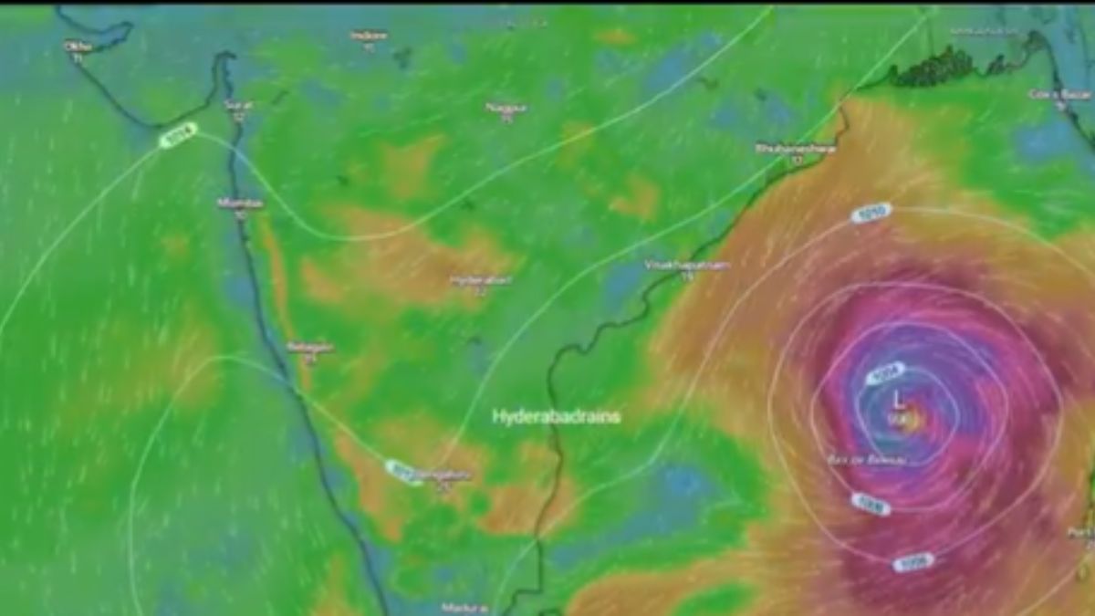 Cyclone Alert: Bay of Bengal System May Intensify By October 26; IMD Warns Of Heavy Rain In These States
India Meteorological Department (IMD) has issued warnings for weather in several states owing to the possibility that the current low-pressure area formed in the Bay of Bengal may gain further strength in the coming…
-
 Cyclone Arnab Over Bay Of Bengal By October 26; IMD Warns Of Heavy Rain In Andhra Pradesh, Odisha
The low-pressure area over the east-central Bay of Bengal and adjoining southeast Bay of Bengal is likely to intensify into a cyclonic storm in the coming days, the India Meteorological Department (IMD) said on Friday…
-
 Storm Austen to batter Wales coast with 70mph winds
Travel disruption and power cuts are expected when Storm Austen hits Wales. The Met Office said the storm, the first named one of the autumn, will bring a spell of strong winds up to 70mph (112km/h) overnight on…
-
 Tamil Nadu weather today: Heavy rain, thunderstorms likely across state on Friday
New Delhi: Tamil Nadu is likely to witness rain and thunderstorms on Friday, October 23, as the northeast monsoon remains active. The India Meteorological Department (IMD) has warned of heavy to very heavy rainfall at…
Sun & moon
Nearby
- Brussels 35 km
- Antwerp 15 km
- Anderlecht 37 km
- Schaerbeek 32 km
- Leuven 29 km
- Molenbeek-Saint-Jean 36 km
- Ixelles 36 km
- Uccle 40 km
- Deurne 12 km
- Mechelen 13 km
- Sint-Niklaas 30 km
- Woluwe-Saint-Lambert 33 km
Forecasts, observations and alerts in the United States come from the National Weather Service (NOAA); radar from NOAA's Multi-Radar Multi-Sensor system; satellite imagery from NASA's Global Imagery Browse Services (GIBS) and NOAA's GOES satellites; the map from the U.S. Geological Survey's National Map; air quality from AirNow (EPA and its partners); hurricane information from the National Hurricane Center; climate normals and records from NOAA's Regional Climate Centers (ACIS). Forecasts outside the United States and the UV index: MET Norway (CC BY 4.0); observations outside the U.S.: airport reports via NOAA's Aviation Weather Center. Place names: GeoNames (CC BY 4.0). Data are copied on a schedule and may lag the sources; for warnings that affect your safety, follow your local National Weather Service office and emergency officials. Weather news is drawn from the 4Search index and reflects what the press published. Terms of use.