Install
Greenland, Saint Andrew, Barbados Weather
Current conditions
Observed at Bridgetown/Adams Intl · 1 hr ago
Forecast
10-day-
Tuesday Night
Mostly clear. Low 27°.
-
Wednesday
Rain. High 32°. Precipitation 2.2 mm for the day.
-
Wednesday Night
Partly cloudy. Low 26°. Precipitation 2.2 mm for the day.
MET Norway forecast updated 2 hrs ago.
Hourly
Hourly forecast- Now28°
- 22:0027°
- 23:0027°
- Wed00:0026°
- 01:0026°
- 02:0026°
- 03:0027°
- 04:0027°
- 05:0027°
- 06:0027°
- 07:0028°
- 08:0029°
- 09:0030°
- 10:0031°
- 11:0031°0.3
- 12:0031°0.5
- 13:0032°0.4
- 14:0031°0.2
- 15:0030°0.2
- 16:0030°0.6
- 17:0029°
- 18:0028°
- 19:0028°
- 20:0027°
10-day forecast
DetailsRadar
Full mapWeather news near Greenland
More weather news-
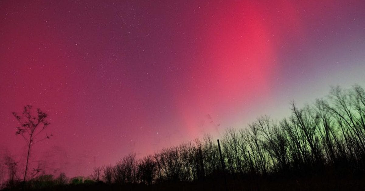 Aurora forecast: Solar wind could spark northern lights in Maine and other U.S. states on October 19-20
Residents of many of the northern U.S. states, from Washington to Maine, could get a chance to see auroras around midnight. Aurora forecast: Solar wind could spark northern lights in Maine and other U.S. states on…
-
 First Santa Ana winds of the season spark wildfire fears in California | CNN
As Southern California braces for its first Santa Ana winds of the season, CNN meteorologist Ali Van Fleet gives an outlook on the region’s wildfire season. An astronaut aboard SpaceX Dragon and a videographer beside a…
-
 Will Super El Niño hit your house? Scientists unpack the myths and misconceptions | CNN
CNN Climate and Weather spoke to five climate scientists about this year’s intense El Niño and the misconceptions they’re hearing. Editor Maggie Koerth and Senior Reporter Andrew Freedman recount what they learned. An…
-
 Orange haze from wildfires blankets Indonesia | CNN
A thick orange haze has blanketed parts of Indonesia and air pollution has reached dangerous levels due to ongoing wildfires. An astronaut aboard SpaceX Dragon and a videographer beside a lake in Canada share two…
-
 Water thunders over Iguazu Falls thanks to El Niño | CNN
The Argentinian-Brazilian waterfall peaked Monday at 11.8 million liters per second, the highest flow recorded this year. An astronaut aboard SpaceX Dragon and a videographer beside a lake in Canada share two amazing…
-
 Few more days of hot and humid before cold front at end of week (KXAN Weather Forecast 10.13.2026)
Cloudy but dry tonight before scattered to isolated showers begin later in the week. Warm and humid from the gulf moisture being brought into the area from gusty winds. Anger is mounting at the companies accused of…
-
 Watch fall bloom from space | CNN
Take a cross-country tour via satellite imagery that lets us glimpse the spectacular transition to fall colors. An astronaut aboard SpaceX Dragon and a videographer beside a lake in Canada share two amazing views of…
-
 SpaceX launch creates glowing ‘jellyfish’ plume over Florida | CNN
On Tuesday, a SpaceX Falcon 9 launch created eerie streaks of light, known as the “jellyfish” effect, in the predawn skies over Florida. An astronaut aboard SpaceX Dragon and a videographer beside a lake in Canada share…
-
 Field Survey on the Coast of Qaanaaq, Greenland 2026 (5)
Partial solar eclipse observed in Qaanaaq village on August 12, 2026Posted: 2026.09.24Author: Motoshi Nishimura (Shinshu University)In Qaanaaq village, where I am staying for my research, a partial solar eclipse was…
Sun & moon
Nearby
- Bridgetown 17 km
- White Hill 5 km
- Speightstown 7 km
- Oistins 21 km
Forecasts, observations and alerts in the United States come from the National Weather Service (NOAA); radar from NOAA's Multi-Radar Multi-Sensor system; satellite imagery from NASA's Global Imagery Browse Services (GIBS) and NOAA's GOES satellites; the map from the U.S. Geological Survey's National Map; air quality from AirNow (EPA and its partners); hurricane information from the National Hurricane Center; climate normals and records from NOAA's Regional Climate Centers (ACIS). Forecasts outside the United States and the UV index: MET Norway (CC BY 4.0); observations outside the U.S.: airport reports via NOAA's Aviation Weather Center. Place names: GeoNames (CC BY 4.0). Data are copied on a schedule and may lag the sources; for warnings that affect your safety, follow your local National Weather Service office and emergency officials. Weather news is drawn from the 4Search index and reflects what the press published. Terms of use.