Install
Portarlington, Victoria, Australia Weather
Current conditions
Forecast for this hour (no station report in the last two hours)
Forecast
10-day-
Sunday
Heavy rain. High 17°. Precipitation 19.1 mm for the day.
-
Sunday Night
Heavy rain. Low 12°. Precipitation 19.1 mm for the day.
-
Monday
Light showers. High 14°. Precipitation 1.6 mm for the day.
MET Norway forecast updated 1 day ago.
Hourly
Hourly forecast- Now15°1.2
- 08:0014°0.9
- 09:0014°0.9
- 10:0013°4.2
- 11:0014°1.4
- 12:0013°2.6
- 13:0013°1.0
- 14:0013°0.7
- 15:0013°0.4
- 16:0013°0.5
- 17:0013°0.3
- 18:0013°0.2
- 19:0013°
- 20:0013°
- 21:0013°
- 22:0013°
- 23:0012°
- Mon00:0011°
- 01:0011°
- 02:0011°
- 03:0011°
- 04:0010°
- 05:0010°
- 06:0010°
Daily forecast
DetailsRadar
Full mapWeather news near Portarlington
More weather news-
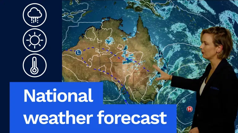 Wet, Stormy Weather to Continue, National Forecast Says
Now for Victoria, it is going to be a warm day, but it will be humid with northerly winds that will freshen throughout the day. It'll be a mostly sunny morning, but then some cloud will start to bubble up during the…
- National weather forecast: Wet and stormy weather continues
Now for Victoria, it is going to be a warm day, but it will be humid with northerly winds that will freshen throughout the day. It’ll be a mostly sunny morning, but then some cloud will start to bubble up during the…
-
 Central Florida has low chances for rain and temperatures peaking at lower 80s
Thursday is dry with a low chance of showers along the Treasure Coast. Temperatures will peak around 81 degrees and skies will be sunny, according to NWS Melbourne. Winds are blowing north to northeast at 10-15 mph with…
- Hurricane Center tracking Josephine, system off Bermuda. Florida impacts?
Subtropical Storm Josephine became the 10th named storm of the 2026 Atlantic hurricane season Oct. 21, two weeks after Tropical Storm Isaias formed in the Gulf. Josephine is forecast to move northeast into the northern…
- Subtropical Storm Josephine expected to strengthen. Any Florida impacts?
Subtropical Storm Josephine is expected to strengthen into a "powerful extratropical cyclone with hurricane-force winds by early Friday," Oct. 23. ➤ Spaghetti models for Subtropical Storm Josephine Forecasters have been…
-
 Subtropical Storm Josephine spaghetti models, path, trajectory
Subtropical Storm Josephine formed Wednesday afternoon, Oct. 21, according to the National Hurricane Center in Miami, Florida. Josephine was about 265 miles south of Nantucket, Massachusetts, moving north at 6 mph, with…
-
 Weather is mostly dry and cool with a small craft advisory in effect
Isolated showers and storms are possible along the coast from Cape Canaveral southward. Conditions will be mostly dry everywhere else, according to NWS Melbourne. Winds are breezy, blowing northwest increasing to 10-15…
-
 Moggill Weather
Brisbane for Wednesday. Cloudy. Very high chance of showers. The chance of a thunderstorm. Winds NE 15 to 20 km/h becoming light in the evening. Hobart facing rare October heat as severe heatwave continues in Tasmania…
- Melbourne's first 30-degree days of spring
The temperature in Melbourne looks set to hit the 30-degree mark for the first time since March, with maximums of 30°C forecast for both this Thursday and Friday. This week's pair of 30-degree Melbourne days won't be…
-
 Thunderstorms, heavy rain and flash flooding predicted for much of Australia
Parts of Queensland, Victoria and South Australia can expect severe storms on Saturday, moving into NSW and Tasmania by Sunday Severe thunderstorms and heavy rain will sweep across most Australian states this weekend…
Sun & moon
Nearby
- Melbourne 43 km
- Geelong 26 km
- St Albans 43 km
- Frankston East 42 km
- Bacchus Marsh 53 km
- Balwyn North 53 km
- Torquay 37 km
- Burwood 50 km
- Fawkner 52 km
- Ocean Grove 20 km
- Caulfield South 41 km
- Elsternwick 40 km
Forecasts, observations and alerts in the United States come from the National Weather Service (NOAA); radar from NOAA's Multi-Radar Multi-Sensor system; satellite imagery from NASA's Global Imagery Browse Services (GIBS) and NOAA's GOES satellites; the map from the U.S. Geological Survey's National Map; air quality from AirNow (EPA and its partners); hurricane information from the National Hurricane Center; climate normals and records from NOAA's Regional Climate Centers (ACIS). Forecasts outside the United States and the UV index: MET Norway (CC BY 4.0); observations outside the U.S.: airport reports via NOAA's Aviation Weather Center. Place names: GeoNames (CC BY 4.0). Data are copied on a schedule and may lag the sources; for warnings that affect your safety, follow your local National Weather Service office and emergency officials. Weather news is drawn from the 4Search index and reflects what the press published. Terms of use.