Install
Orange, New South Wales, Australia Weather
Current conditions
Forecast for this hour (no station report in the last two hours)
Forecast
10-day-
Thursday
Heavy rain. High 19°. Precipitation 4.0 mm for the day.
-
Thursday Night
Cloudy. Low 11°. Precipitation 4.0 mm for the day.
-
Friday
Heavy showers. High 19°. Precipitation 4.0 mm for the day.
MET Norway forecast updated 1 hr ago.
Hourly
Hourly forecast- Now11°
- 06:0011°
- 07:0011°
- 08:0013°
- 09:0014°
- 10:0016°0.2
- 11:0017°0.4
- 12:0017°1.0
- 13:0018°0.7
- 14:0018°0.3
- 15:0019°1.1
- 16:0017°0.2
- 17:0017°
- 18:0017°
- 19:0015°
- 20:0014°
- 21:0014°
- 22:0013°
- 23:0013°
- Fri00:0013°
- 01:0013°
- 02:0012°
- 03:0012°
- 04:0012°0.2
Daily forecast
DetailsRadar
Full mapWeather news near Orange
More weather news- Daily weather tracker: Arabian Sea low-pressure system may intensify; Tamil Nadu on orange alert for heavy rain
Heavy rainfall and thunderstorms are expected across southern India, with Tamil Nadu, Puducherry, and Karaikal under an orange alert for intense downpours. A low-pressure system in the Arabian Sea may intensify into a…
-
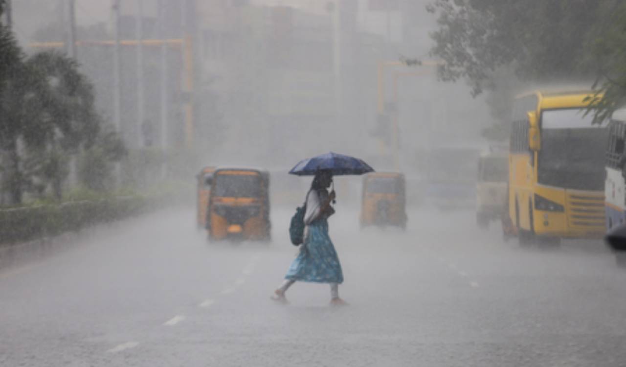 Tamil Nadu weather alert: Orange alert for Chennai, Coimbatore and two other districts
Tamil Nadu is bracing for widespread rainfall, with an orange alert issued for Chennai, Tiruchirappalli, Coimbatore and the Nilgiris on Monday. Tirunelveli and Madurai are under an orange alert for Tuesday, while heavy…
-
 Tamil Nadu: Orange Alert Issued For Chennai, Three Districts Ahead Of Heavy Rain Forecast
Chennai: An orange alert has been issued for Chennai, Tiruchirappalli, Coimbatore and the Nilgiris on Monday, with the weather department forecasting heavy to very heavy rainfall in the four districts amid widespread…
-
 Rain — and potentially lots of it — heading to Southern California
Widespread rain and possible thunderstorms are headed for Southern California this week, with forecasters on Monday warning that some areas could receive up to 2 inches of rain. The National Weather Service said a…
-
 Dog gets the zoomies among peak New England foliage
Adorable dog gets the zoomies among colorful New England leaves The Weather Channel Adorable dog gets the zoomies among colorful New England leaves Adorable footage shows a dog bounding through piles of vibrant leaves…
- Morocco issues orange weather alert for thunderstorms across several provinces
Morocco’s General Directorate of Meteorology has issued an updated orange-level weather alert warning of heavy thunderstorms, hail and strong wind gusts across several provinces on Sunday and Monday. Rainfall of 30 to…
-
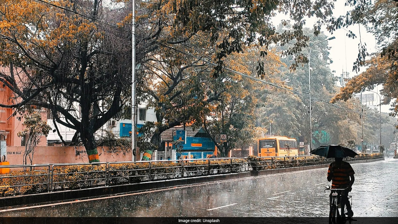 Weather Update For October 20: Heavy Rain And Thunderstorms Forecast For Tamil Nadu, Andhra Pradesh
The India Meteorological Department (IMD) has issued a weather warning for October 20 (Tuesday), predicting heavy downpours, lightning, and gusty winds across multiple parts of the country. Several southern coastal…
-
 Fast moving showers pave the way towards beautiful fall weather
The last 24 hours have been pretty stellar across the neighborhood after Saturday kicked off rather wet and gloomy. The last 24 hours have been pretty stellar across the neighborhood after Saturday kicked off rather…
-
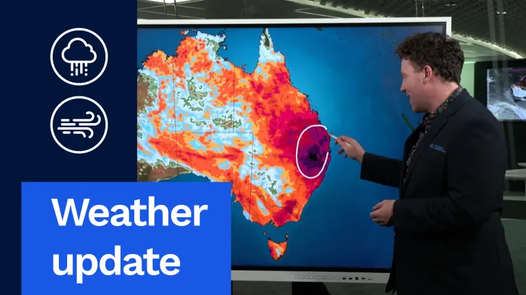 Stormy, Wet Weather to Hit Much of Australia This Week
And I want to start off with this exact map right here. This is our rainfall accumulation map. I've pushed it out through until the end of the weekend. So this is about the next six days' worth of rainfall, really…
-
 Cool Fall-Like Temperatures Expected This Week
A low-pressure system is expected to reach the coast by Tuesday evening, bringing rain to Southern California • 1 hour ago Southern Californians will finally get a break from heat waves, with cooler, fall-like…
Forecasts, observations and alerts in the United States come from the National Weather Service (NOAA); radar from NOAA's Multi-Radar Multi-Sensor system; satellite imagery from NASA's Global Imagery Browse Services (GIBS) and NOAA's GOES satellites; the map from the U.S. Geological Survey's National Map; air quality from AirNow (EPA and its partners); hurricane information from the National Hurricane Center; climate normals and records from NOAA's Regional Climate Centers (ACIS). Forecasts outside the United States and the UV index: MET Norway (CC BY 4.0); observations outside the U.S.: airport reports via NOAA's Aviation Weather Center. Place names: GeoNames (CC BY 4.0). Data are copied on a schedule and may lag the sources; for warnings that affect your safety, follow your local National Weather Service office and emergency officials. Weather news is drawn from the 4Search index and reflects what the press published. Terms of use.