Install
Nowra, New South Wales, Australia Weather
Current conditions
Forecast for this hour (no station report in the last two hours)
Forecast
10-day-
Friday
Light showers. High 23°. Precipitation 0.6 mm for the day.
-
Friday Night
Mostly sunny. Low 17°. Precipitation 0.6 mm for the day.
-
Saturday
Fog. High 25°.
MET Norway forecast updated 1 hr ago.
Hourly
Hourly forecast- Now22°
- 12:0023°
- 13:0023°0.5
- 14:0022°
- 15:0023°
- 16:0022°
- 17:0022°
- 18:0021°
- 19:0020°
- 20:0019°
- 21:0018°
- 22:0018°
- 23:0017°
- Sat00:0017°
- 01:0016°
- 02:0016°
- 03:0016°
- 04:0015°
- 05:0014°
- 06:0014°
- 07:0015°
- 08:0019°
- 09:0021°
- 10:0023°
10-day forecast
DetailsRadar
Full mapWeather news in Australia
More weather news-
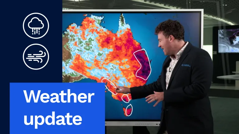 Weather update: Days of rain and storms across Australia
The Bureau of Meteorology Javascript is disabled. Information may not appear correctly. For the best website experience, activate Javascript. Weather update: Days of rain and storms across Australia Video current: 12:00…
-
 Heavy rain, flooding to hit eastern Australia while Hobart sweats through rare heatwave
The West Australian is a leading news source in Perth and WA. Breaking local and world news from sport and business to lifestyle and current affairs. Eastern Australia is heading into a soggy stretch of weather, with…
-
 Moths Confuse Weather Radars in Southeastern Australia
At SSBCrack News, our dedicated editorial team brings you the latest and most reliable updates on Defence, Geopolitics, Military Affairs, Science, and Technology. Driven by a passion for national security and strategic…
- ‘Millions’ facing deluge as Queensland storms spread
Updated October 22, 2026 - 10.23pm. First published at 9.49pm South-east Queensland is braced for another deluge on Friday, after a heavy downpour saw school closures and flash floods in the region. Bureau of…
-
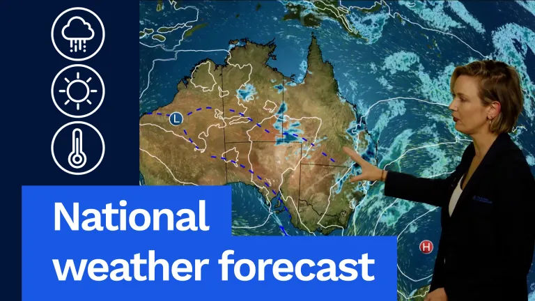 Wet, Stormy Weather to Continue, National Forecast Says
Now for Victoria, it is going to be a warm day, but it will be humid with northerly winds that will freshen throughout the day. It'll be a mostly sunny morning, but then some cloud will start to bubble up during the…
- National weather forecast: Wet and stormy weather continues
Now for Victoria, it is going to be a warm day, but it will be humid with northerly winds that will freshen throughout the day. It’ll be a mostly sunny morning, but then some cloud will start to bubble up during the…
-
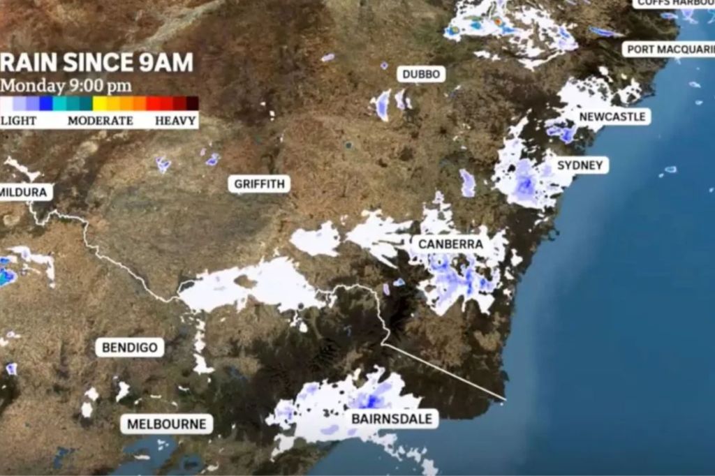 Mass moth migration bamboozles BOM weather radars
Weather bureau radars have detected an unusual weather pattern on Australia’s east coast this month — millions of moths. Swarms of bogong moths migrating south have bamboozled weather detectors, appearing on radar loops…
- Late-Summer Rain Belt Shifts 200 Km North, Raising Korea's Risk of Heat and Heavy Rain
Wollongong-based online news outlet covering Australia and beyond. If you have anything newsworthy - a story, video or picture to share with us, please email us. "Where the front that brings the rain stays is becoming…
-
 UK to be hit by two named storms in two days with yellow warnings issued
Multiple weather warnings are in place due to the arrival of Storms Austen and Boelo over the coming days The Met Office has issued multiple weather warning across the next few days as the first storms of the day…
-
 We must prepare entire cities for extreme heat. Our new study reveals how
In Australia, the days are growing longer and summer is fast approaching. But a very strong El Niño – a natural weather phenomenon that drives variations in temperature and winds across the Pacific – could make this…
Sun & moon
Nearby
- Wollongong 58 km
- Bowral 48 km
- Moss Vale 42 km
- Sanctuary Point 25 km
- Kiama 33 km
- Albion Park Rail 39 km
- Bomaderry 4 km
- Ulladulla 54 km
- Barrack Heights 43 km
- Mittagong 50 km
- Shell Cove 41 km
- Worrigee 3 km
Forecasts, observations and alerts in the United States come from the National Weather Service (NOAA); radar from NOAA's Multi-Radar Multi-Sensor system; satellite imagery from NASA's Global Imagery Browse Services (GIBS) and NOAA's GOES satellites; the map from the U.S. Geological Survey's National Map; air quality from AirNow (EPA and its partners); hurricane information from the National Hurricane Center; climate normals and records from NOAA's Regional Climate Centers (ACIS). Forecasts outside the United States and the UV index: MET Norway (CC BY 4.0); observations outside the U.S.: airport reports via NOAA's Aviation Weather Center. Place names: GeoNames (CC BY 4.0). Data are copied on a schedule and may lag the sources; for warnings that affect your safety, follow your local National Weather Service office and emergency officials. Weather news is drawn from the 4Search index and reflects what the press published. Terms of use.