Install
Grange, South Australia, Australia Weather
Current conditions
Forecast for this hour (no station report in the last two hours)
Forecast
10-day-
Thursday
Partly cloudy. High 27°.
-
Thursday Night
Cloudy. Low 17°.
-
Friday
Cloudy. High 24°. Precipitation 10.1 mm for the day.
MET Norway forecast updated 1 day ago.
Hourly
Hourly forecast- Now17°
- 03:3017°
- 04:3017°
- 05:3017°
- 06:3018°
- 07:3020°
- 08:3021°
- 09:3023°
- 10:3024°
- 11:3025°
- 12:3025°
- 13:3025°
- 14:3026°
- 15:3027°
- 16:3027°
- 17:3027°
- 18:3027°
- 19:3026°
- 20:3026°
- 21:3025°
- 22:3025°
- 23:3024°
- Fri00:3024°
- 01:3024°
Daily forecast
DetailsRadar
Full mapWeather news near Grange
More weather news-
 Adelaide weather forecast for Tuesday October 20th and the days ahead
Happy Tuesday! Here's a look at the weather today and what's to come for the rest of the week. Share Tweet Share Share Email Comments Adelaide is set for a changeable week of spring weather, with a possible severe storm…
-
 Adelaide weather forecast for Monday October 19th and the days ahead
Happy Monday! Here’s the weather for October 19th and a look at what’s to come this week. Adelaide is in for an unsettled start to the week, with the chance of showers and even a possible severe thunderstorm on Tuesday…
-
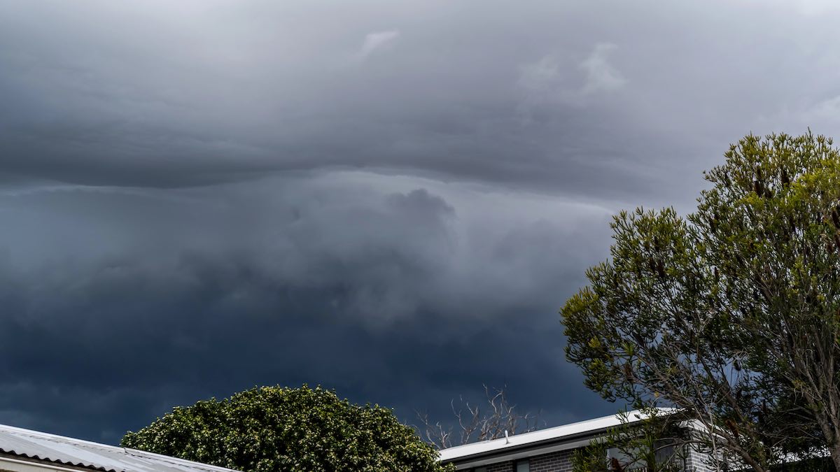 Severe thunderstorm warning expands across SA as large hail and damaging winds threaten
The Bureau of Meteorology has issued a severe thunderstorm warning for four South Australian regions, with damaging winds, large hail and flash flooding possible. The Bureau of Meteorology has issued an updated severe…
-
 Adelaide weather forecast for Sunday October 18th and the days ahead
Happy Sunday! Here’s the weather for October 18th and a look at what’s to come next week. Adelaide is heading into a changeable week, with warm spring weather set to give way to showers, possible thunderstorms and a…
-
 Adelaide weather forecast for Saturday October 17th and the days ahead
Happy Saturday! Here's the weather for October 17th and a look at what's to come for the rest of the weekend. Happy Saturday! Here’s the weather for October 17th and a look at what’s to come for the rest of the weekend…
- El Nino’s are meant to be dry. So what’s with all this rain?
October 17, 2026 - 2.08am Sydneysiders couldn’t leave the house without an umbrella this week with parts of the city copping more than 110mm of rain. Parts of Melbourne have also seen up to 300mm of rain this month. SES…
-
 Adelaide weather forecast for Friday October 16th and the days ahead
Happy Friday! Here’s the weather for October 16th and a look at what’s to come this weekend. Adelaide is heading into a largely warm and settled run of spring weather, with sunny days and climbing temperatures through…
-
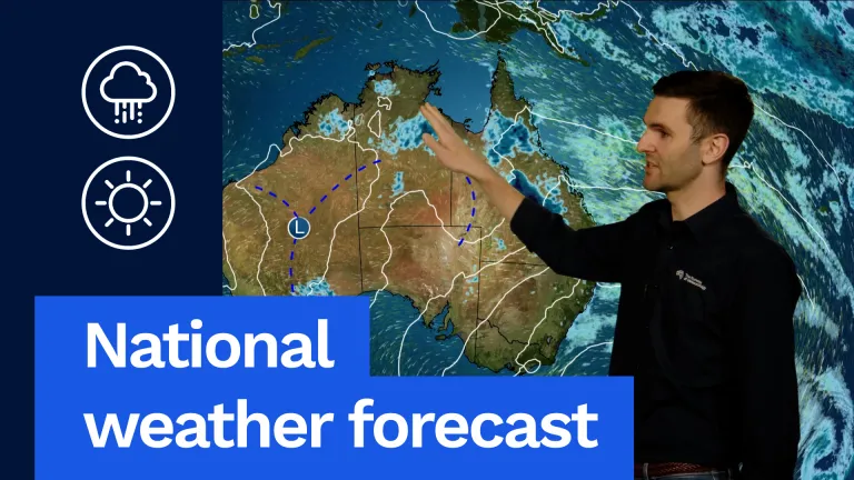 National weather forecast: Blocking high brings consistent weather
A beautiful day as well on the way for Tasmania. Temperatures well above average for this time of year. Hobart going for a sunny top of 24 degrees. Launceston 22 degrees. Quite fresh winds along the east coast in the…
-
 Adelaide weather forecast for Thursday October 15 and the days ahead
Happy Thursday! Here’s the weather for October 15th and a look at what’s to come this week. Adelaide is heading into a mostly settled spring stretch, with sunshine, mild days and a gradual warm-up across the next week…
-
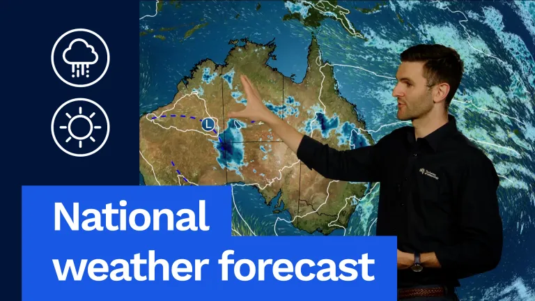 National weather forecast: Storms possible for most of Australia
The Bureau of Meteorology Javascript is disabled. Information may not appear correctly. For the best website experience, activate Javascript. National weather forecast: Storms possible for most of Australia Video…
Sun & moon
Nearby
- Adelaide 10 km
- Adelaide Hills 20 km
- Mount Barker 39 km
- Gawler 41 km
- Prospect 10 km
- Happy Valley 21 km
- Athelstone 19 km
- Salisbury 20 km
- Campbelltown 16 km
- Strathalbyn 54 km
- Klemzig 14 km
- Nairne 41 km
Forecasts, observations and alerts in the United States come from the National Weather Service (NOAA); radar from NOAA's Multi-Radar Multi-Sensor system; satellite imagery from NASA's Global Imagery Browse Services (GIBS) and NOAA's GOES satellites; the map from the U.S. Geological Survey's National Map; air quality from AirNow (EPA and its partners); hurricane information from the National Hurricane Center; climate normals and records from NOAA's Regional Climate Centers (ACIS). Forecasts outside the United States and the UV index: MET Norway (CC BY 4.0); observations outside the U.S.: airport reports via NOAA's Aviation Weather Center. Place names: GeoNames (CC BY 4.0). Data are copied on a schedule and may lag the sources; for warnings that affect your safety, follow your local National Weather Service office and emergency officials. Weather news is drawn from the 4Search index and reflects what the press published. Terms of use.