Install
Darlington, New South Wales, Australia Weather
Current conditions
Observed at Sydney Intl · 39 min ago
Forecast
10-day-
Tuesday
Showers. High 20°. Precipitation 1.0 mm for the day.
-
Tuesday Night
Light showers. Low 18°. Precipitation 1.0 mm for the day.
-
Wednesday
Partly cloudy. High 22°.
MET Norway forecast updated 7 hrs ago.
Hourly
Hourly forecast- Now19°
- 20:0019°
- 21:0018°
- 22:0018°
- 23:0018°
- Wed00:0018°
- 01:0016°
- 02:0016°
- 03:0015°
- 04:0015°
- 05:0015°
- 06:0014°
- 07:0015°
- 08:0016°
- 09:0018°
- 10:0019°
- 11:0020°
- 12:0022°
- 13:0022°
- 14:0021°
- 15:0021°
- 16:0020°
- 17:0019°
- 18:0018°
10-day forecast
DetailsRadar
Full mapWeather news near Darlington
More weather news- Melbourne and Sydney in the firing line as storms hit multiple states
Updated October 24, 2026 - 10.31pm. First published at 8.20pm Australia’s week of wet weather is set to continue, as large parts of Victoria and NSW are being warned to prepare for thunderstorms and wind. Melbourne…
-
 Millions on east coast on high alert as severe storms trigger flood warnings
The Bureau of Meteorology is warning millions of Australians of a severe storm “trifecta” – large hail, damaging winds and heavy rain – hitting three major cities. Millions of Australians are being warned they will be…
-
 Queensland, NSW, ACT and Victoria to be hit with ‘wild’ rainy weather
The east coast of Australia is forecast to receive a solid drenching on Sunday. Wet weather is already setting in, but the Bureau of Meteorology warns that thunderstorms could hit Queensland, NSW, Victoria and the ACT…
-
 Storm Boelo LIVE: North East events cancelled and travel disruption as amber warning issued
The North East is expected to face strong winds and spells of heavy rain as Storm Boelo hits the North East today. Gusts potentially exceeding 80mph are expected as Storm Boelo arrives in the UK. A yellow weather…
-
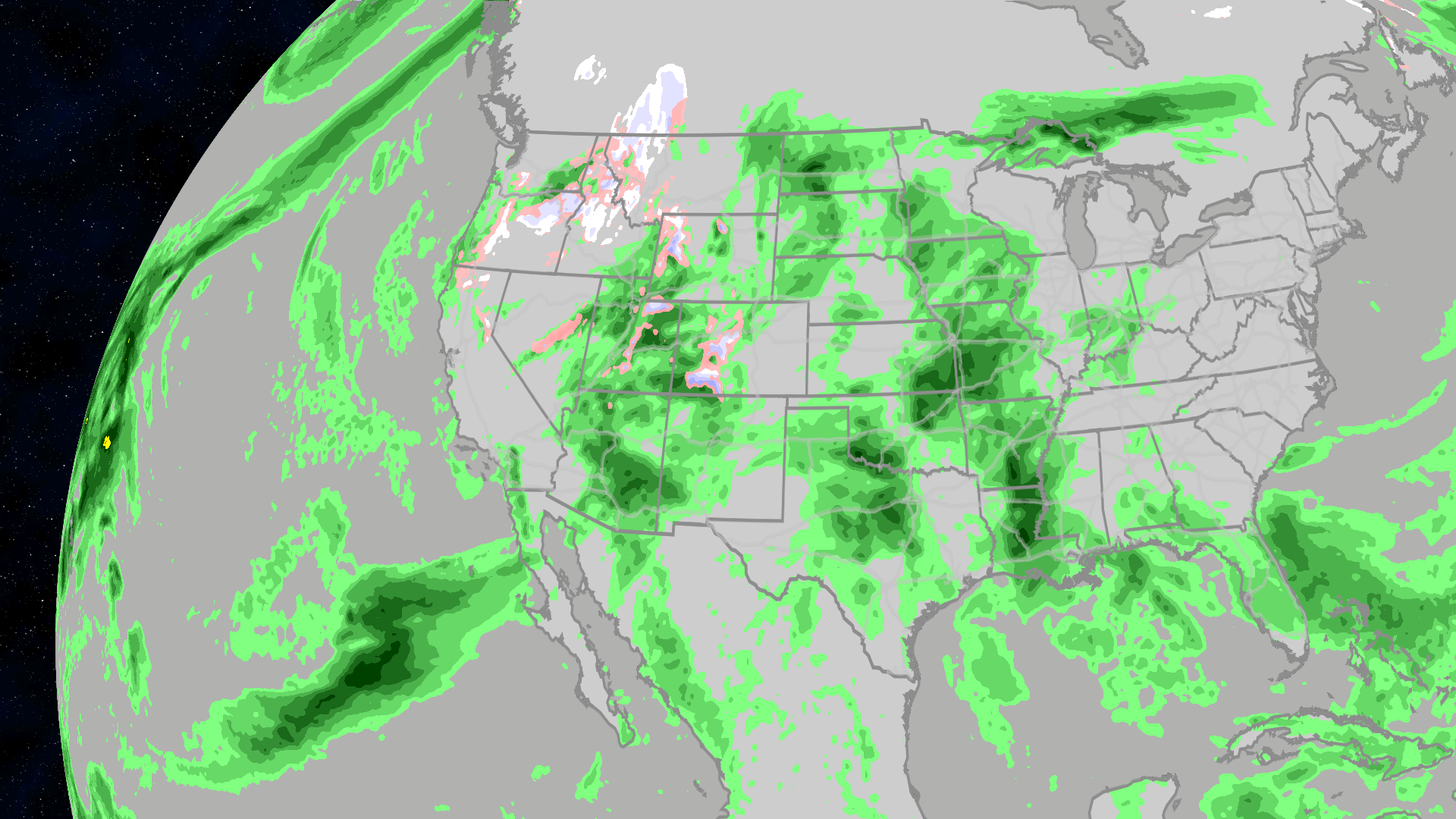 Halloween 2026 forecast: Who will see rain or snow?
The Weather Channel Halloween forecast: Will your weather impact your costume choices? Halloween is just a week away, and the weather may want you to change your costume. Much of the East may be clear and warm enough to…
-
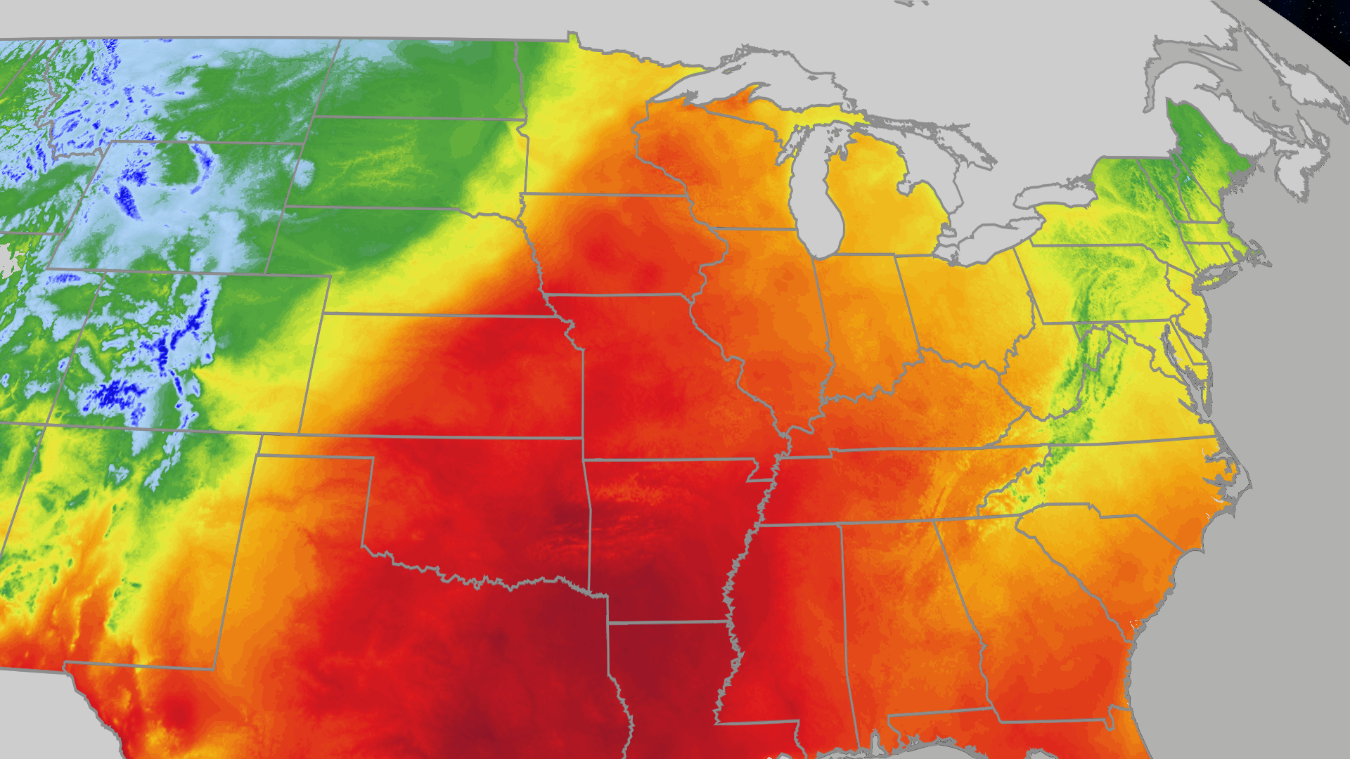 Great Lakes see highs in the 70s and 80s this weekend
The Weather Channel Kansas City, St. Louis, Chicago all in the 70s this weekend The Great Lakes will see highs in the 70s and 80s the rest of the weekend. Kansas City, Chicago and St. Louis are in the 70s. Highs are…
-
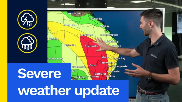 Severe weather update: Major weekend severe storm outbreak
It’s already been a really wet week, particularly across south-east Queensland. We’ve already seen plenty of flash flooding and more is possible over the next few days. Storms are on the forecast for Brisbane and…
- Major Severe Storm Outbreak Expected This Weekend
It's already been a really wet week, particularly across south-east Queensland. We've already seen plenty of flash flooding and more is possible over the next few days. Storms are on the forecast for Brisbane and…
-
 Thunderstorms, heavy rain and flash flooding predicted for much of Australia
Parts of Queensland, Victoria and South Australia can expect severe storms on Saturday, moving into NSW and Tasmania by Sunday Severe thunderstorms and heavy rain will sweep across most Australian states this weekend…
- Severe storm outbreaks forecast for eastern states
The weather bureau is warning of severe thunderstorm outbreaks across multiple states on the weekend, including an already-drenched Queensland. Torrential rain in the state's southeast caused flash flooding, water…
Sun & moon
Nearby
- Sydney 3 km
- Parramatta 20 km
- Redfern 1 km
- Zetland 2 km
- Pymble 17 km
- Turramurra 19 km
- The Rocks 4 km
Forecasts, observations and alerts in the United States come from the National Weather Service (NOAA); radar from NOAA's Multi-Radar Multi-Sensor system; satellite imagery from NASA's Global Imagery Browse Services (GIBS) and NOAA's GOES satellites; the map from the U.S. Geological Survey's National Map; air quality from AirNow (EPA and its partners); hurricane information from the National Hurricane Center; climate normals and records from NOAA's Regional Climate Centers (ACIS). Forecasts outside the United States and the UV index: MET Norway (CC BY 4.0); observations outside the U.S.: airport reports via NOAA's Aviation Weather Center. Place names: GeoNames (CC BY 4.0). Data are copied on a schedule and may lag the sources; for warnings that affect your safety, follow your local National Weather Service office and emergency officials. Weather news is drawn from the 4Search index and reflects what the press published. Terms of use. How to use Weather