Install
Claremont, Western Australia, Australia Weather
Current conditions
Forecast for this hour (no station report in the last two hours)
Forecast
10-day-
Saturday
Light showers. High 16°. Precipitation 1.2 mm for the day.
-
Saturday Night
Light showers. Low 9°. Precipitation 1.2 mm for the day.
-
Sunday
Partly cloudy. High 17°. Precipitation 2.1 mm for the day.
MET Norway forecast updated 14 hrs ago.
Hourly
Hourly forecast- Now16°
- 16:0016°
- 17:0016°
- 18:0015°
- 19:0015°
- 20:0014°
- 21:0013°
- 22:0012°
- 23:0011°
- Sun00:0010°
- 01:0010°
- 02:009°
- 03:009°
- 04:008°
- 05:008°
- 06:008°
- 07:0010°
- 08:0012°
- 09:0014°
- 10:0015°
- 11:0016°
- 12:0017°
- 13:0017°
- 14:0016°
Daily forecast
DetailsRadar
Full mapWeather news near Claremont
More weather news-
 Update: Brace for strong thunderstorms in Santa Susana/San Gabriel Mountains Thursday morning
Los Angeles Daily News Eastern San Gabriel Mountains and San Gabriel Valley are under an updated weather alert for strong thunderstorms by the National Weather Service on Thursday at 1:50 p.m. The alert is in effect…
- UPDATE: Prepare for strong thunderstorms Thursday afternoon
The NWS Los Angeles/Oxnard CA issued an updated report at 1:50 p.m. on Thursday for strong thunderstorms until 2:15 p.m. for Eastern San Gabriel Mountains and Los Angeles. Residents can expect wind gusts of up to 40…
-
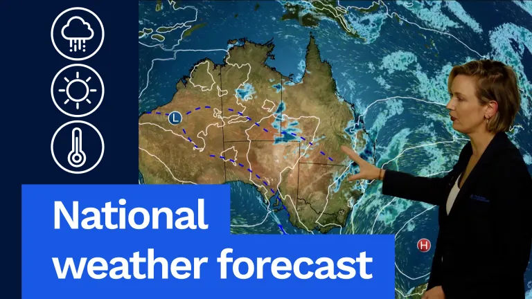 Wet, Stormy Weather to Continue, National Forecast Says
Now for Victoria, it is going to be a warm day, but it will be humid with northerly winds that will freshen throughout the day. It'll be a mostly sunny morning, but then some cloud will start to bubble up during the…
- National weather forecast: Wet and stormy weather continues
Now for Victoria, it is going to be a warm day, but it will be humid with northerly winds that will freshen throughout the day. It’ll be a mostly sunny morning, but then some cloud will start to bubble up during the…
-
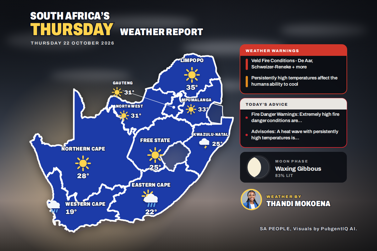 Here is today’s weather by province: Blouberg and Alldays under weather advisory on hot Limpopo day
Home » Here is today’s weather by province: Blouberg and Alldays under weather advisory on hot Limpopo day Polokwane tops the heat at 35°C and Bloemfontein wakes to a chilly 9°C, while SAWS advisories also cover…
-
 UK weather maps turn blue as temperatures plunge below 0C in seven areas
Brits are bracing themselves for freezing temperatures this weekend after several areas are forecast to hit zero, according to new weather charts. Parts of Scotland will see icy spells in the early hours next Saturday…
-
 Heavy rain, flooding to hit eastern Australia while Hobart sweats through rare heatwave
The West Australian is a leading news source in Perth and WA. Breaking local and world news from sport and business to lifestyle and current affairs. Eastern Australia is heading into a soggy stretch of weather, with…
-
 Claremont Hills Wilderness Park Reopens After Weather-Related Closures
CLAREMONT, CA — Claremont Hills Wilderness Park reopened Sunday after a three-day closure due to red flag conditions, the city announced Saturday. The park was closed from Oct. 15 through Oct. 17 because of the…
-
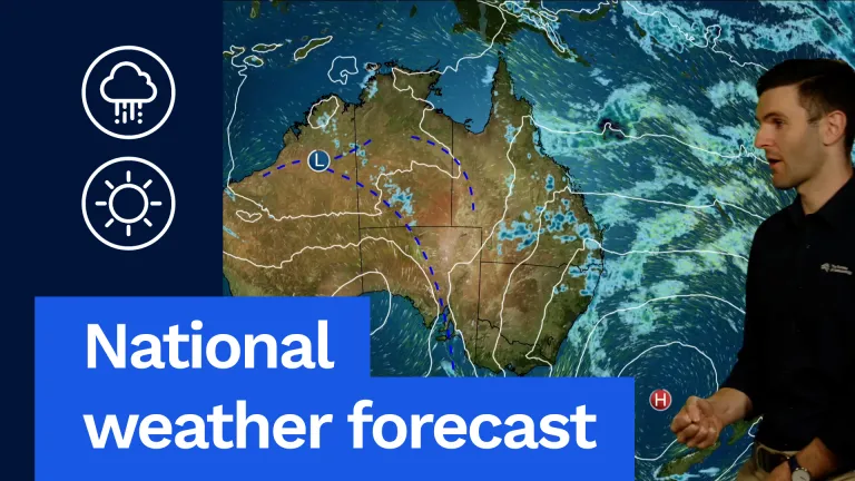 Severe Storms Possible in SA and Western Vic
G'day, David from the bureau here to take a look at the weather around the country for tomorrow, and let's have a look at the national map to start with. Here's this blocking high. It's barely been moving the last few…
-
 ‘Unusual’: Queensland expecting a month’s worth of rain in one week
The West Australian is a leading news source in Perth and WA. Breaking local and world news from sport and business to lifestyle and current affairs. After being drenched by torrential downpour over the weekend…
Sun & moon
Nearby
- Perth 8 km
- Kwinana 28 km
- Rockingham 33 km
- Clarkson 33 km
- Maylands 12 km
- Joondalup 26 km
- Mosman Park 3 km
- Quinns Rocks 35 km
- Bentley 14 km
- Mindarie 33 km
- East Fremantle 7 km
- Kalamunda 26 km
Forecasts, observations and alerts in the United States come from the National Weather Service (NOAA); radar from NOAA's Multi-Radar Multi-Sensor system; satellite imagery from NASA's Global Imagery Browse Services (GIBS) and NOAA's GOES satellites; the map from the U.S. Geological Survey's National Map; air quality from AirNow (EPA and its partners); hurricane information from the National Hurricane Center; climate normals and records from NOAA's Regional Climate Centers (ACIS). Forecasts outside the United States and the UV index: MET Norway (CC BY 4.0); observations outside the U.S.: airport reports via NOAA's Aviation Weather Center. Place names: GeoNames (CC BY 4.0). Data are copied on a schedule and may lag the sources; for warnings that affect your safety, follow your local National Weather Service office and emergency officials. Weather news is drawn from the 4Search index and reflects what the press published. Terms of use.