Install
Lustenau, Vorarlberg, Austria Weather
Current conditions
Forecast for this hour (no station report in the last two hours)
Forecast
10-day-
Saturday
Rain. High 10°. Precipitation 4.0 mm for the day.
-
Saturday Night
Showers. Low 5°. Precipitation 4.0 mm for the day.
-
Sunday
Heavy rain. High 13°. Precipitation 13.4 mm for the day.
MET Norway forecast updated 18 hrs ago.
Hourly
Hourly forecast- Now6°
- 06:005°0.2
- 07:006°0.2
- 08:005°0.9
- 09:006°0.3
- 10:006°
- 11:008°0.4
- 12:008°0.5
- 13:009°
- 14:0010°0.2
- 15:009°0.2
- 16:009°
- 17:009°0.2
- 18:008°
- 19:006°
- 20:006°
- 21:005°
- 22:005°
- 23:006°
- Sun00:006°
- 01:006°
- 02:006°
- 02:006°0.2
- 03:006°0.3
Daily forecast
DetailsRadar
Full mapWeather news in Austria
More weather news-
 What’s happening across SA’s borders? Temperatures soar to 45°C
Home » News » Weather » What’s happening across SA’s borders? Temperatures soar to 45°C Extreme heat grips parts of SA’s neighbouring countries, with temperatures reaching 44°C in Zimbabwe and forecasts of 45°C in…
-
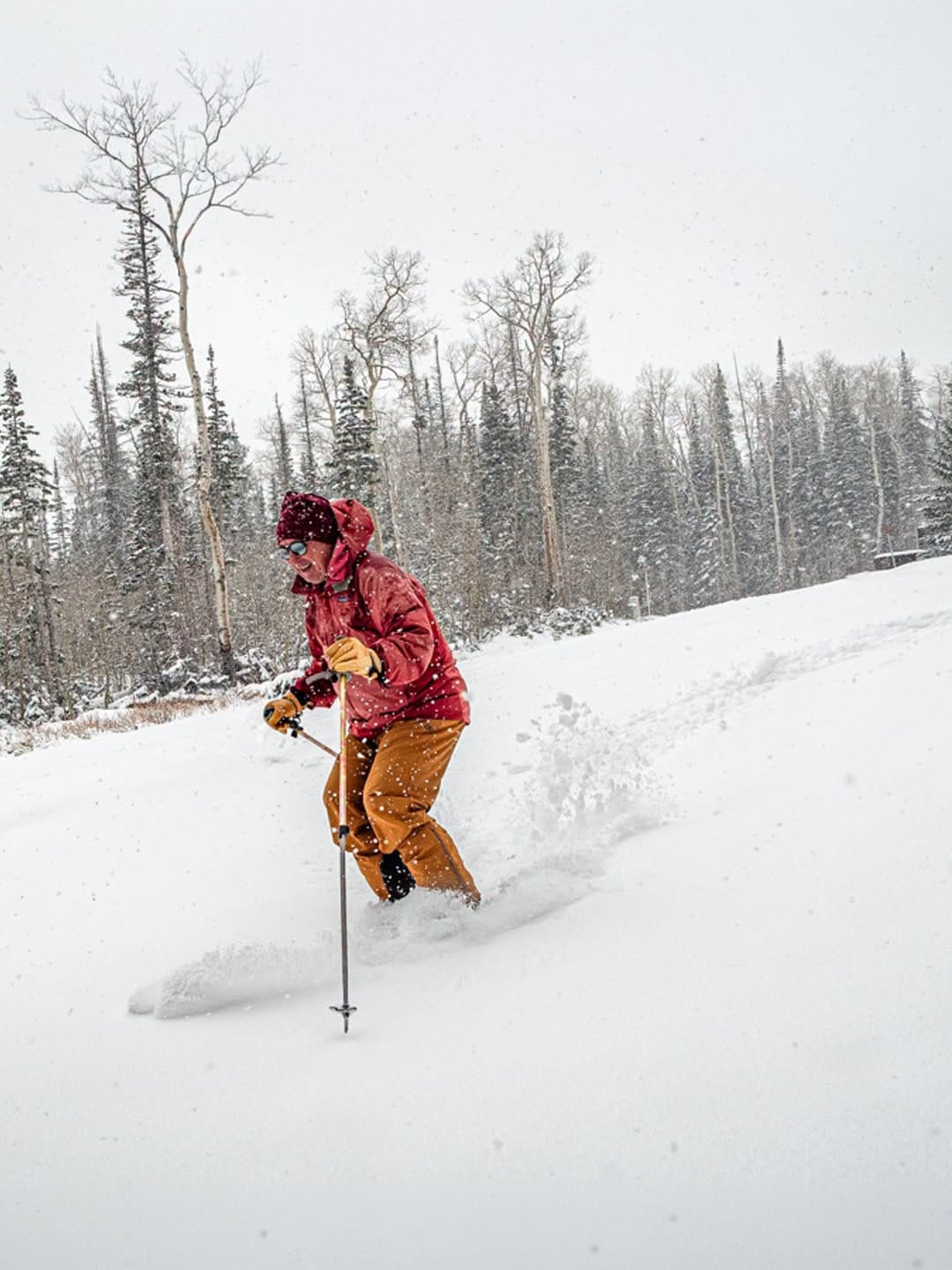 Northern Hemisphere Weekly Snow Roundup #337
Weekly Snow News for Northern Hemisphere, updated 22 October 2026: Zermatt reopens after three month closure; up to 30cm (12") of snowfall on high terrain in the Alps as more glacier centres open; low temperatures and…
-
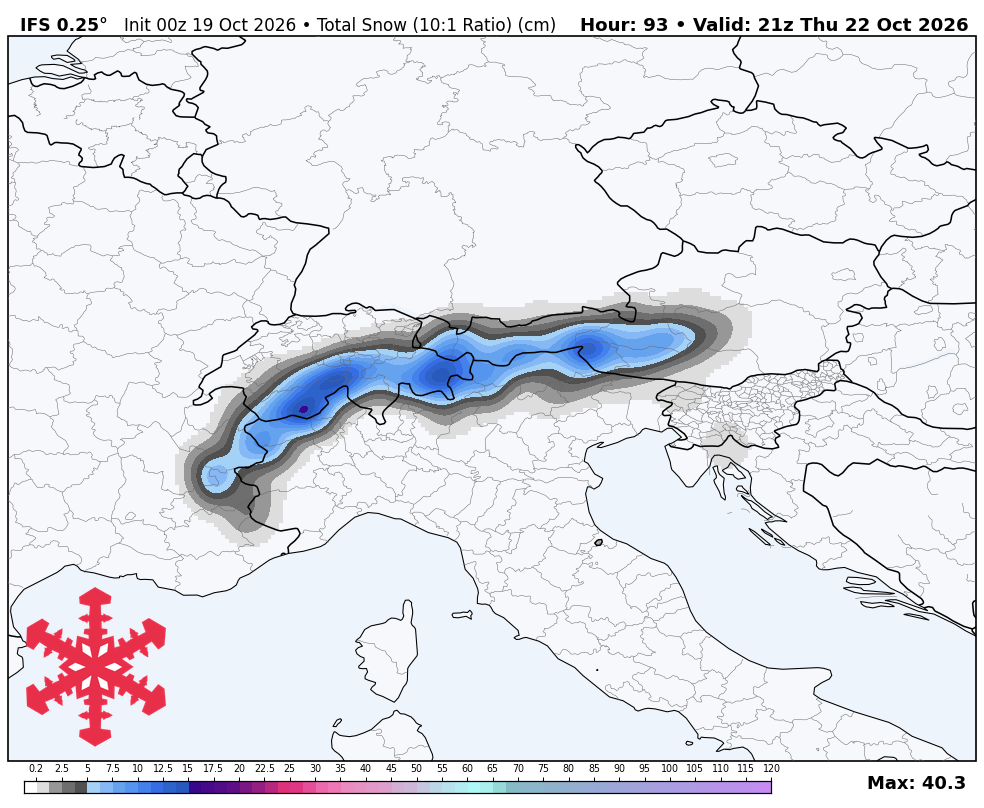 SnowBrains Forecast: 20-30 cm for Cervinia as Europe Turns Colder
Steven Agar is the Chief Operating Officer of SnowBrains (est. 2013), the world's largest award-winning independent snowsports media outlet. Based in Cumbria, UK, Steven oversees editorial operations, SEO, ad revenue…
-
 SnowBrains Forecast: Up to 15 cm for Sölden as Europe Turns Colder
Steven Agar is the Chief Operating Officer of SnowBrains (est. 2013), the world's largest award-winning independent snowsports media outlet. Based in Cumbria, UK, Steven oversees editorial operations, SEO, ad revenue…
-
 Temperatures plunge below freezing in many areas tonight; Freeze Warning in effect
Temperatures will plunge below freezing in many areas tonight, leading to a Freeze Warning for the entire area. Many locations will wake up with temperatures in the 20s to start the day. Sunshine will get us back up…
-
 Daylight saving time: When does the time change in Texas in 2026?
Get ready to make that annual routine change. Texans have weeks before daylight saving time ends. A change in federal law could alter this twice-yearly routine. A proposal moving through Congress would make daylight…
Sun & moon
Nearby
- Konstanz 45 km
- Sankt Gallen 21 km
- Kempten (Allgäu) 59 km
- Friedrichshafen 29 km
- Dornbirn 6 km
- Ravensburg 40 km
- Feldkirch 22 km
- Bregenz 11 km
- Wangen 32 km
- Frauenfeld 59 km
- Lindau 13 km
- Wil 46 km
Forecasts, observations and alerts in the United States come from the National Weather Service (NOAA); radar from NOAA's Multi-Radar Multi-Sensor system; satellite imagery from NASA's Global Imagery Browse Services (GIBS) and NOAA's GOES satellites; the map from the U.S. Geological Survey's National Map; air quality from AirNow (EPA and its partners); hurricane information from the National Hurricane Center; climate normals and records from NOAA's Regional Climate Centers (ACIS). Forecasts outside the United States and the UV index: MET Norway (CC BY 4.0); observations outside the U.S.: airport reports via NOAA's Aviation Weather Center. Place names: GeoNames (CC BY 4.0). Data are copied on a schedule and may lag the sources; for warnings that affect your safety, follow your local National Weather Service office and emergency officials. Weather news is drawn from the 4Search index and reflects what the press published. Terms of use.