Install
Horn, Lower Austria, Austria Weather
Current conditions
Forecast for this hour (no station report in the last two hours)
Forecast
10-day-
Saturday
Cloudy. High 12°. Precipitation 1.6 mm for the day.
-
Saturday Night
Rain. Low 3°. Precipitation 1.6 mm for the day.
-
Sunday
Heavy rain. High 10°. Precipitation 6.0 mm for the day.
MET Norway forecast updated 21 hrs ago.
Hourly
Hourly forecast- Now6°
- 20:005°
- 21:004°
- 22:004°
- 23:003°
- Sun00:003°
- 01:003°
- 02:003°
- 02:002°
- 03:002°
- 04:002°
- 05:002°
- 06:003°
- 07:004°
- 08:005°
- 09:007°
- 10:007°0.6
- 11:008°0.8
- 12:007°1.1
- 13:008°1.2
- 14:008°0.9
- 15:008°0.2
- 16:008°0.4
- 17:007°0.2
Daily forecast
DetailsRadar
Full mapWeather news near Horn
More weather news-
 Locust Watch: Seasonal precipitation predictions in the Desert Locust summer/winter breeding areas (November 2026–April 2027) (21 October 2026)
Extremely strong El Niño conditions and a more positive Indian Ocean Dipole (IOD) favour we er conditions in eastern Africa, although the spring signal in Northwest Africa requires further confirmation. Dry conditions…
-
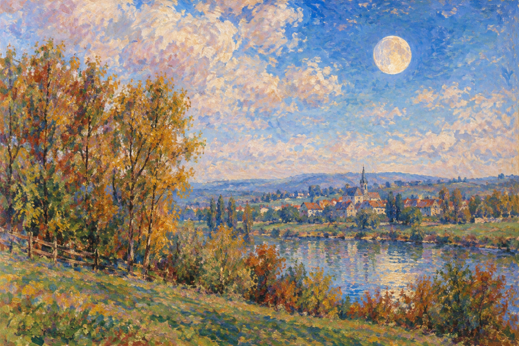 2026, October 29-31: Morning Moon Near Elnath and Pollux
When the Curves Line Up October 29-31, 2026: Follow the waning gibbous moon through Taurus and Gemini before sunrise, with positions near Elnath, Castor, and Pollux. by Jeffrey L. Hunt The moon watch shifts to the…
-
 Q2 Billings Area Weather: Warm and dry through Thursday; rain and snow Friday
BILLINGS — Quiet and sunny conditions remain through Thursday as high pressure transitions to a southwesterly flow by Thursday afternoon. Daytime highs will range from the mid-60s to mid-70s on Wednesday before warming…
- Tropical depression raises risk of heavy rain across Horn of Africa and Socotra
A tropical depression developing over the south-western Arabian Sea is expected to bring heavy rain and thunderstorms to parts of the Horn of Africa and the island of Socotra, according to the latest weather updates and…
-
 Cold Weather Brings a Hidden Danger for Indiana Drivers
One simple habit and just a few seconds of your time each morning could help protect Indiana's critters and save you a lot of heartache this winter. With colder weather finally returning to Indiana, it's time for a…
-
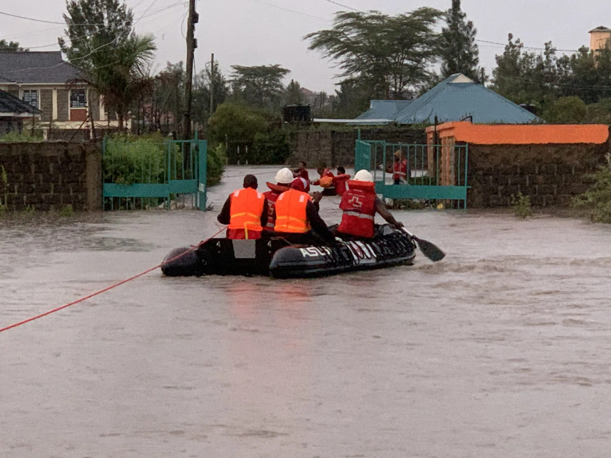 Kenya braces for El Niño rains as Met forecasts showers in 44 counties
NAIROBI, Kenya Oct 19 – Kenya is bracing for an increasingly wet October–December season, with the Kenya Meteorological Department forecasting rainfall across dozens of counties this week as the country prepares for the…
- Japan Declares Latest El Niño the Strongest on Record as Global Experts Debate Pacific Warming Metrics
Japan Meteorological Agency (JMA) recently confirmed that the current El Niño warming phenomenon is the most severe one in the history of monitoring dating back to 1949. According to JMA statistics, water temperatures…
-
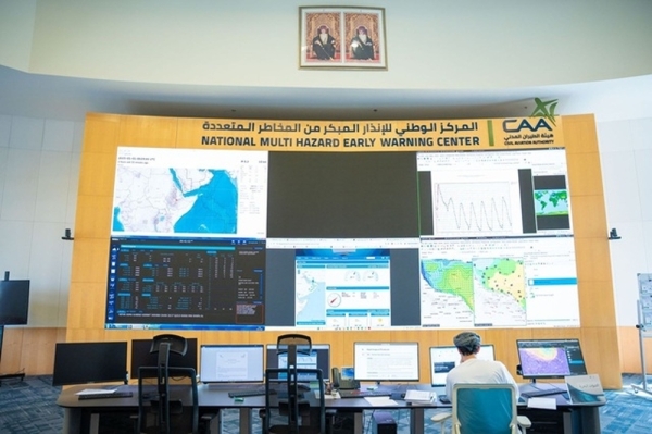 Tropical depression monitored southwest of Arabian Sea
MUSCAT: Satellite imagery and weather analyses of the National Multi-Hazard Early Warning Centre (NMHEWC) have shown the presence of a tropical... MUSCAT: Satellite imagery and weather analyses of the National…
-
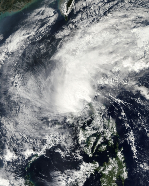 Low pressure system may affect Oman from Wednesday
Oman Observer MUSCAT: Satellite imagery and weather analyses of the National Multi-Hazard Early Warning Centre (NMHEWC) have shown the presence of a tropical depression presently located southwest of the Arabian Sea at…
-
 What’s happening across SA’s borders? Temperatures soar to 45°C
Home » News » Weather » What’s happening across SA’s borders? Temperatures soar to 45°C Extreme heat grips parts of SA’s neighbouring countries, with temperatures reaching 44°C in Zimbabwe and forecasts of 45°C in…
Sun & moon
Nearby
- Znojmo 36 km
- Sankt Pölten 51 km
- Stockerau 52 km
- Krems an der Donau 28 km
- Tulln 48 km
- Dačice 49 km
- Moravské Budějovice 45 km
- Hollabrunn 34 km
- Laa an der Thaya 54 km
- Telč 60 km
- Langenlois 22 km
- Gmünd 51 km
Forecasts, observations and alerts in the United States come from the National Weather Service (NOAA); radar from NOAA's Multi-Radar Multi-Sensor system; satellite imagery from NASA's Global Imagery Browse Services (GIBS) and NOAA's GOES satellites; the map from the U.S. Geological Survey's National Map; air quality from AirNow (EPA and its partners); hurricane information from the National Hurricane Center; climate normals and records from NOAA's Regional Climate Centers (ACIS). Forecasts outside the United States and the UV index: MET Norway (CC BY 4.0); observations outside the U.S.: airport reports via NOAA's Aviation Weather Center. Place names: GeoNames (CC BY 4.0). Data are copied on a schedule and may lag the sources; for warnings that affect your safety, follow your local National Weather Service office and emergency officials. Weather news is drawn from the 4Search index and reflects what the press published. Terms of use.