Install
Oro Verde, Entre Rios, Argentina Weather
Current conditions
Forecast for this hour (no station report in the last two hours)
Forecast
10-day-
Thursday
Heavy rain. High 24°. Precipitation 6.0 mm for the day.
-
Thursday Night
Light showers. Low 17°. Precipitation 6.0 mm for the day.
-
Friday
Light showers. High 26°. Precipitation 0.8 mm for the day.
MET Norway forecast updated 1 day ago.
Hourly
Hourly forecast- Now17°
- 08:0018°0.2
- 09:0020°
- 10:0021°
- 11:0022°
- 12:0023°
- 13:0023°
- 14:0024°
- 15:0024°
- 16:0024°1.6
- 17:0022°3.9
- 18:0021°0.2
- 19:0021°
- 20:0020°
- 21:0020°
- 22:0020°
- 23:0019°
- Fri00:0019°
- 01:0018°
- 02:0018°
- 03:0018°
- 04:0018°
- 05:0019°
- 06:0019°
Daily forecast
DetailsRadar
Full mapWeather news near Oro Verde
More weather news-
 Monday evening forecast: Heavy rain coming later this week
ALBUQUERQUE, N.M. – Thursday currently looks like New Mexico’s main heavy rain day, with flash flood concerns increasing across the western half to western two-thirds of the state. Scattered showers and thunderstorms…
- These Are the States With the Best Weather Year-round
California and Hawaii are strong contenders for the best weather in the U.S. year-round. Coastal California offers comfortable temperatures with limited seasonal swings; Hawaii delivers consistent coastal warmth. But…
- Wind-Whipped Oklahoma City Friday Sets Stage for Big Fall Warmup
North winds will run 17 to 22 mph Friday, with gusts reaching up to 33 mph, according to the National Weather Service office in Norman. Rain is not expected, so the main outdoor nuisance will be the wind, especially for…
-
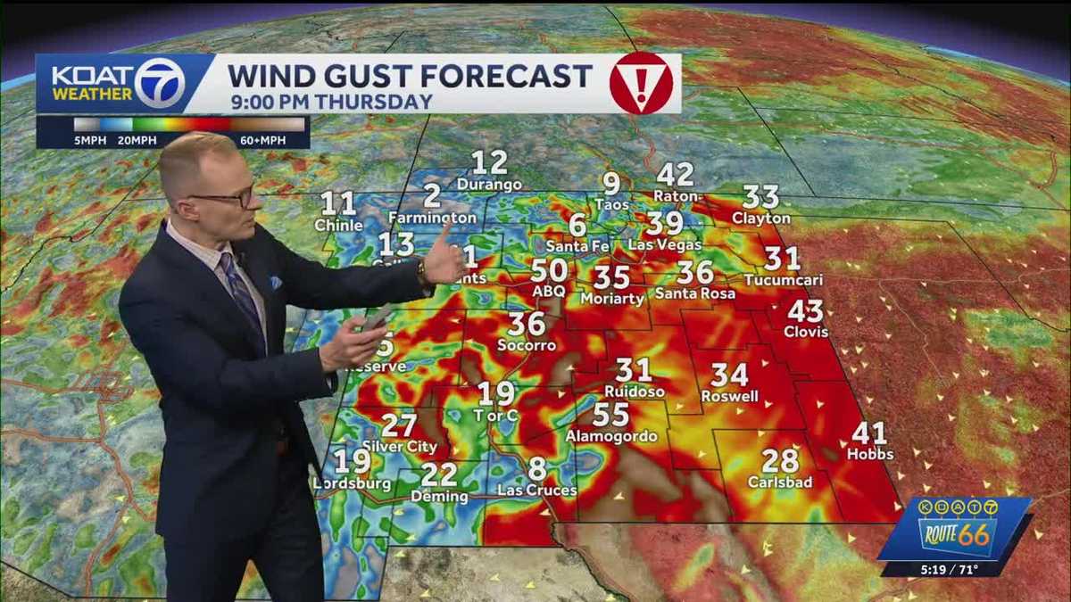 Dangerous wind and freezing temperatures
koat Dangerous east canyon winds target the east side of the Albuquerque metro tonight into early Friday Wind gusts could reach from 50 to 60 mph Thursday night in the Albuquerque metro, which could cause areas of…
-
 NOAA Winter Outlook Favors a Wet Winter for California, the Southwest and Colorado
Note: This is a seasonal outlook, not a snowfall forecast. NOAA does not project seasonal snowfall totals because snow is generally not predictable more than a week in advance. The NOAA winter outlook, released…
-
 Goodbye sunny days: polar air mass reaches São Paulo with prolonged cold spell of up to 10 °C and storm warnings
Despite the respite from the spring heat, a cold front between October 16 and 21 calls for caution regarding flooding and severe winds in São Paulo. ⛈️☔ Are you enjoying these sunny days in São Paulo? Then get ready…
-
 UPDATE: A cold front to sweep through Friday morning
KSAT UPDATE: A cold front to sweep through Friday morning Gusty winds of up to 35 mph are possible on Friday. UTSA gets $35 million for new athletic facilities 🧪 Science with Sarah: Mini lightsabers! ⚔️🌌 The 9@9: Pope…
-
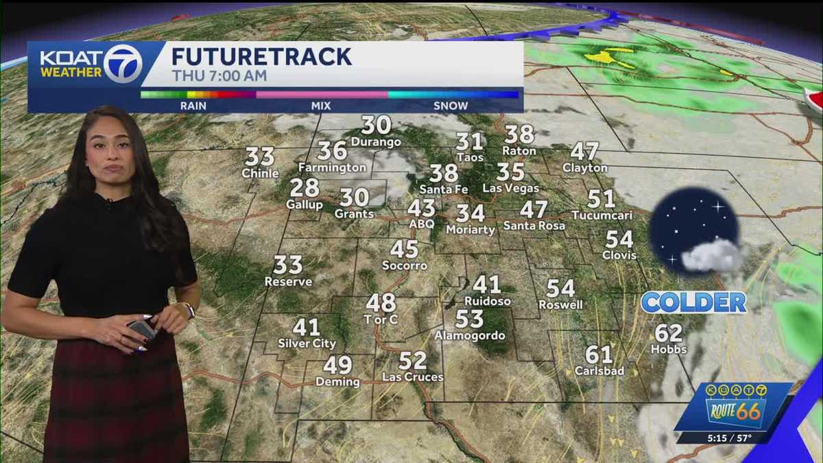 Another breezy and warm afternoon ahead of dangerous winds
KOAT Another breezy and warm afternoon ahead of dangerous winds Dangerous east canyon winds, a big chill down, & some mountain snow too It's going to be another breezy and warm afternoon with temperatures in the 70s in…
-
 First notable cold front of the season expected in New Mexico this week
Tanya Abramovitch, visiting with her family from Montreal, walks among wind sculptures outside Wiford Gallery as the winds picked in March 2025 afternoon on Canyon Road. Rain will return to parts of New Mexico beginning…
- First cold front of the season expected in New Mexico this week
Tanya Abramovitch, visiting with her family from Montreal, walks among wind sculptures outside Wiford Gallery as the winds picked in March 2025 afternoon on Canyon Road. Rain and wind will return to parts of New Mexico…
Sun & moon
Nearby
- Santa Fe 27 km
- Paraná 10 km
- Santo Tomé 30 km
- Esperanza 57 km
- Diamante 29 km
- Crespo 30 km
- Coronda 41 km
- San José del Rincón 25 km
- Recreo 42 km
- Laguna Paiva 59 km
- San Carlos Centro 55 km
- Viale 48 km
Forecasts, observations and alerts in the United States come from the National Weather Service (NOAA); radar from NOAA's Multi-Radar Multi-Sensor system; satellite imagery from NASA's Global Imagery Browse Services (GIBS) and NOAA's GOES satellites; the map from the U.S. Geological Survey's National Map; air quality from AirNow (EPA and its partners); hurricane information from the National Hurricane Center; climate normals and records from NOAA's Regional Climate Centers (ACIS). Forecasts outside the United States and the UV index: MET Norway (CC BY 4.0); observations outside the U.S.: airport reports via NOAA's Aviation Weather Center. Place names: GeoNames (CC BY 4.0). Data are copied on a schedule and may lag the sources; for warnings that affect your safety, follow your local National Weather Service office and emergency officials. Weather news is drawn from the 4Search index and reflects what the press published. Terms of use.