Install
Allen, Rio Negro, Argentina Weather
Current conditions
Forecast for this hour (no station report in the last two hours)
Forecast
10-day-
Wednesday
Rain. High 20°. Precipitation 3.6 mm for the day.
-
Wednesday Night
Rain. Low 13°. Precipitation 3.6 mm for the day.
-
Thursday
Heavy rain. High 17°. Precipitation 13.6 mm for the day.
MET Norway forecast updated 15 hrs ago.
Hourly
Hourly forecast- Now14°
- 02:0013°
- 03:0013°
- 04:0013°
- 05:0013°
- 06:0013°
- 07:0013°
- 08:0014°
- 09:0015°
- 10:0016°
- 11:0017°0.2
- 12:0018°0.3
- 13:0019°0.4
- 14:0019°0.3
- 15:0020°0.2
- 16:0020°
- 17:0020°
- 18:0019°0.9
- 19:0016°0.6
- 20:0015°
- 21:0014°
- 22:0014°
- 23:0013°
- Thu00:0013°
Daily forecast
DetailsRadar
Full mapWeather news near Allen
More weather news-
 Warming trend in Minnesota continues, as rain holds off
CBS News Minnesota is a local news organization that is part of CBS News and Stations. Also referred to as WCCO-TV and channel 4, CBS News Minnesota offers local breaking news, weather coverage and investigative…
-
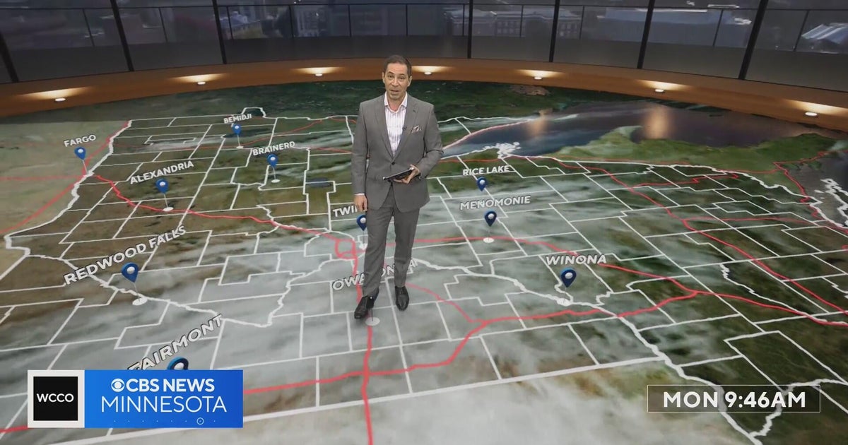 Minnesota’s warm, dry streak continues, with temperatures nearing 80 by Thursday | Oct. 19, 2026
A ridge of high pressure keeps the jet stream and cold air to the north, WCCO’s meteorologist says. Highs reach nearly 70 in the Twin Cities Wednesday, the mid 70s Thursday and close to 80 in parts of south central…
-
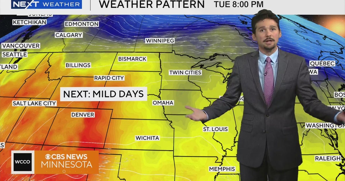 No cold air in sight for next week in Minnesota weather | Oct. 19, 2026
A west-to-east flow is keeping colder air to the north, WCCO meteorologist Joseph Dames says, and warmth building through the Rockies should push temperatures above average toward the end of the week. Cooler air may not…
-
 Marion County weather forecast: Sunny skies and a gradual warm-up expected through Friday
MARION, OH (MARION COUNTY NOW) – Marion County residents can expect a stretch of sunny, dry weather from Monday through Friday, with afternoon highs in the upper 60s and overnight temperatures dipping into the upper 30s…
-
 Dangerous Freeze Warnings for 38 Counties in Indiana as Temperatures Plummet
Freeze Warnings are in effect for 38 counties in Indiana from early Sunday morning, with lows as cold as 30 degrees expected. The warnings cover central, northern, east central and southeast Indiana. Three National…
-
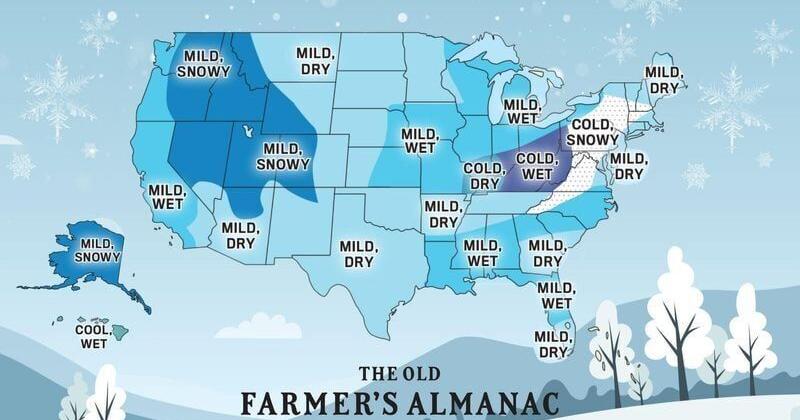 When will we see first snow? Old Farmer's Almanac Thanksgiving forecast
This weekend's crazy weather has seen us go from temperatures near 80 and severe thunderstorms to lows in the 30s and a potential for frost. A medical helicopter was called after a report of a motorcycle crash in…
-
 Dangerous Freeze Watch for Parts of Indiana and Michigan as Temperatures Drop
A Freeze Watch is in effect for northern, east central and southeast Indiana from late Saturday night through Sunday morning, with lows as cold as 31 degrees possible. A Frost Advisory comes first, for parts of northern…
-
 The Ledger — Friday, October 16, 2026
The Ledger is Lubbock Lights’ daily digest of the news that matters to Lubbock and the South Plains — our reporting first, then short summaries of stories reported by other newsrooms, each linked to its source. How we…
-
 First Alert Forecast: Temperatures continue to drop heading into the weekend
Tracking cooler temperatures, gusty winds, and rain chances to end the work week FORT WAYNE, Ind. (WPTA) - A rainy, windy, and cooler end to the week in store with a cold front pushing through this morning. Temperatures…
-
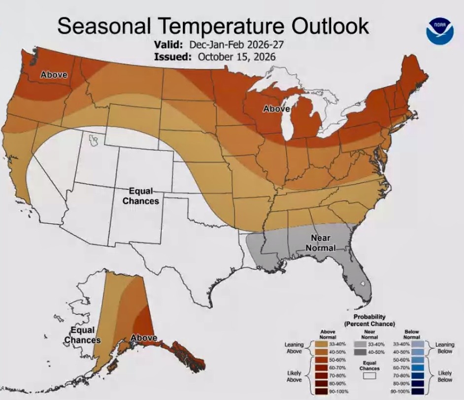 ND winter outlook leans warmer, drier
The warmer weather pattern this fall is expected to slowly transition into winter, which also could be warmer than normal in North Dakota, according to the winter outlook released by the National Weather Service…
Sun & moon
Nearby
- Neuquén 20 km
- Cipolletti 15 km
- General Roca 22 km
- Plottier 35 km
- Centenario 31 km
- Cinco Saltos 27 km
- General Fernández Oro 9 km
- Senillosa 53 km
- Ingeniero Luis A. Huergo 52 km
- Cervantes 38 km
- Las Perlas 27 km
- General Enrique Godoy 59 km
Forecasts, observations and alerts in the United States come from the National Weather Service (NOAA); radar from NOAA's Multi-Radar Multi-Sensor system; satellite imagery from NASA's Global Imagery Browse Services (GIBS) and NOAA's GOES satellites; the map from the U.S. Geological Survey's National Map; air quality from AirNow (EPA and its partners); hurricane information from the National Hurricane Center; climate normals and records from NOAA's Regional Climate Centers (ACIS). Forecasts outside the United States and the UV index: MET Norway (CC BY 4.0); observations outside the U.S.: airport reports via NOAA's Aviation Weather Center. Place names: GeoNames (CC BY 4.0). Data are copied on a schedule and may lag the sources; for warnings that affect your safety, follow your local National Weather Service office and emergency officials. Weather news is drawn from the 4Search index and reflects what the press published. Terms of use.