Install
Cuíto, Bíe, Angola Weather
Current conditions
Forecast for this hour (no station report in the last two hours)
Forecast
10-day-
Thursday Night
Cloudy. Low 21°.
-
Friday
Light showers. High 33°. Precipitation 0.7 mm for the day.
-
Friday Night
Rain. Low 17°. Precipitation 0.7 mm for the day.
MET Norway forecast updated 2 hrs ago.
Hourly
Hourly forecast- Now21°
- Fri00:0020°
- 01:0019°
- 02:0019°
- 03:0019°
- 04:0018°
- 05:0017°
- 06:0018°
- 07:0022°
- 08:0025°
- 09:0028°
- 10:0029°
- 11:0031°
- 12:0033°
- 13:0032°
- 14:0031°
- 15:0031°
- 16:0030°
- 17:0028°
- 18:0025°
- 19:0024°
- 20:0022°0.2
- 21:0019°0.3
- 22:0020°
10-day forecast
Details- TonightOct 22Cloudy21°21°
- FriOct 23Light showers0.7 mm17°33°
- SatOct 24Heavy showers2.2 mm18°30°
- SunOct 25Light showers3.0 mm16°30°
- MonOct 26Showers6.5 mm15°28°
- TueOct 27Light showers12.1 mm16°28°
- WedOct 28Showers3.5 mm16°28°
- ThuOct 29Rain3.1 mm16°26°
- FriOct 30Partly cloudy14.3 mm16°26°
- SatOct 31Showers4.1 mm15°27°
Radar
Full mapWeather news in Angola
More weather news-
 Dangerous Freeze Warnings for 38 Counties in Indiana as Temperatures Plummet
Freeze Warnings are in effect for 38 counties in Indiana from early Sunday morning, with lows as cold as 30 degrees expected. The warnings cover central, northern, east central and southeast Indiana. Three National…
-
 First Alert Weather: Mild afternoons before weekend local nor’easter
Here's what the First Alert Weather Team said you can expect in the forecast: This evening will be dry and clear. Tomorrow morning, temperatures will drop to the lower to mid-50s around Jacksonville and upper 60s along…
-
 South East prepares for impact of Storm Austen
Seafront closures, cancelled events and travel disruption are expected as the first named storm of the season approaches south-east England. The Met Office has issued a yellow weather warning for wind across the region…
-
 Subtropical Storm Josephine forms in the Atlantic
Strong winds are expected to continue affecting offshore waters and coastal regions, with numerous gale warnings remaining in effect through at least Friday afternoon, especially across coastal New England. Winds will…
-
 Super Typhoon Champi, one of the strongest storms this year, will impact Taiwan, China and Japan
Super Typhoon Champi made a close pass to Guam, tied for strongest storm of the year, and will now affect Taiwan, China and Japan. Published Oct 19, 2026 12:22 PM EDT | Updated Oct 22, 2026 12:45 PM EDT Depending on the…
-
 Halloween weather forecast. See you need a coat for trick-or-treating
After all the planning and struggling to find the perfect Halloween costume, it's difficult for children going trick-or-treating to hear those dreadful words: You need a coat to stay warm and dry. However, that might be…
-
 Josephine in Atlantic drifts away, but Pacific moisture might spoil Halloween for Texas
Subtropical Storm Josephine in the North Atlantic is racing away from the United States, while moisture from a strengthening eastern Pacific storm could bring rain to Texas around Halloween next week. Josephine's center…
-
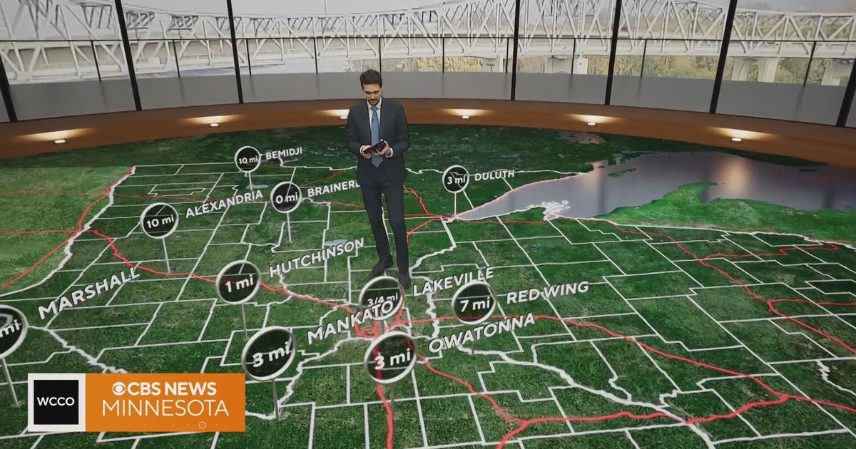 Minnesota gets 3 more days in the 70s, then a cold front cuts the weekend in half | Oct. 22, 2026
Thursday and likely Friday and Saturday all reach the mid 70s, then a cold front moves through Saturday evening and night, dropping highs into the 50s Sunday and the lower 50s Monday through Wednesday, WCCO…
-
 Hail the size of golf balls pummels parts of Arizona as rare storm moves through the West
PHOENIX — Hail the size of golf balls and damaging wind gusts pounded northern and central Arizona in a rare storm blowing through, bringing with it tornado risks and possible flash floods. The National Weather Service…
-
 Bryan Norcross: The last day for Subtropical Storm Josephine before it morphs into a non-tropical system
The system that was the non-tropical nor'easter and yesterday morphed into Subtropical Storm Josephine is forecast to remorph into a non-tropical North Atlantic system late today or tonight. Except for southeastern New…
Forecasts, observations and alerts in the United States come from the National Weather Service (NOAA); radar from NOAA's Multi-Radar Multi-Sensor system; satellite imagery from NASA's Global Imagery Browse Services (GIBS) and NOAA's GOES satellites; the map from the U.S. Geological Survey's National Map; air quality from AirNow (EPA and its partners); hurricane information from the National Hurricane Center; climate normals and records from NOAA's Regional Climate Centers (ACIS). Forecasts outside the United States and the UV index: MET Norway (CC BY 4.0); observations outside the U.S.: airport reports via NOAA's Aviation Weather Center. Place names: GeoNames (CC BY 4.0). Data are copied on a schedule and may lag the sources; for warnings that affect your safety, follow your local National Weather Service office and emergency officials. Weather news is drawn from the 4Search index and reflects what the press published. Terms of use.