Install
Hot, Shkodër County, Albania Weather
Current conditions
Observed at Podgorica Arpt · 19 min ago
Forecast
10-day-
Wednesday
Heavy rain. High 18°. Precipitation 69.6 mm for the day.
-
Wednesday Night
Heavy rain. Low 14°. Precipitation 69.6 mm for the day.
-
Thursday
Heavy rain. High 18°. Precipitation 21.4 mm for the day.
MET Norway forecast updated 22 hrs ago.
Hourly
Hourly forecast- Now18°0.7
- 10:0017°3.8
- 11:0017°4.2
- 12:0017°4.3
- 13:0017°4.8
- 14:0017°8.6
- 15:0017°5.3
- 16:0017°6.7
- 17:0017°4.5
- 18:0017°5.3
- 19:0017°4.4
- 20:0017°3.8
- 21:0017°4.1
- 22:0017°5.5
- 23:0017°3.5
- Thu00:0017°3.3
- 01:0017°7.0
- 02:0016°2.5
- 03:0016°0.8
- 04:0016°0.4
- 05:0016°
- 06:0016°
- 07:0016°
- 08:0016°
Daily forecast
DetailsRadar
Full mapWeather news near Hot
More weather news-
 Chance of drizzle on hot Tuesday, light fog possible at night
Kuwait Times Chance of drizzle on hot Tuesday, light fog possible at night KUWAIT: The weather will be hot and relatively humid over coastal areas on Tuesday, with partly cloudy skies and a chance of drizzle at times…
-
 Mumbai Weather Update: Mercury Set To Touch 36°C Today As Hot & Humid Conditions Persist; AQI Remains In Unhealthy Range
Mumbai is expected to reach 36°C on Tuesday amid humid conditions and generally clear skies, according to the India Meteorological Department. The minimum temperature was 29°C in the morning. Last week, the city…
- Karachi to experience hot, dry weather as temperatures likely to reach 39°C
KARACHI – The hot and dry weather is expected to persist in Karachi over the next several days. The maximum temperatures is likely to reach 39 degrees Celsius as per prediction of Pakistan Meteorological Department…
-
 Mumbai weather updates: Hot and humid conditions to continue on Sunday, IMD forecasts dry weather
Mumbai weather: Hot and humid conditions to continue on Sunday, IMD forecasts dry weather Mid-Day Home / Mumbai / Mumbai News / Article / Mumbai weather: Hot and humid conditions to continue on Sunday, IMD forecasts dry…
-
 Karachi sizzling as mercury touches 39ºC
KARACHI: The city continued to sizzle on Monday as the maximum daytime temperature touched 39 Celsius, 2.6 degrees above normal, with the Met Office warning of more hot days this week. The city’s temperature persisted…
- Why one part of South Africa is sweltering while another is freezing
This is why South Africa can be hot in one province and cold in another. As recent weather shows, South Africans can experience dramatically different weather conditions on the same day, with one province melting in hot…
-
 Zimbabwe Weather Alert: 3 Days Of Very Hot Conditions Expected Across The Country
Zimbabwe is set to experience very hot weather from Sunday, 18 October, to Tuesday, 20 October 2026, with afternoon temperatures expected to climb significantly. The warning covers the country, with low-lying areas such…
-
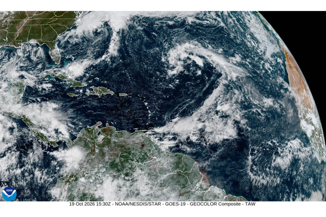 PUBLIC WEATHER FORECAST FOR ST. MAARTEN
DATE ISSUED: Monday 19th October 2026 @ 12:00 LST (16:00 UTC) VALID UNTIL: Tuesday midday (12:00 LST) 20th October 2026 Forecast Low: 27°C / 81°F This afternoon through Tuesday midday: Southeast to easterly, with a…
-
 Five ways El Niño is affecting the weather around the world
El Niño has been strengthening for several months now and is already having a significant impact on global weather patterns. Countries including Indonesia, India and the United States have been experiencing droughts…
- Nothing but sunshine in sight and no rain on the horizon
Lack of any organized rainfall is the bad news in our weather forecast RAIN CHANCES: Staying dry throughout the week with no rain in sight as a high pressure will be neighboring near the viewing area. Sunny and dry…
Sun & moon
Nearby
Forecasts, observations and alerts in the United States come from the National Weather Service (NOAA); radar from NOAA's Multi-Radar Multi-Sensor system; satellite imagery from NASA's Global Imagery Browse Services (GIBS) and NOAA's GOES satellites; the map from the U.S. Geological Survey's National Map; air quality from AirNow (EPA and its partners); hurricane information from the National Hurricane Center; climate normals and records from NOAA's Regional Climate Centers (ACIS). Forecasts outside the United States and the UV index: MET Norway (CC BY 4.0); observations outside the U.S.: airport reports via NOAA's Aviation Weather Center. Place names: GeoNames (CC BY 4.0). Data are copied on a schedule and may lag the sources; for warnings that affect your safety, follow your local National Weather Service office and emergency officials. Weather news is drawn from the 4Search index and reflects what the press published. Terms of use.