Install
Myanmar weather
Cities
| City | Now | Temp | High | Low | Precip |
|---|---|---|---|---|---|
| Yangon, Myanmar | Haze | 28° | 30° | 28° | – |
| Mandalay, Myanmar | Mostly sunny | 33° | 30° | 26° | – |
| Nay Pyi Taw, Myanmar | Clear | 27° | 27° | 26° | – |
| Hlaingthaya, Myanmar | Partly cloudy | 27° | 28° | 27° | – |
| Mawlamyine, Myanmar | Heavy showers | 29° | 29° | 26° | – |
| Kalemyo, Myanmar | Partly cloudy | 26° | 27° | 25° | – |
| Insein, Myanmar | Mostly cloudy | 29° | 31° | 27° | – |
| Bago, Myanmar | Partly cloudy | 28° | 31° | 27° | – |
| Amarapura, Myanmar | Partly cloudy | 29° | 29° | 28° | – |
| Pathein, Myanmar | Partly cloudy | 27° | 27° | 26° | – |
| Yawnghwe, Myanmar | Showers | 23° | 23° | 21° | – |
| Monywa, Myanmar | Partly cloudy | 27° | 27° | 26° | – |
| Kyaukpyu, Myanmar | Mostly clear | 28° | 31° | 28° | – |
| Sittwe, Myanmar | Partly cloudy | 29° | 29° | 28° | – |
| Meiktila, Myanmar | Partly cloudy | 26° | 26° | 25° | – |
| Myeik, Myanmar | Light rain | 26° | 26° | 26° | – |
| Kēng Tung, Myanmar | Partly cloudy | 24° | 32° | 23° | – |
| Mu-se, Myanmar | Partly cloudy | 23° | 23° | 21° | – |
| Taunggyi, Myanmar | Light showers | 19° | 24° | 18° | – |
| Myingyan, Myanmar | Rain | 29° | 33° | 27° | – |
| Dawei, Myanmar | Mostly sunny | 29° | 29° | 25° | – |
| Mingaladon, Myanmar | Mostly cloudy | 29° | 31° | 27° | – |
| Pyay, Myanmar | Partly cloudy | 27° | 32° | 26° | – |
| Hinthada, Myanmar | Partly cloudy | 27° | 27° | 27° | – |
| Thandwe, Myanmar | Light showers | 25° | 25° | 24° | – |
| Kyauktan, Myanmar | Partly cloudy | 28° | 32° | 27° | – |
| Mingala Tangnyunt, Myanmar | Forecast loading — check back in a minute. | ||||
| Lashio, Myanmar | Forecast loading — check back in a minute. | ||||
| Pakokku, Myanmar | Partly cloudy | 27° | 27° | 26° | – |
| Thaton, Myanmar | Sunny | 32° | 32° | 25° | – |
Weather news
More-
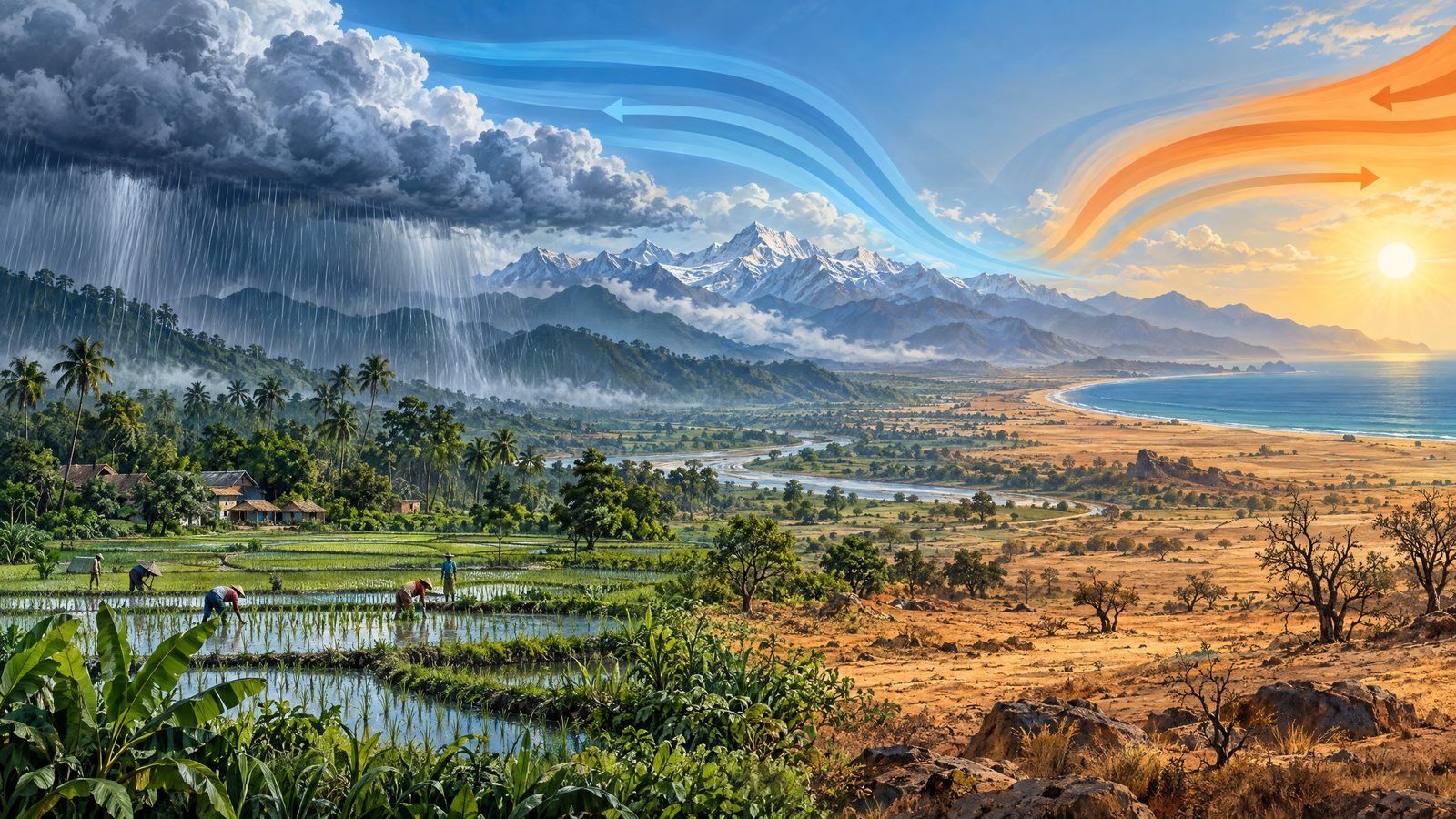 South Asian outlook maps contrasting El Nino rainfall prospects
London Daily News A regional consensus outlook for October to December points to sharply different rainfall prospects across South Asia, while temperatures are expected to be near or above normal over most of the…
More places
- Ann
- Pyin Oo Lwin
- Möng Yang
- Set Ka Lay
- Yenangyaung
- Taungoo
- San Chaung
- Thayetmyo
- Pyinmana
- Magway
- Heho
- Kalaw
- Myitkyina
- Chauk
- Mogok
- Nyaunglebin
- Sangyoung
- Mudon
- Shwebo
- Taikkyi
- Lakang
- Sagaing
- Thanhlyin
- Dawbon
- Taungdwingyi
- Thanlyin
- Bogale
- Gwa
- Hpākān
- Yamethin
- Shwegu
- Myaungmya
- Kanbe
- Kawthoung
- Myaydo
- Minbu
- Thanbyuzayat
- Buthidaung Town
- Bhamo
- Tharyarwady
- Thongwa
- Kyaiklat
- Tachilek
- Manaung
- Kyaukse
- Hpa-An
- Kyaikto
- Martaban
- Nyaung-U
- Kawkareik
- Kyaikkami
- Pyapon
- Twante
- Myawaddy
- Mawlaik
- Nyaung
- Tamu
- Möng La
- Kyaukpadaung
- Kyauktan
- Wakema
- Maubin
- Thin Gan Kyun Gyi
- Myanaung
- Oke Kan
- Tatkon
- Pyu
- Kayan
- Nyaungdon
- Shwenatha
- Kyaukme
- Möng Yawng
- Letpandan
- Hlegu
- Daik-u
- Thanatpin
- Paungde
- Botataung
- Mrauk U
- Ye
- Mawlamyinegyunn
- Tangyan
- Namhkam
- Mohnyin
- Wundwin
- Pyawbwe
- Danai
- Kyauktaga
- Aungban
- Lewe
- Labutta
- Lawksawk
- Paung
- Shwe Lin Ban
- Kungyangon
- Payathonzu
- Panglong
- Taungup
- Katha
- Hmaw Bi
- Kanbalu
- Mogaung
- Kutkai
- Zee Kone
- Hakha
- Shwegyin
- Yedashe
- Madaya
- Pawgan
- Kyonpyaw
- Nansang
- Kyeintali
- Laukkai
- Hopin
- Yesagyo
- Ah Lel
- Waw
- Sinngu
- Kone Ta La Paung
- Zalun
Forecasts, observations and alerts in the United States come from the National Weather Service (NOAA); radar from NOAA's Multi-Radar Multi-Sensor system; satellite imagery from NASA's Global Imagery Browse Services (GIBS) and NOAA's GOES satellites; the map from the U.S. Geological Survey's National Map; air quality from AirNow (EPA and its partners); hurricane information from the National Hurricane Center; climate normals and records from NOAA's Regional Climate Centers (ACIS). Forecasts outside the United States and the UV index: MET Norway (CC BY 4.0); observations outside the U.S.: airport reports via NOAA's Aviation Weather Center. Place names: GeoNames (CC BY 4.0). Data are copied on a schedule and may lag the sources; for warnings that affect your safety, follow your local National Weather Service office and emergency officials. Weather news is drawn from the 4Search index and reflects what the press published. Terms of use.